
Matamoras, Pennsylvania, borough of Pennsylvania
Location: Pike County
Inception: January 18, 1905
Elevation above the sea: 130 m
Website: http://matamorasborough.com
GPS coordinates: 41.36778,-74.70167
Latest update: September 2, 2025 07:02
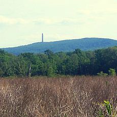
High Point
6.2 km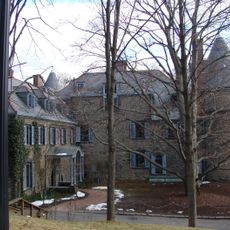
Grey Towers National Historic Site
10.9 km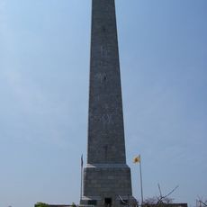
High Point State Park
8.4 km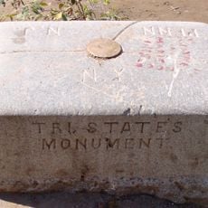
Tri-States Monument
1.3 km
Rutan Hill
13.8 km
Space Farms Zoo and Museum
17.6 km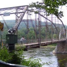
Pond Eddy Bridge
12.7 km
Neversink Preserve
10.5 km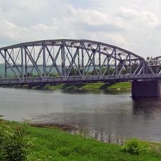
Mid-Delaware Bridge
543 m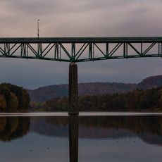
Milford–Montague Toll Bridge
10.7 km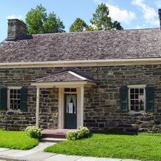
Fort Decker
1.2 km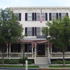
Hotel Fauchere and Annex
9.7 km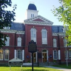
Pike County Courthouse
9.6 km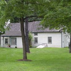
Callahan House
10 km
Huguenot Schoolhouse
8.2 km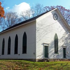
First Presbyterian Church of Wantage
15.6 km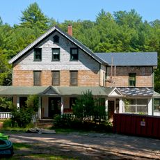
Cottage in the Pines
13.3 km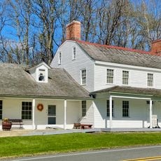
Foster-Armstrong House
9.8 km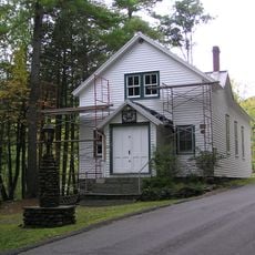
Mill Rift Hall
6.1 km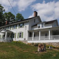
Elias Van Bunschooten House
12.8 km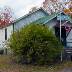
Neversink Valley Grange Hall No. 1530
8.1 km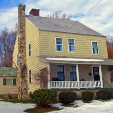
Hulet Clark Farmstead
13.4 km
Nearpass House
6.6 km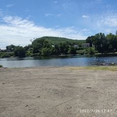
West End Beach
1.1 km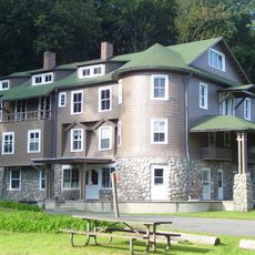
Arisbe
6.1 km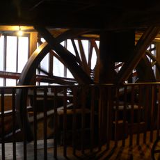
Jervis Gordon Grist Mill Historic District
10.4 km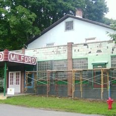
Milford Theatre
9.7 km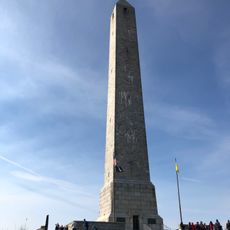
High Point Monument War Veterans Memorial
6.2 kmVisited this place? Tap the stars to rate it and share your experience / photos with the community! Try now! You can cancel it anytime.
Discover hidden gems everywhere you go!
From secret cafés to breathtaking viewpoints, skip the crowded tourist spots and find places that match your style. Our app makes it easy with voice search, smart filtering, route optimization, and insider tips from travelers worldwide. Download now for the complete mobile experience.

A unique approach to discovering new places❞
— Le Figaro
All the places worth exploring❞
— France Info
A tailor-made excursion in just a few clicks❞
— 20 Minutes