Enable Location

We need your location to show you interesting places around you

Discover nearby places

Find interesting locations and hidden gems around you

Precise directions

Get accurate directions and distances to places

Your location is never shared with other users. It's only used when you tap the location button.

Pike County

Log in to your account

Start exploring — it's free

Trusted by 62,464 travelers worldwide

Continue with Google
Continue with Apple
or

We will send you a code to connect

By continuing, you accept our Terms and Conditions and our Privacy Policy

Check your inbox

We've sent a pincode in your inbox. Please enter the code below.

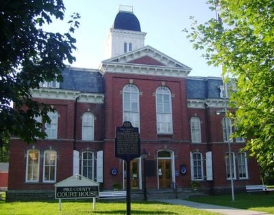
Pike County, Administrative county in northeastern Pennsylvania, US

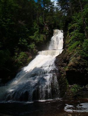
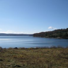
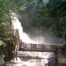
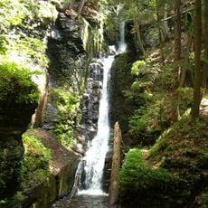
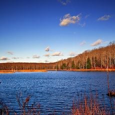
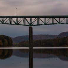
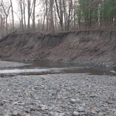
Pike County is an administrative county in northeastern Pennsylvania defined by mountains and river valleys. Forests cover much of the land, and the human-made Lake Wallenpaupack sits within its borders.

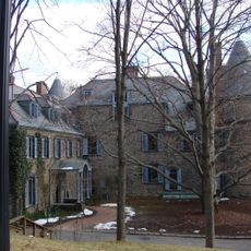
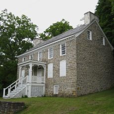
The county was established in 1814 and named after General Zebulon Pike. European settlement began over a century earlier, with people moving in for resources and trade.

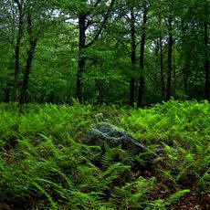
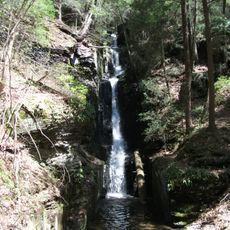
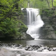
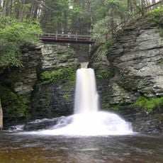
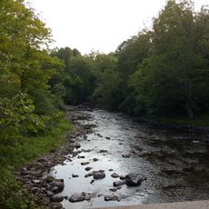
Forests shape the landscape and show how deeply the region connects to timber and conservation work. Visitors still notice this forestry tradition today in the well-maintained woodlands around Milford.

Interstate 84 connects the area directly to nearby markets about an hour and a half away by car. The spread-out landscape means visitors should allow time to travel between different zones.

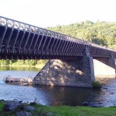
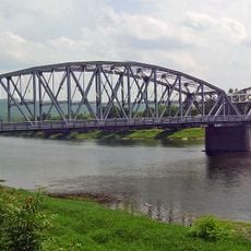
A historic canal once linked this region to a major trade route built for moving raw materials in the early 1800s. That waterway completely changed how the area fit into the regional economy of its time.

The community of curious travelers

AroundUs brings together thousands of curated places, local tips, and hidden gems, enriched daily by 60,000 contributors worldwide.

Start exploring
Location
Inception
March 8, 1814
Capital city
Milford
Shares border with
Sullivan County, Orange County, Sussex County, Monroe County, Wayne County
GPS coordinates
41.33000,-75.03000
Latest update
December 14, 2025 21:16
Around this place
Lake Wallenpaupack
United States of America

Lake Wallenpaupack

19.9 km
Bushkill Falls
United States of America

Bushkill Falls

23.7 km
Delaware Water Gap National Recreation Area
United States of America

Delaware Water Gap National Recreation Area

21.9 km
Grey Towers National Historic Site
United States of America

Grey Towers National Historic Site

17.5 km
Roebling's Delaware Aqueduct
United States of America

Roebling's Delaware Aqueduct

17.4 km
High Point State Park
United States of America

High Point State Park

28.5 km
Promised Land State Park
United States of America

Promised Land State Park

14.2 km
Tri-States Monument
United States of America

Tri-States Monument

28.2 km
Dingmans Falls
United States of America

Dingmans Falls

15.9 km
Stokes State Forest
United States of America

Stokes State Forest

25.3 km
Dingman's Ferry Bridge
United States of America

Dingman's Ferry Bridge

18.8 km
Space Farms Zoo and Museum
United States of America

Space Farms Zoo and Museum

31.2 km
United States of America

Raymondskill Falls

16.3 km
Zane Grey Museum
United States of America

Zane Grey Museum

17.7 km
Pond Eddy Bridge
United States of America

Pond Eddy Bridge

21.3 km
Silverthread Falls
United States of America

Silverthread Falls

16.3 km
United States of America

Resica Falls Scout Reservation

24.9 km
Delaware State Forest
United States of America

Delaware State Forest

25.7 km
United States of America

George W. Childs Recreation Site

14.3 km
Fulmer Falls
United States of America

Fulmer Falls

14 km
Deer Leap Falls
United States of America

Deer Leap Falls

14.2 km
Mid-Delaware Bridge
United States of America

Mid-Delaware Bridge

28.1 km
Milford–Montague Toll Bridge
United States of America

Milford–Montague Toll Bridge

19.4 km
United States of America

Fairview Lake

15 km
Minisink Archaeological Site
United States of America

Minisink Archaeological Site

26.5 km
Flat Brook
United States of America

Flat Brook

21.9 km
Van Campen's Inn
United States of America

Van Campen's Inn

21.7 km
Bellemonte Silk Mill
United States of America

Bellemonte Silk Mill

19.8 km
Show the full map
Administrative divisions
« Pike County - Administrative county in northeastern Pennsylvania, US » is provided by Around Us (aroundus.com). Images and texts are derived from Wikimedia project under a Creative Commons license. You are allowed to copy, distribute, and modify copies of this page, under the conditions set by the license, as long as this note is clearly visible.

Discover hidden gems everywhere you go!

From secret cafés to breathtaking viewpoints, skip the crowded tourist spots and find places that match your style. Our app makes it easy with voice search, smart filtering, route optimization, and insider tips from travelers worldwide. Download now for the complete mobile experience.

Around Us App Screenshot

A unique approach to discovering new places

Le Figaro

All the places worth exploring

France Info

A tailor-made excursion in just a few clicks

20 Minutes

Around Us
Travel Guide & Maps
Download

Send to your phone

QR Code
1

Open the camera app on your mobile.

2

Point at the QR code with your camera. A notification will appear.

3

Tap the notification to open the link.