Enable Location

We need your location to show you interesting places around you

Discover nearby places

Find interesting locations and hidden gems around you

Precise directions

Get accurate directions and distances to places

Your location is never shared with other users. It's only used when you tap the location button.

Log in to your account

Start exploring — it's free

Trusted by 66,561 travelers worldwide

Continue with Google
Continue with Apple
or

We will send you a code to connect

By continuing, you accept our Terms and Conditions and our Privacy Policy

Check your inbox

We've sent a pincode in your inbox. Please enter the code below.

Resica Falls Scout Reservation
Discussion Reviews Photo
3.4k Popularity

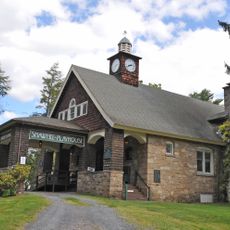
Resica Falls Scout Reservation, Scout reservation with waterfall in East Stroudsburg, Pennsylvania

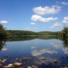
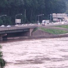
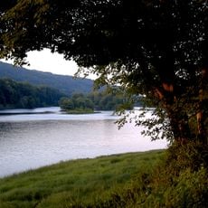
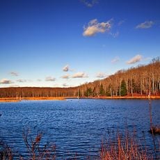
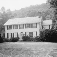
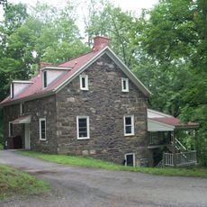
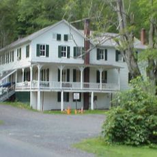
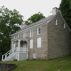
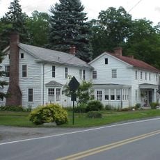
Resica Falls Scout Reservation is a protected area along Big Bushkill Creek in Pennsylvania, with woodlands, camping grounds, and outdoor activity facilities spread across the property. The land is divided into several zones, some set up for overnight camping and others focused on waterside and trail activities.

The land was purchased jointly by the Philadelphia and Valley Forge Councils in 1955 and opened as a scout camp in 1957. From the start, the property was divided into three main sections to support different scouting programs.

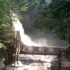
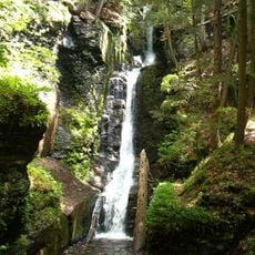
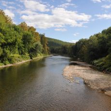
The reservation takes its name from the waterfall that runs through the property and serves as a natural gathering point for groups. Scouts who come here learn outdoor skills by doing them directly in the woods and along the creek, not in a classroom.

Much of the property is used primarily for organized scouting groups, so contacting the reservation in advance is the best way to know what is open to outside visitors. Summer is the busiest season, and some areas may be restricted during active camp programs.

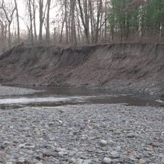
The waterfall on the property drops about 45 feet (14 m) and can be reached without a long hike, as it sits close to the main camp area. Most visitors focus on the falls itself but miss the stretch of creek below, which is used for fishing and wading.

The community of curious travelers

AroundUs brings together thousands of curated places, local tips, and hidden gems, enriched daily by 60,000 contributors worldwide.

Start exploring
Location
GPS coordinates
41.11150,-75.09460
Latest update
March 3, 2026 13:59
Around this place
Bushkill Falls
United States of America

Bushkill Falls

7.1 km
Delaware Water Gap National Recreation Area
United States of America

Delaware Water Gap National Recreation Area

15.9 km
Mount Tammany
United States of America

Mount Tammany

15.9 km
Sunfish Pond
United States of America

Sunfish Pond

12.2 km
Delaware Water Gap Toll Bridge
United States of America

Delaware Water Gap Toll Bridge

15.4 km
Worthington State Forest
United States of America

Worthington State Forest

13.2 km
United States of America

Tannersville Cranberry Bog

15.8 km
Delaware State Forest
United States of America

Delaware State Forest

6.2 km
Pahaquarry Copper Mine
United States of America

Pahaquarry Copper Mine

9.9 km
Minisink Archaeological Site
United States of America

Minisink Archaeological Site

8.8 km
Pocono Manor Historic District
United States of America

Pocono Manor Historic District

13.3 km
Cold Spring Farm Springhouse
United States of America

Cold Spring Farm Springhouse

8.4 km
Zion Lutheran Church
United States of America

Zion Lutheran Church

9.2 km
Worthington Hall
United States of America

Worthington Hall

11.1 km
Shawnee-Minisink Site
United States of America

Shawnee-Minisink Site

13.9 km
John Michael Farm
United States of America

John Michael Farm

9.1 km
Brodhead Farm
United States of America

Brodhead Farm

15.2 km
Nyce Farm
United States of America

Nyce Farm

14.1 km
Capt. Jacob Shoemaker House
United States of America

Capt. Jacob Shoemaker House

6.3 km
Schoonover Mountain House
United States of America

Schoonover Mountain House

7.7 km
Old Mine Road Historic District
United States of America

Old Mine Road Historic District

11.5 km
Peters House
United States of America

Peters House

8 km
Abraham Van Campen House
United States of America

Abraham Van Campen House

11.8 km
Smith-Rosenkrans House
United States of America

Smith-Rosenkrans House

9.6 km
Colonel Abraham Van Campen House
United States of America

Colonel Abraham Van Campen House

9.7 km
Moses Van Campen House
United States of America

Moses Van Campen House

9.9 km
Decker Ferry House
United States of America

Decker Ferry House

10.1 km
Old Mine Road
United States of America

Old Mine Road

12.5 km
Show the full map
Reviews
Share your experience

No review yet

Discussions
Start a discussion...

No discussion yet

« Resica Falls Scout Reservation - Scout reservation with waterfall in East Stroudsburg, Pennsylvania » is provided by Around Us (aroundus.com). Images and texts are derived from Wikimedia project under a Creative Commons license. You are allowed to copy, distribute, and modify copies of this page, under the conditions set by the license, as long as this note is clearly visible.

Discover hidden gems everywhere you go!

From secret cafés to breathtaking viewpoints, skip the crowded tourist spots and find places that match your style. Our app makes it easy with voice search, smart filtering, route optimization, and insider tips from travelers worldwide. Download now for the complete mobile experience.

Around Us App Screenshot

A unique approach to discovering new places

Le Figaro

All the places worth exploring

France Info

A tailor-made excursion in just a few clicks

20 Minutes

Around Us
Travel Guide & Maps
Download

Send to your phone

QR Code
1

Open the camera app on your mobile.

2

Point at the QR code with your camera. A notification will appear.

3

Tap the notification to open the link.