Delaware Water Gap National Recreation Area
Delaware Water Gap National Recreation Area, National recreation area in Pennsylvania and New Jersey, US
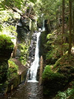
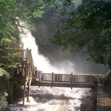
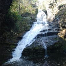
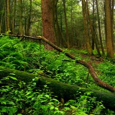
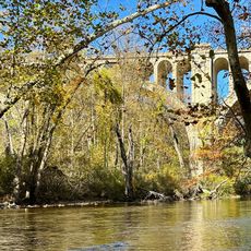
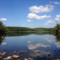
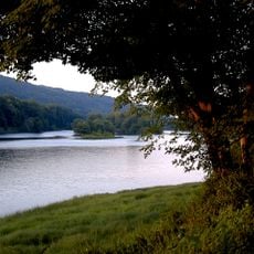
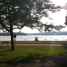
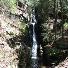
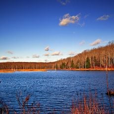
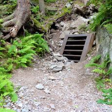
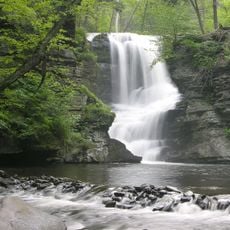
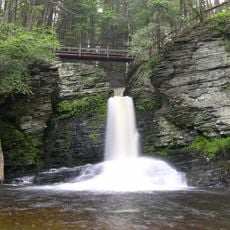
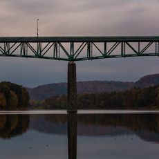
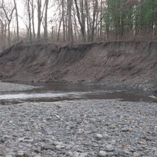
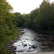
Delaware Water Gap National Recreation Area is a large protected area along the Delaware River between Pennsylvania and New Jersey. The land includes forests, meadows, and riverbanks with numerous trails, camping areas, and swimming spots.
The area was established in 1965 after a planned dam project was stopped before construction flooded the region. Choosing to protect the river valley instead of damming it preserved the landscape and local communities from transformation.
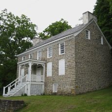
The area was long home to the Munsee, a Lenape people who lived here before European settlers arrived. Today, stories and sites throughout the region connect visitors to these early inhabitants and their relationship with the land.
Access is straightforward, with parking at main entry points and marked trails for different skill levels. Spring through fall is the best time to visit, when all trails and facilities are fully open.
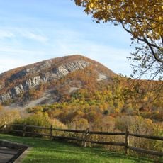
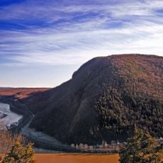
The Delaware Water Gap itself is a natural cut through the mountains where the river flows between two peaks, creating one of few passages through the Appalachians. This geological formation served as an important landmark for early travelers moving through the region.
Location: Pennsylvania
Inception: September 1, 1965
Operator: National Park Service
Address: 1978 River Road, Bushkill, PA 18324, USA
Phone: +5704262452
Website: https://nps.gov/dewa
GPS coordinates: 41.15381,-74.91388
Latest update: December 7, 2025 10:04
Blair Academy
19.3 km
Bushkill Falls
9 km
Grey Towers National Historic Site
20.8 km
Mount Tammany
26.3 km
Dingmans Falls
8.8 km
Stokes State Forest
10.3 km
Dingman's Ferry Bridge
8.7 km
Paulinskill Viaduct
26 km
Sunfish Pond
21.5 km
Delaware Water Gap Toll Bridge
27.1 km
Delaware River Viaduct
29 km
Worthington State Forest
23 km
Swartswood State Park
12 km
Mount Minsi
28.1 km
Siddhachalam
22.4 km
Silverthread Falls
8.8 km
Delaware State Forest
21.4 km
Pahaquarry Copper Mine
16 km
Fulmer Falls
9.3 kmSt. Paul's Abbey
18.4 km
Deer Leap Falls
9.2 km
Milford–Montague Toll Bridge
19.5 km
Minisink Archaeological Site
9.4 km
Flat Brook
6.8 km
Van Campen's Inn
2.2 km
Christ Church, Newton
17.2 km
Sussex County Courthouse
17.1 km
Marie Zimmermann Farm
11.9 kmVisited this place? Tap the stars to rate it and share your experience / photos with the community! Try now! You can cancel it anytime.
Discover hidden gems everywhere you go!
From secret cafés to breathtaking viewpoints, skip the crowded tourist spots and find places that match your style. Our app makes it easy with voice search, smart filtering, route optimization, and insider tips from travelers worldwide. Download now for the complete mobile experience.
A unique approach to discovering new places❞
— Le Figaro
All the places worth exploring❞
— France Info
A tailor-made excursion in just a few clicks❞
— 20 Minutes