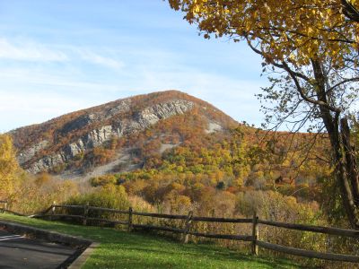
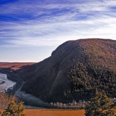
Mount Tammany, Summit in Delaware Water Gap, New Jersey, US.
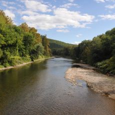
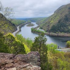
Mount Tammany is a summit rising 1,526 feet that forms the eastern wall of the Delaware Water Gap, where the Delaware River cuts through the Kittatinny Mountains. The mountain features different hiking routes with varying lengths and overlook points along its slopes.
The Lenni Lenape people lived in this region long before European settlement, and the mountain takes its name from their respected leader Tamanend. This connection to the area's early history remains part of the land today.
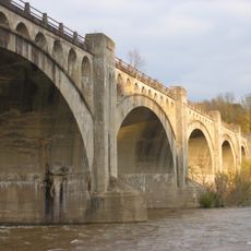
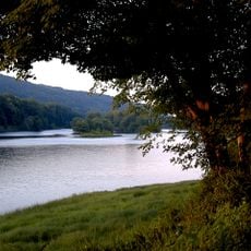
The mountain marks an important passage between two states, and the views from its slopes show how the Delaware River shaped the daily lives of those living nearby.
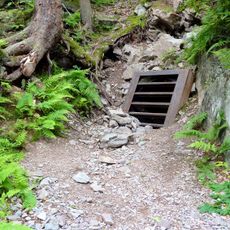
Two main hiking routes reach the summit: a 1.2-mile red-marked trail and a 1.8-mile blue-marked trail that combine into a 3-mile loop path. Plan for 2 to 3 hours for the round trip depending on your fitness level and which route you choose.
The mountain has several false summits, and the best panoramic views are actually found slightly below the actual highest point, where you can see both states. This surprising placement means you don't need to reach the very top to enjoy the most remarkable views.
The community of curious travelers
AroundUs brings together thousands of curated places, local tips, and hidden gems, enriched daily by 60,000 contributors worldwide.