Enable Location

We need your location to show you interesting places around you

Discover nearby places

Find interesting locations and hidden gems around you

Precise directions

Get accurate directions and distances to places

Your location is never shared with other users. It's only used when you tap the location button.

Giles County

Log in to your account

Start exploring — it's free

Trusted by 61,977 travelers worldwide

Continue with Google
Continue with Apple
or

We will send you a code to connect

By continuing, you accept our Terms and Conditions and our Privacy Policy

Check your inbox

We've sent a pincode in your inbox. Please enter the code below.

Giles County, Administrative division in Virginia, United States.

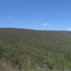
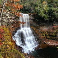
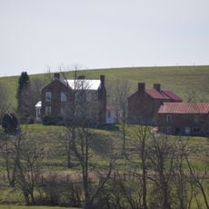
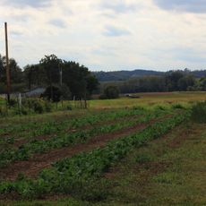
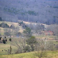
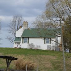
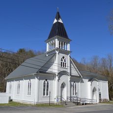
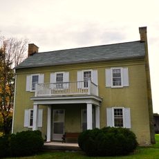
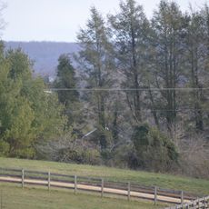
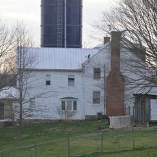
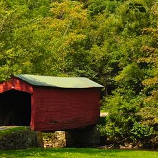
Giles County is an administrative division in Virginia's New River Valley, stretching across mountainous terrain with natural waterways running through it. The region includes five incorporated towns and various rural settlements distributed throughout this rolling landscape.

The county was established in 1806 when territories were separated from four neighboring counties and named after William Branch Giles. This creation reflected efforts to organize the growing settlement of Virginia's mountain regions.

The five incorporated towns preserve traditional handcraft techniques passed down through generations that shape local identity. Visitors can observe these practices in how people use and maintain their communities.

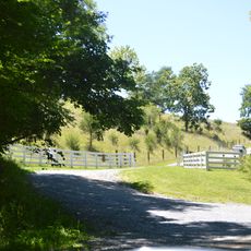
The region is best explored by car, as towns are spread across mountainous terrain and roads wind through valleys and over ridges. Plan for longer travel times between destinations, especially when venturing off main routes.

Mountain Lake sits within the county and is one of only two natural freshwater lakes in the entire state of Virginia. This rare body of water stands out as a notable geological feature amid the otherwise river-dominated landscape.

The community of curious travelers

AroundUs brings together thousands of curated places, local tips, and hidden gems, enriched daily by 60,000 contributors worldwide.

Start exploring
Location
Inception
1806
Capital city
Pearisburg
Shares border with
Summers County, Monroe County, Mercer County, Craig County, Montgomery County, Pulaski County, Bland County
GPS coordinates
37.32000,-80.70000
Latest update
December 20, 2025 15:58
Around this place
United States of America

Dismal Creek

19.3 km
Salt Pond Mountain
United States of America

Salt Pond Mountain

20.7 km
Cascades
United States of America

Cascades

10.7 km
Back Creek Farm
United States of America

Back Creek Farm

17.1 km
Kentland Farm Historic and Archeological District
United States of America

Kentland Farm Historic and Archeological District

18.2 km
Whitethorn
United States of America

Whitethorn

25.3 km
Andrew Johnston House
United States of America

Andrew Johnston House

3.3 km
Doe Creek Farm
United States of America

Doe Creek Farm

11 km
Rockwood
United States of America

Rockwood

22.9 km
Walker's Creek Presbyterian Church
United States of America

Walker's Creek Presbyterian Church

18.6 km
Giles County Courthouse
United States of America

Giles County Courthouse

3.2 km
New Dublin Presbyterian Church
United States of America

New Dublin Presbyterian Church

22.1 km
Evans House No. 2
United States of America

Evans House No. 2

23 km
Spring Dale (Dublin, Virginia)
United States of America

Spring Dale (Dublin, Virginia)

19 km
Narrows Commercial Historic District
United States of America

Narrows Commercial Historic District

9.9 km
Belle-Hampton
United States of America

Belle-Hampton

16 km
Prices Fork Historic District
United States of America

Prices Fork Historic District

22.2 km
John Hoge House
United States of America

John Hoge House

16.9 km
Joseph McDonald Farm
United States of America

Joseph McDonald Farm

22.6 km
Newport Historic District (Newport, Virginia)
United States of America

Newport Historic District (Newport, Virginia)

18.3 km
Greater Newport Rural Historic District
United States of America

Greater Newport Rural Historic District

15.3 km
Linkous-Kipps House
United States of America

Linkous-Kipps House

24.8 km
Michael Kinzer House
United States of America

Michael Kinzer House

23.4 km
Walnut Spring
United States of America

Walnut Spring

21.3 km
Adam Wall House
United States of America

Adam Wall House

24.1 km
Historic Smithfield

Historic Smithfield

26.3 km
Angels Rest Cluster
United States of America

Angels Rest Cluster

15.1 km
Link Farm Covered Bridge
United States of America

Link Farm Covered Bridge

16.2 km
Show the full map
« Giles County - Administrative division in Virginia, United States » is provided by Around Us (aroundus.com). Images and texts are derived from Wikimedia project under a Creative Commons license. You are allowed to copy, distribute, and modify copies of this page, under the conditions set by the license, as long as this note is clearly visible.

Discover hidden gems everywhere you go!

From secret cafés to breathtaking viewpoints, skip the crowded tourist spots and find places that match your style. Our app makes it easy with voice search, smart filtering, route optimization, and insider tips from travelers worldwide. Download now for the complete mobile experience.

Around Us App Screenshot

A unique approach to discovering new places

Le Figaro

All the places worth exploring

France Info

A tailor-made excursion in just a few clicks

20 Minutes

Around Us
Travel Guide & Maps
Download

Send to your phone

QR Code
1

Open the camera app on your mobile.

2

Point at the QR code with your camera. A notification will appear.

3

Tap the notification to open the link.