Mansfield, town in Connecticut, United States
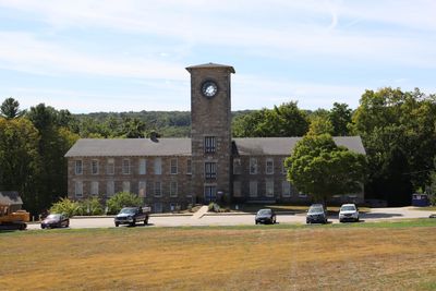
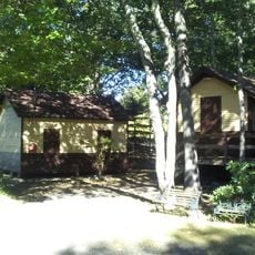
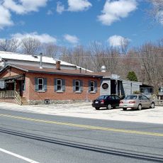
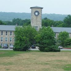
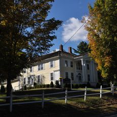
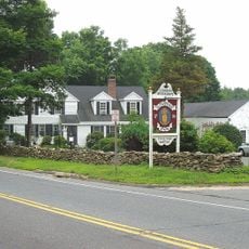
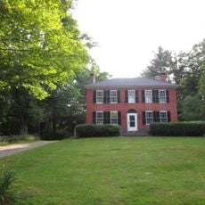
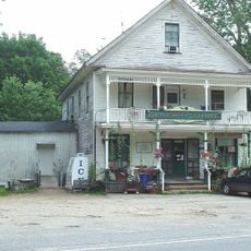
Mansfield is a town in Tolland County, Connecticut, featuring residential neighborhoods interspersed with green spaces and local commerce. The downtown area maintains a small-town character with traditional architecture and serves as the community hub.
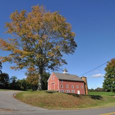
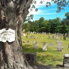
Mansfield was established in the 18th century as a rural settlement and gradually developed into a residential community. The town retained its rural character through much of its existence before experiencing growth in the modern era.
The town is accessible by car and features functioning local infrastructure with shops and services throughout. Visitors can navigate the area easily on foot in the downtown section and find parking available near the main areas.
The community of curious travelers
AroundUs brings together thousands of curated places, local tips, and hidden gems, enriched daily by 60,000 contributors worldwide.