Marshfield, city in Missouri, United States
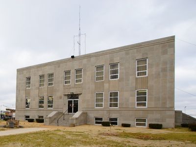
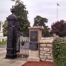
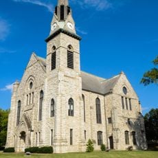
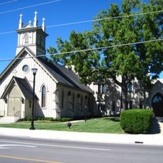
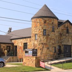
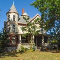
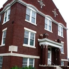
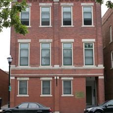
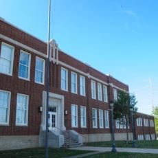
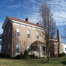
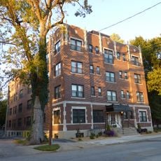
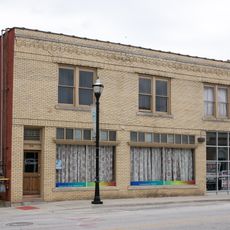
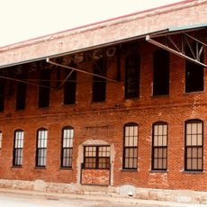
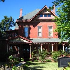
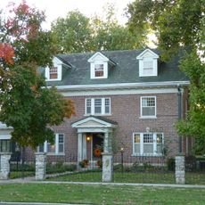
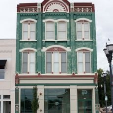
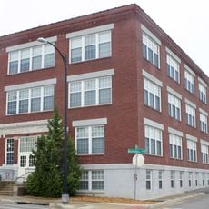
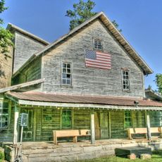
Marshfield is a small city in Webster County, Missouri, located in the central United States. The town features clean streets, well-maintained homes, and a mix of buildings from different eras, some dating back to the 1800s.
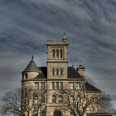
The city was founded in 1856 and named after Marshfield in Massachusetts, where politician Daniel Webster lived. The arrival of the railroad in the late 1800s boosted growth, but a severe tornado in 1880 caused significant damage.
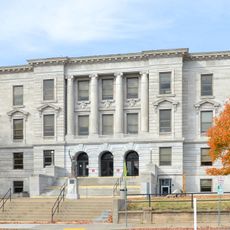
Marshfield honors astronomer Edwin Hubble, a native of the town, with a small replica of the Hubble Space Telescope displayed outside the courthouse. The Cherry Blossom Festival in spring brings neighbors together to celebrate local artisans, music, and regional food.
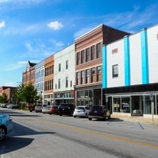
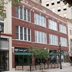
The city sits at the intersection of a popular bike trail and a historic highway, making it a good stopping point for travelers. The local library and parks offer quiet places to rest, and the downtown area is easy to explore on foot in half a day.
A notable feature is the Walk of Fame on the sidewalk near the county museum, a pavement with stars honoring notable Missourians. The Skyline Cafe, a building from 1931, recalls the Route 66 era and now serves as a restaurant where visitors can dine in a piece of living history.
The community of curious travelers
AroundUs brings together thousands of curated places, local tips, and hidden gems, enriched daily by 60,000 contributors worldwide.