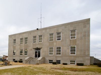
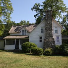
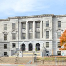
Webster County, County in southern Missouri, United States
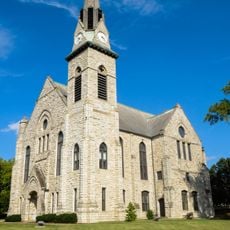
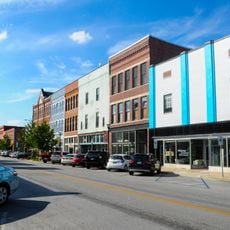
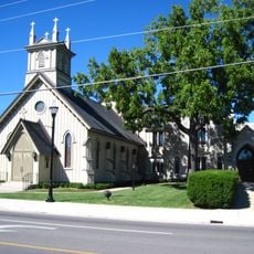
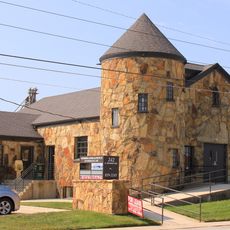
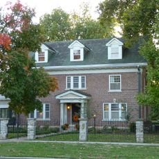
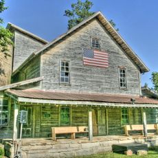
Webster County is an administrative division in southern Missouri with Marshfield as its county seat. The territory is crossed by several major roads and contains a mix of rural landscapes and small communities.
The area was established in 1855 and took its name in honor of Senator Daniel Webster. Settlers from Kentucky and Tennessee began moving into the region during the 1830s.
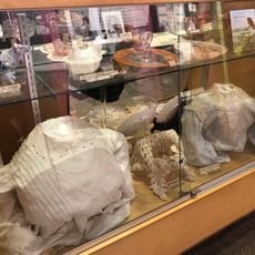
The county contains several earthen mounds built by Native Americans in ancient times. These structures are still visible today and remind visitors of the area's long history before European settlement.
Interstate 44, U.S. Route 60, and Missouri Route 38 cross through the area and connect it with neighboring regions. These main roads make it easy to reach and travel within the county.
A devastating tornado in 1880 nearly destroyed Marshfield, leaving only a handful of buildings standing. This catastrophic event shaped local memory and remains one of the most significant natural disasters in the area's past.
The community of curious travelers
AroundUs brings together thousands of curated places, local tips, and hidden gems, enriched daily by 60,000 contributors worldwide.