Chest opened
+${chestReward.xp} XP
Explorer
NOUVEAU ×${chestReward.collectible.quantity}
tapez pour fermer
Chest locked

Open chests in the app

Around Us is built for your phone — chests unlock when you walk, explore and capture nearby places.

Enable Location

We need your location to show you interesting places around you

Discover nearby places

Find interesting locations and hidden gems around you

Precise directions

Get accurate directions and distances to places

Your location is never shared with other users. It's only used when you tap the location button.

Log in to your account

Start exploring — it's free

Trusted by 72,886 travelers worldwide

Continue with Google
Continue with Apple
or

We will send you a code to connect

By continuing, you accept our Terms and Conditions and our Privacy Policy

Check your inbox

We've sent a pincode in your inbox. Please enter the code below.

Discussion Reviews Photo
10.4k Popularity

Teays Valley, Census-designated place in Putnam County, West Virginia, United States.

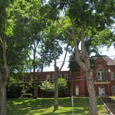
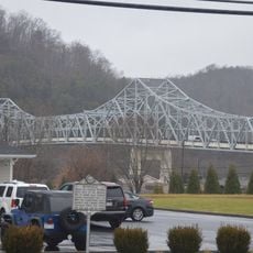
Teays Valley is a census-designated place in Putnam County, West Virginia, composed of two main districts: Teays and Scott. The area sits roughly midway between the Huntington and Charleston metropolitan regions and is shaped by several small creeks that feed into larger river systems.

The settlement received its name from Thomas Teays, an early hunter and trapper who explored the region during West Virginia's pioneer era. It later developed as a community shaped by its location between two major industrial cities that drew settlers to the area.

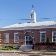
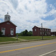
The area takes its name from Thomas Teays, an early hunter and trapper whose legacy is woven into the local identity. The two main districts of Teays and Scott each developed their own character and serve as focal points for neighborhood life and community activities.

The location provides direct access to major highways that quickly connect travelers to Charleston or Huntington, making it convenient to visit either city. The flat to gently rolling terrain makes navigation straightforward and easy to get around.

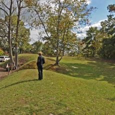
Geologist William G. Tight identified the area as part of an ancient river system no longer active today, yet its traces remain visible in the landscape. The multiple small creeks flowing through the region still follow pathways once carved by that prehistoric river.

The community of curious travelers

AroundUs brings together thousands of curated places, local tips, and hidden gems, enriched daily by 60,000 contributors worldwide.

Start exploring
Location
Elevation above the sea
203 m
GPS coordinates
38.44722,-81.93722
Latest update
December 10, 2025 15:54
Around this place
Criel Mound
United States of America

Criel Mound

22.7 km
United States of America

Mardi Gras Casino and Resort

11.5 km
Gen. John McCausland House
United States of America

Gen. John McCausland House

23.6 km
Mud River Covered Bridge
United States of America

Mud River Covered Bridge

17.7 km
Edgewood Historic District
United States of America

Edgewood Historic District

27 km
Canty House
United States of America

Canty House

16.8 km
Lincoln National Bank
United States of America

Lincoln National Bank

24.1 km
Chilton House
United States of America

Chilton House

10.8 km
Charleston Railroad Bridge‎
United States of America

Charleston Railroad Bridge‎

25.8 km
Fort Scammon
United States of America

Fort Scammon

26.8 km
William E. Mohler House
United States of America

William E. Mohler House

11.2 km
Putnam County Courthouse
United States of America

Putnam County Courthouse

10.4 km
St. Albans Post Office
United States of America

St. Albans Post Office

11.1 km
Holley Hills Estate
United States of America

Holley Hills Estate

25 km
The Beeches
United States of America

The Beeches

11.8 km
East Hall
United States of America

East Hall

16.6 km
Luna Park Historic District
United States of America

Luna Park Historic District

26.6 km
St. Albans Main Street Historic District
United States of America

St. Albans Main Street Historic District

11.1 km
James W. Hoge House
United States of America

James W. Hoge House

10.4 km
Littlepage Stone Mansion
United States of America

Littlepage Stone Mansion

24.9 km
Asbury House
United States of America

Asbury House

7.3 km
Laidley-Summers-Quarrier House
United States of America

Laidley-Summers-Quarrier House

26.5 km
Bank of St. Albans Building
United States of America

Bank of St. Albans Building

10.9 km
Hurricane Splash Park
United States of America

Hurricane Splash Park

4 km
Winfield Toll Bridge
United States of America

Winfield Toll Bridge

10.3 km
James Weimer House
United States of America

James Weimer House

11.4 km
Buffalo Town Square Historic District
United States of America

Buffalo Town Square Historic District

19.4 km
McAndrews-Gallaher House
United States of America

McAndrews-Gallaher House

27.6 km
Show the full map
Reviews
Share your experience

No review yet

Discussions
Start a discussion...

No discussion yet

« Teays Valley - Census-designated place in Putnam County, West Virginia, United States » is provided by Around Us (aroundus.com). Images and texts are derived from Wikimedia project under a Creative Commons license. You are allowed to copy, distribute, and modify copies of this page, under the conditions set by the license, as long as this note is clearly visible.

Discover hidden gems everywhere you go!

From secret cafés to breathtaking viewpoints, skip the crowded tourist spots and find places that match your style. Our app makes it easy with voice search, smart filtering, route optimization, and insider tips from travelers worldwide. Download now for the complete mobile experience.

Around Us App Screenshot

A unique approach to discovering new places

Le Figaro

All the places worth exploring

France Info

A tailor-made excursion in just a few clicks

20 Minutes

Around Us
Travel Guide & Maps
Download

Send to your phone

QR Code
1

Open the camera app on your mobile.

2

Point at the QR code with your camera. A notification will appear.

3

Tap the notification to open the link.