Enable Location

We need your location to show you interesting places around you

Discover nearby places

Find interesting locations and hidden gems around you

Precise directions

Get accurate directions and distances to places

Your location is never shared with other users. It's only used when you tap the location button.

Sayreville

Log in to your account

Start exploring — it's free

Trusted by 61,987 travelers worldwide

Continue with Google
Continue with Apple
or

We will send you a code to connect

By continuing, you accept our Terms and Conditions and our Privacy Policy

Check your inbox

We've sent a pincode in your inbox. Please enter the code below.

Sayreville, Administrative borough in Middlesex County, New Jersey, United States

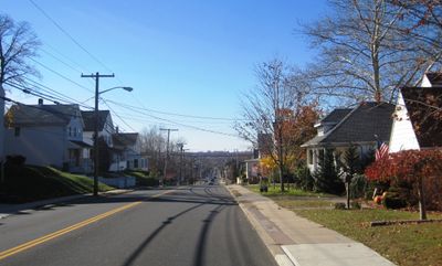
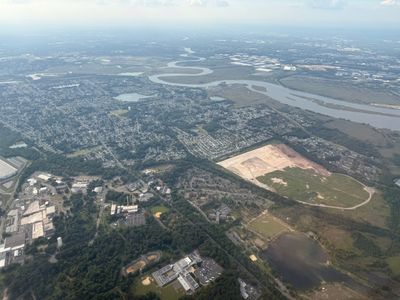
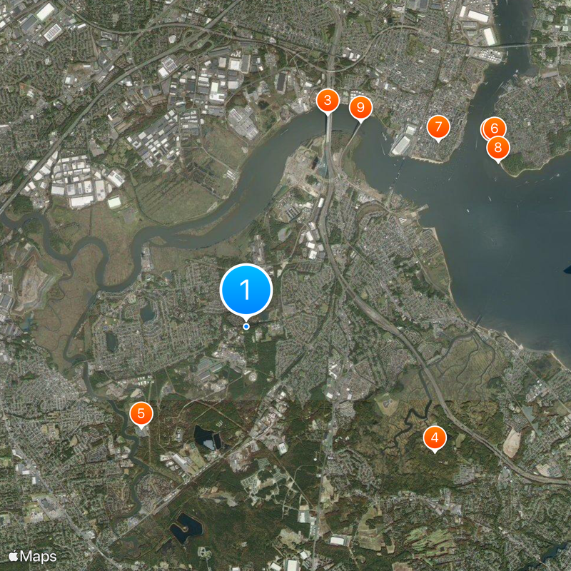
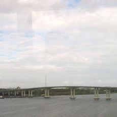
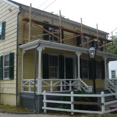
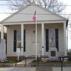
Sayreville is an administrative borough in Middlesex County that sits along the Raritan River and covers multiple neighborhoods. The area combines residential blocks, shopping districts, and open green spaces where people live and work.

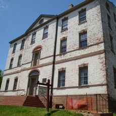
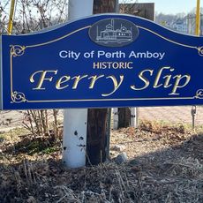
The settlement started as Roundabout, then became Wood's Landing before receiving its current name in the 1860s to honor industrialist James R. Sayre Jr. This renaming reflected the community's growth and commercial development during that period.

The Starland Ballroom draws regional and touring bands, serving as a gathering place where people come to see live music. This venue shapes how locals and visitors spend their entertainment time in central New Jersey.

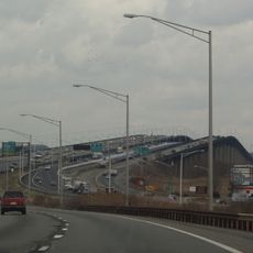
NJ Transit runs bus services that connect Sayreville to New York City with stops throughout the borough. Public transportation makes it simple for visitors to get around the area and reach neighboring communities.

A major explosion at the Gillespie Shell Loading Plant in 1918 led authorities to declare martial law over the area. This event remains one of the state's worst industrial disasters and is often forgotten by those passing through today.

The community of curious travelers

AroundUs brings together thousands of curated places, local tips, and hidden gems, enriched daily by 60,000 contributors worldwide.

Start exploring
Location
Elevation above the sea
7 m
Shares border with
Woodbridge Township, Perth Amboy, South Amboy, Old Bridge Township, East Brunswick, South River, Edison
GPS coordinates
40.46250,-74.32500
Latest update
December 14, 2025 19:43
Around this place
Conference House
United States of America

Conference House

7.5 km
Driscoll Bridge
United States of America

Driscoll Bridge

5.6 km
Cheesequake State Park
United States of America

Cheesequake State Park

5.6 km
Starland Ballroom
United States of America

Starland Ballroom

3.6 km
United States of America

Conference House Park

7.6 km
Proprietary House
United States of America

Proprietary House

6.6 km
United States of America

Burial Ridge

7.4 km
Victory Bridge
United States of America

Victory Bridge

5.8 km
Edison Bridge
United States of America

Edison Bridge

5.6 km
Ward's Point
United States of America

Ward's Point

7.4 km
Perth Amboy Ferry Slip
United States of America

Perth Amboy Ferry Slip

7.3 km
Raritan Bay Drawbridge
United States of America

Raritan Bay Drawbridge

5.3 km
Perth Amboy City Hall
United States of America

Perth Amboy City Hall

7 km
Great Beds Light
United States of America

Great Beds Light

6.7 km
St. Peter's Episcopal Church
United States of America

St. Peter's Episcopal Church

6.8 km
Sayre & Fisher Reading Room
United States of America

Sayre & Fisher Reading Room

2.7 km
St. Euphrosynia Belarusian Orthodox Church
United States of America

St. Euphrosynia Belarusian Orthodox Church

4.2 km
United States of America

Morgan Draw

5.5 km
Kearny Cottage
United States of America

Kearny Cottage

7 km
Old School Baptist Church and Cemetery
United States of America

Old School Baptist Church and Cemetery

5 km
Памятник «Борцам за свободную Беларусь»
United States of America

Памятник «Борцам за свободную Беларусь»

4.3 km
Laurence Harbor Beach
United States of America

Laurence Harbor Beach

6.8 km
Perth Amboy Ferry Slip
United States of America

Perth Amboy Ferry Slip

7.3 km
Hooks Creek Lake Beach
United States of America

Hooks Creek Lake Beach

5.3 km
United States of America

Capitol Theatre

5.1 km
United States of America

Cinema 9

2.3 km
United States of America

Amboy Multiplex Cinemas

4.1 km
United States of America

Majestic Theatre

6.9 km
Show the full map
« Sayreville - Administrative borough in Middlesex County, New Jersey, United States » is provided by Around Us (aroundus.com). Images and texts are derived from Wikimedia project under a Creative Commons license. You are allowed to copy, distribute, and modify copies of this page, under the conditions set by the license, as long as this note is clearly visible.

Discover hidden gems everywhere you go!

From secret cafés to breathtaking viewpoints, skip the crowded tourist spots and find places that match your style. Our app makes it easy with voice search, smart filtering, route optimization, and insider tips from travelers worldwide. Download now for the complete mobile experience.

Around Us App Screenshot

A unique approach to discovering new places

Le Figaro

All the places worth exploring

France Info

A tailor-made excursion in just a few clicks

20 Minutes

Around Us
Travel Guide & Maps
Download

Send to your phone

QR Code
1

Open the camera app on your mobile.

2

Point at the QR code with your camera. A notification will appear.

3

Tap the notification to open the link.