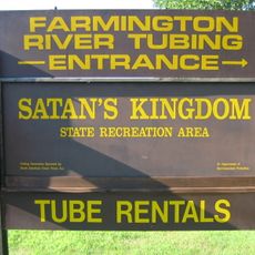
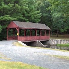
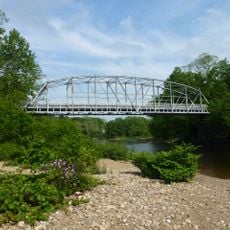
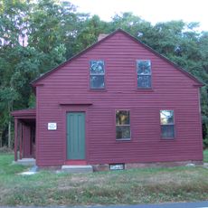
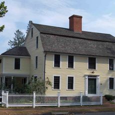
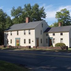
Canton, town in Connecticut, United States
Location: Capitol Planning Region
Location: Hartford County
Inception: 1806
Elevation above the sea: 121 m
Website: http://www.townofcantonct.org/
Website: http://townofcantonct.org
GPS coordinates: 41.86167,-72.90917
Latest update: April 4, 2025 01:31
Heublein Tower
10 km
Satan's Kingdom State Recreation Area
4 km
Peoples State Forest
7.5 km
Amos Eno House
8.9 km
Pine Meadow Historic District
5.1 km
Nepaug State Forest
4.8 km
Stratton Brook State Park
6.1 km
Town Bridge
4.4 km
Canton Center Historic District
720 m
Drake Hill Road Bridge
9.1 km
Horse Guard State Park
7.8 km
Simsbury Center Historic District
8.9 km
Capt. Elisha Phelps House
9.1 km
Avon Congregational Church
8.7 km
Sun Terrace
8.7 km
Terry's Plain Historic District
10.6 km
Barkhamsted Center Historic District
8.9 km
Philip Chapin House
5.2 km
Simsbury Bank and Trust Company Building
9 km
Peoples State Forest Nature Museum
10.2 km
Robert and Julia Darling House
8.9 km
East Weatogue Historic District
9.2 km
Simsbury Townhouse
8.7 km
John Humphrey House
9.4 km
Gillette's Grist Mill
9.9 km
Horace Belden School and Central Grammar School
9 km
Esperanza
7.7 km
Massaco Forest Pavilion
6.1 kmReviews
Visited this place? Tap the stars to rate it and share your experience / photos with the community! Try now! You can cancel it anytime.
Discover hidden gems everywhere you go!
From secret cafés to breathtaking viewpoints, skip the crowded tourist spots and find places that match your style. Our app makes it easy with voice search, smart filtering, route optimization, and insider tips from travelers worldwide. Download now for the complete mobile experience.
A unique approach to discovering new places❞
— Le Figaro
All the places worth exploring❞
— France Info
A tailor-made excursion in just a few clicks❞
— 20 Minutes