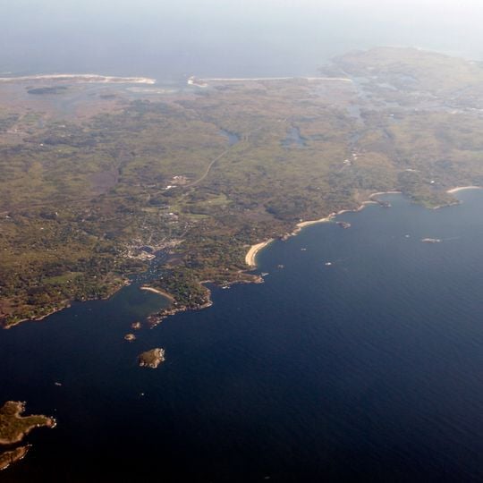
Cape Ann, Rocky promontory in Essex County, Massachusetts.
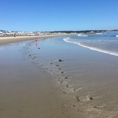
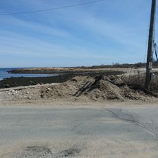
Cape Ann is a rocky peninsula about 30 miles northeast of Boston, marking the northern limit of Massachusetts Bay. It includes Gloucester, Essex, Manchester-by-the-Sea and Rockport. The Annisquam River, made navigable by the Blynman Canal, separates Gloucester into two parts, and locals call the land east of it "The Island". The coast has inlets, coves, sandy stretches and rocky outcrops offshore.
French explorer Samuel de Champlain arrived in 1606 and first called the harbor le Beau port, a name later changed by King Charles I. The region then developed into a major fishing center that shaped its character for centuries to come.
The name Cape Ann honours Anne of Denmark, mother of King Charles I, one of only four of his renamings that survive. Gloucester remains a working fishing port, and the Rocky Neck Art Colony, active since the 19th century, still hosts galleries. Fitz Henry Lane began in Gloucester as a lithographer before developing his luminist marine paintings, held at the Cape Ann Museum.
The area is best explored on foot or by car, with scenic walking trails and overlooks accessible along the rocks and harbors. Weather can be changeable, particularly in cooler months, so dressing in layers is advisable for any visit.
Norman's Woe is a treacherous reef off the eastern shore that became famous through Henry Wadsworth Longfellow's poem The Wreck of the Hesperus. This rocky formation inspired one of America's most beloved poems and draws visitors interested in the story behind the verse.
The community of curious travelers
AroundUs brings together thousands of curated places, local tips, and hidden gems, enriched daily by 94,656 contributors worldwide.