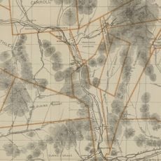
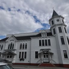
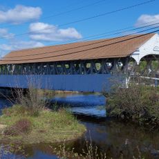
Lancaster, town in New Hampshire, United States
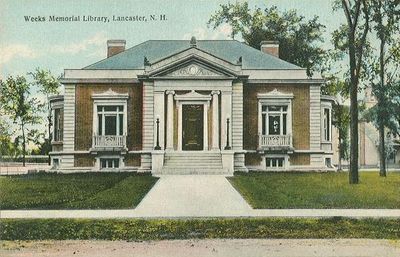
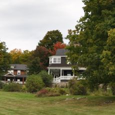
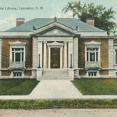
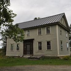
Lancaster is a town located in Coös County in northern New Hampshire. It serves as an administrative center for the surrounding rural area and provides basic services and businesses for its residents and visitors.
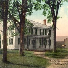
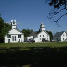
The town was founded during the 18th century as European settlers moved into the New Hampshire region. It grew from a small settlement into a local center for trade and administration.
Lancaster takes its name from Lancaster in England and was established as a settlement by early colonists in the region. The name reflects the English origins of the area and remains part of the town's identity today.
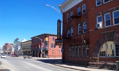
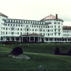
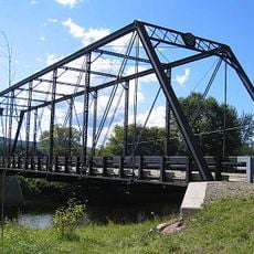
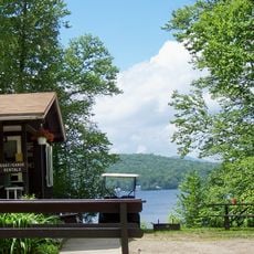
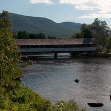
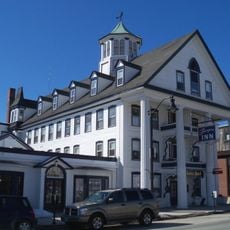
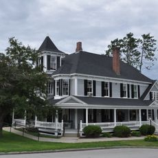
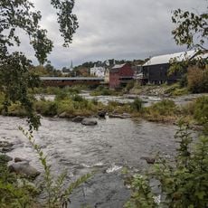
Lancaster offers basic amenities such as shops, restaurants, and lodging options for travelers exploring the northern region. The town is easily accessible by road and serves as a practical base for visiting the surrounding natural areas.
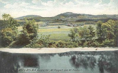
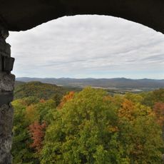
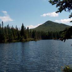
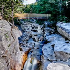
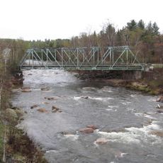
Lancaster is one of the northernmost substantial communities in New Hampshire and borders directly with Vermont. This location makes the town an interesting point from which to explore both states and their different landscapes.
The community of curious travelers
AroundUs brings together thousands of curated places, local tips, and hidden gems, enriched daily by 60,000 contributors worldwide.