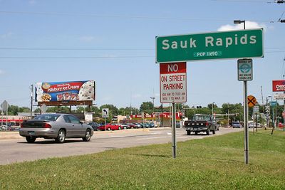
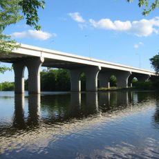
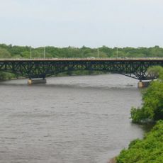
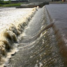
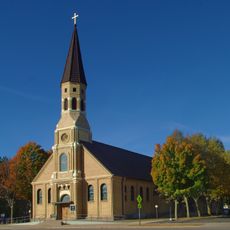
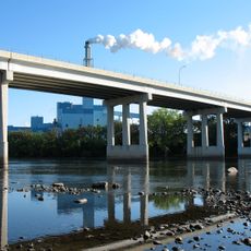
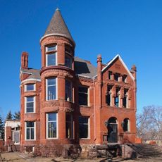
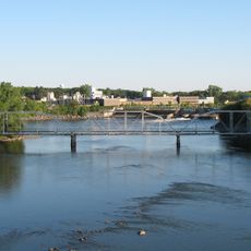
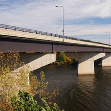
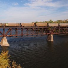
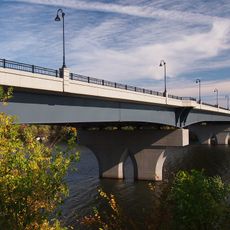
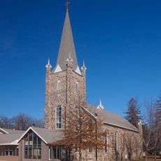
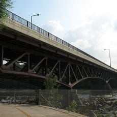
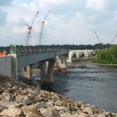
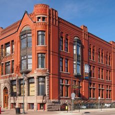
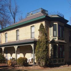
Sauk Rapids, city in Minnesota, United States
Location: Benton County
Inception: 1851
Elevation above the sea: 315 m
Website: http://ci.sauk-rapids.mn.us
GPS coordinates: 45.59278,-94.16389
Latest update: May 2, 2025 22:50
Minnesota Correctional Facility – St. Cloud
6.6 km
Bridge of Hope
2 km
Munsinger Gardens and Clemens Gardens
5 km
Saint Benedict's Monastery
12.5 km
Cathedral of Saint Mary
3.8 km
DeSoto Bridge
3.6 km
St. Cloud Dam
5.2 km
Church of St. Joseph-Catholic
12.5 km
Church of St. Stephen-Catholic
14.9 km
Sartell Bridge
3.9 km
Foley–Brower–Bohmer House
4.1 km
Old Sartell Bridge
4.2 km
Veterans Bridge
3.4 km
Riverview Hall
4.8 km
St. Cloud Rail Bridge
3.3 km
Granite City Crossing
3.6 km
Church of St. Mary Help of Christians-Catholic
12.6 km
Sauk Rapids Bridge
830 m
Sauk Rapids Regional Bridge
706 m
First National Bank
3.5 km
John N. Bensen House
4.2 km
Chancery House
3.7 km
Michael Majerus House
4.1 km
First State Bank
12.5 km
Francis Arnold House
1 km
Nehemiah P. Clarke House
3.9 km
Fifth Avenue Commercial Buildings
3.6 km
Summerland
4.9 kmReviews
Visited this place? Tap the stars to rate it and share your experience / photos with the community! Try now! You can cancel it anytime.
Discover hidden gems everywhere you go!
From secret cafés to breathtaking viewpoints, skip the crowded tourist spots and find places that match your style. Our app makes it easy with voice search, smart filtering, route optimization, and insider tips from travelers worldwide. Download now for the complete mobile experience.
A unique approach to discovering new places❞
— Le Figaro
All the places worth exploring❞
— France Info
A tailor-made excursion in just a few clicks❞
— 20 Minutes