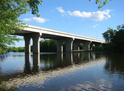
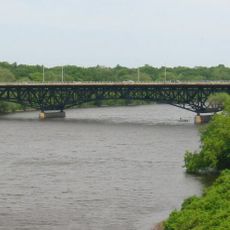
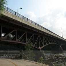
Bridge of Hope, Road bridge across Mississippi River between Sartell and Sauk Rapids, United States.
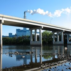
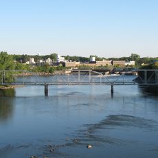
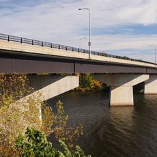
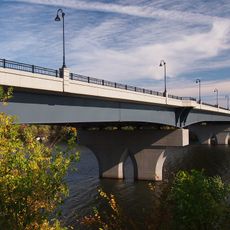
The Bridge of Hope is a concrete road bridge that crosses the Mississippi River between Sartell and Sauk Rapids in Minnesota. It carries four traffic lanes and has dedicated pedestrian walkways on each side, allowing both vehicles and people on foot to cross.
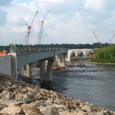
The bridge was built in 1995 by the Minnesota Department of Transportation together with the Jim Hill Group, replacing an older crossing between the two towns. The project finished eight months ahead of the planned schedule.
Local high school students chose the name to honor Jacob Wetterling, a child from the region who was abducted in 1989 and whose case moved the entire country. Walking across the bridge, many locals still feel the weight of that memory in the name.
The bridge can be crossed on foot or by car, with the pedestrian walkways clearly separated from the road lanes. As it sits on a main route between the two towns, traffic tends to be heavier during rush hours.
Parts of the bridge were built below the river's surface and next to active railway tracks, making the construction far more demanding than a typical bridge project. Despite those conditions, the work was still wrapped up ahead of schedule.
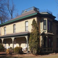
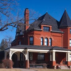
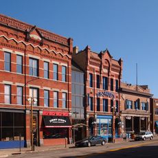
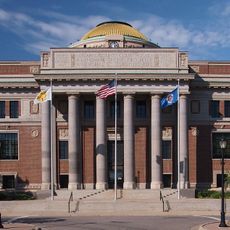
The community of curious travelers
AroundUs brings together thousands of curated places, local tips, and hidden gems, enriched daily by 60,000 contributors worldwide.