Colchester, town in New London County, Connecticut, United States
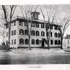
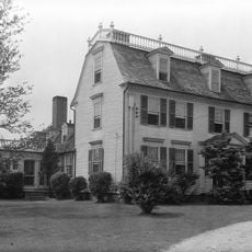
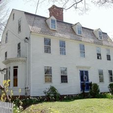
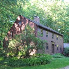
Colchester is a small town in southeastern Connecticut with a quiet, friendly character and numerous historic buildings dating from the 1700s and 1800s. The center revolves around a town green surrounded by old houses, shops, and churches, while parks, farms, and rivers shape the surrounding landscape.
The town was founded in the late 1600s and officially became part of Connecticut in 1699, growing around a central green. Over centuries, farms, mills, and local trades shaped its development into the rural community it is today.
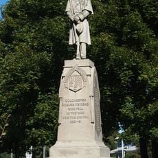
The town green serves as the heart of community life, hosting events where residents and visitors gather for summer concerts, holiday festivals, and farmers markets. These gatherings reflect how Colchester's people value shared spaces and local traditions.
The town green is easily accessible by foot with nearby parking, and visiting on weekends during local events offers the best experience. Most historic buildings and parks are free to enter, with well-maintained paths suitable for all skill levels.
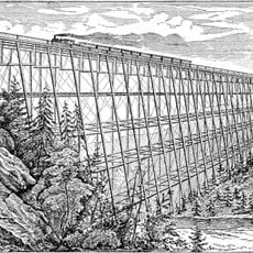
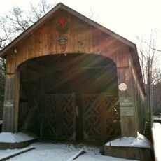
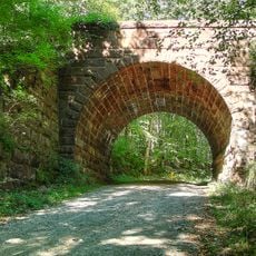
Comstock Bridge is one of only three remaining covered bridges in Connecticut, built in 1840 to cross the Salmon River. Walking across this wooden structure offers a rare glimpse into 19th-century transportation and the river landscape below.
The community of curious travelers
AroundUs brings together thousands of curated places, local tips, and hidden gems, enriched daily by 60,000 contributors worldwide.