Chest opened
+${chestReward.xp} XP
Explorer
NOUVEAU ×${chestReward.collectible.quantity}
tapez pour fermer
Chest locked

Open chests in the app

Around Us is built for your phone — chests unlock when you walk, explore and capture nearby places.

Enable Location

We need your location to show you interesting places around you

Discover nearby places

Find interesting locations and hidden gems around you

Precise directions

Get accurate directions and distances to places

Your location is never shared with other users. It's only used when you tap the location button.

Williamstown

Log in to your account

Start exploring — it's free

Trusted by 72,882 travelers worldwide

Continue with Google
Continue with Apple
or

We will send you a code to connect

By continuing, you accept our Terms and Conditions and our Privacy Policy

Check your inbox

We've sent a pincode in your inbox. Please enter the code below.

Discussion Reviews 1 Photos
17.5k Popularity

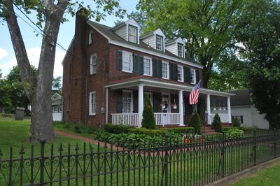
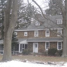
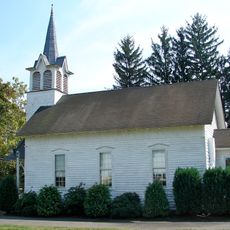
Williamstown, Census-designated place in Monroe Township, New Jersey, US.

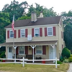
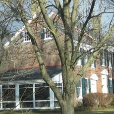
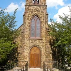
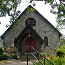
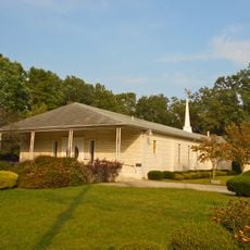
Williamstown is a developed suburban community located in Monroe Township, Gloucester County, New Jersey. The area features typical residential neighborhoods with local schools and community services spread throughout.

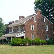
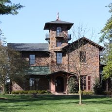
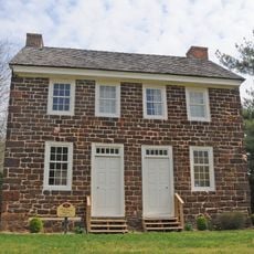
The settlement was established in 1737 as part of the colonial expansion of Gloucester County. It later grew into a modern residential community with schools and infrastructure serving the area.

The Monroe Township Public Schools system integrates special education programs through regular Special Education Parent Advisory Group meetings at the Media Center.

The area has an elementary school and other public services available to residents. It is managed by local authorities and offers standard municipal services to the community.

The municipality conducted a lead service line inventory and implemented rehabilitation projects for sanitary sewer mains using cured-in-place pipe technology.

The community of curious travelers

AroundUs brings together thousands of curated places, local tips, and hidden gems, enriched daily by 60,000 contributors worldwide.

Start exploring
Location
Inception
1737
Elevation above the sea
43 m
GPS coordinates
39.68410,-74.96880
Latest update
December 7, 2025 19:24
Around this place
St. Padre Pio Shrine
United States of America

St. Padre Pio Shrine

16.9 km
Clementon Amusement Park
United States of America

Clementon Amusement Park

13.3 km
Sahara Sam's Oasis
United States of America

Sahara Sam's Oasis

15.1 km
Diggerland USA
United States of America

Diggerland USA

14.8 km
Pitman Grove
United States of America

Pitman Grove

15 km
Gabreil Daveis Tavern House
United States of America

Gabreil Daveis Tavern House

18.8 km
Hell Cat
United States of America

Hell Cat

13.2 km
Jack Rabbit
United States of America

Jack Rabbit

13.4 km
Whitney Mansion
United States of America

Whitney Mansion

13 km
Chew-Powell House
United States of America

Chew-Powell House

16.4 km
Tall Pines State Preserve
United States of America

Tall Pines State Preserve

18.1 km
Holy Virgin Protection Orthodox Church, Buena
United States of America

Holy Virgin Protection Orthodox Church, Buena

17.2 km
Solomon Wesley United Methodist Church
United States of America

Solomon Wesley United Methodist Church

13.8 km
Jesse Chew House
United States of America

Jesse Chew House

18.4 km
Dennisville Historic District
United States of America

Dennisville Historic District

17.3 km
George Jr. and Sarah Morgan House
United States of America

George Jr. and Sarah Morgan House

14.9 km
Glendale Methodist Episcopal Church
United States of America

Glendale Methodist Episcopal Church

18.9 km
Benjamin Clark House
United States of America

Benjamin Clark House

18.3 km
St. Thomas Episcopal Church
United States of America

St. Thomas Episcopal Church

12.4 km
St. John's Episcopal Church and Burying Ground
United States of America

St. John's Episcopal Church and Burying Ground

18.4 km
Grant A.M.E. Church
United States of America

Grant A.M.E. Church

9.5 km
Jacobus Evangelical Lutheran Church
United States of America

Jacobus Evangelical Lutheran Church

13.5 km
Free Library and Reading Room-Williamstown Memorial Library
United States of America

Free Library and Reading Room-Williamstown Memorial Library

2 km
Richwood Methodist Church
United States of America

Richwood Methodist Church

17.5 km
Hall Street School
United States of America

Hall Street School

1.9 km
Downer Methodist Episcopal Church
United States of America

Downer Methodist Episcopal Church

7.2 km
Funcity Adventure Park
United States of America

Funcity Adventure Park

10.1 km
Broadway Theatre
United States of America

Broadway Theatre

14.9 km
Show the full map
Reviews
Share your experience

No review yet

Discussions
Start a discussion...

No discussion yet

« Williamstown - Census-designated place in Monroe Township, New Jersey, US » is provided by Around Us (aroundus.com). Images and texts are derived from Wikimedia project under a Creative Commons license. You are allowed to copy, distribute, and modify copies of this page, under the conditions set by the license, as long as this note is clearly visible.

Discover hidden gems everywhere you go!

From secret cafés to breathtaking viewpoints, skip the crowded tourist spots and find places that match your style. Our app makes it easy with voice search, smart filtering, route optimization, and insider tips from travelers worldwide. Download now for the complete mobile experience.

Around Us App Screenshot

A unique approach to discovering new places

Le Figaro

All the places worth exploring

France Info

A tailor-made excursion in just a few clicks

20 Minutes

Around Us
Travel Guide & Maps
Download

Send to your phone

QR Code
1

Open the camera app on your mobile.

2

Point at the QR code with your camera. A notification will appear.

3

Tap the notification to open the link.