
Franklin Park, borough of Pennsylvania
Location: Allegheny County
Inception: August 10, 1861
Elevation above the sea: 384 m
Website: http://www.franklinparkborough.us/
Website: http://franklinparkborough.us
GPS coordinates: 40.59060,-80.09190
Latest update: May 10, 2025 02:44
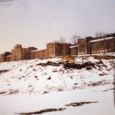
Dixmont State Hospital
8.5 km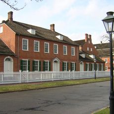
Old Economy Village
11.9 km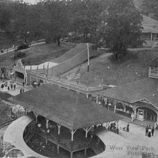
West View Park
9.6 km
Legionville
12 km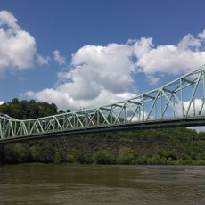
Sewickley Bridge
10.3 km
Wilpen Hall
6.9 km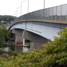
Coraopolis Bridge
9.7 km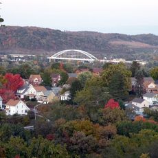
Neville Island Bridge
9.3 km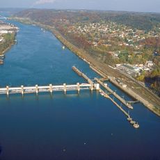
Emsworth Locks and Dam
9.7 km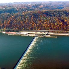
Dashields Locks and Dam
10.5 km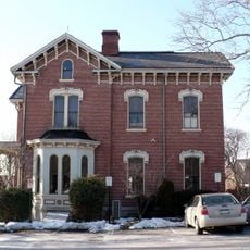
Andrew Bayne Memorial Library
11 km
Davis Island Lock and Dam Site
11.1 km
Elmridge
10 km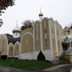
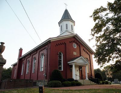
St. Alexander Nevsky Cathedral, Allison Park
8.5 km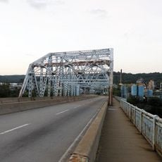
Fleming Park Bridge
11.1 km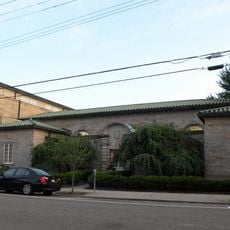
Sewickley Public Library
9.5 km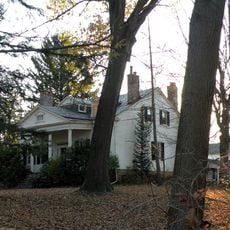
Isaac Lightner House
11.7 km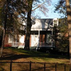
Nicholas Way House
9.5 km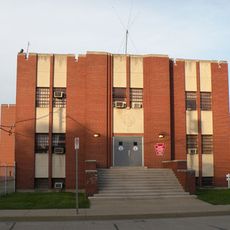
Coraopolis Armory
10.3 km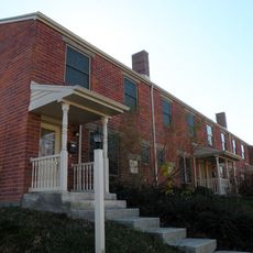
Mooncrest Historic District
11.1 km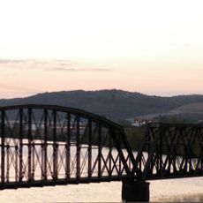
PC&Y Railroad Bridge
11 km
Davis Island
11.3 km
899 Old Thorn Run Road
12.1 km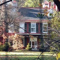
David Shields House
9.9 km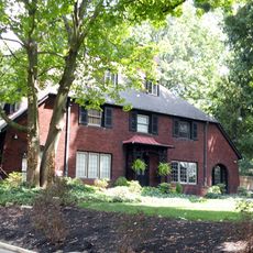
George J. Schmitt House
9.5 km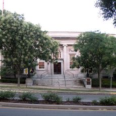
United States Post Office-Sewickley Branch
9.8 km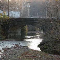
Bridge in Shaler Township
12.1 km
Arthurs-Johnson House
9.8 kmReviews
Visited this place? Tap the stars to rate it and share your experience / photos with the community! Try now! You can cancel it anytime.
Discover hidden gems everywhere you go!
From secret cafés to breathtaking viewpoints, skip the crowded tourist spots and find places that match your style. Our app makes it easy with voice search, smart filtering, route optimization, and insider tips from travelers worldwide. Download now for the complete mobile experience.

A unique approach to discovering new places❞
— Le Figaro
All the places worth exploring❞
— France Info
A tailor-made excursion in just a few clicks❞
— 20 Minutes