Vandergrift, borough of Pennsylvania
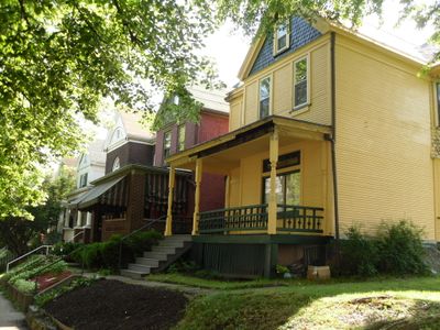
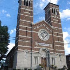
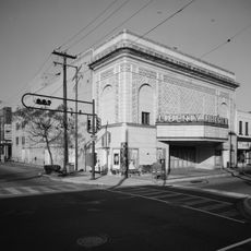
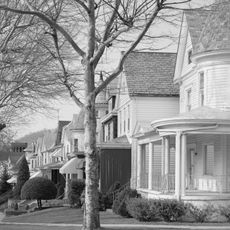
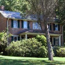
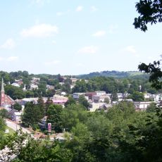
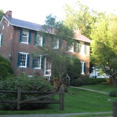
Vandergrift is a small borough in Westmoreland County, Pennsylvania, with tidy brick houses, quiet streets, and small parks where families gather. Downtown features an old theater, a library, a post office with historic murals, and remaining shops that reflect the town's early 20th century character.
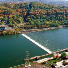
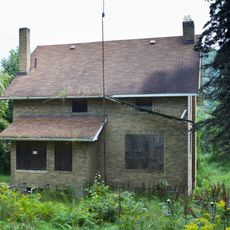
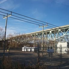
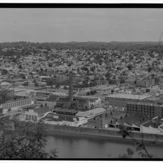
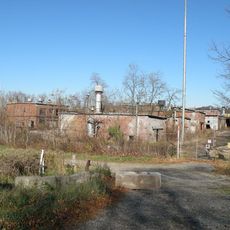
Vandergrift was founded in 1895 by the Apollo Iron and Steel Company to house workers, designed by renowned landscape architects following European reform ideals. In its early years, the town became a major center for steel sheet production before the industry declined in later decades.
Vandergrift hosts several festivals throughout the year, including an Italian celebration in September with food, music, and dancing that brings neighbors together. Local churches and community groups organize events that keep residents connected, showing how much people value their shared history and traditions.
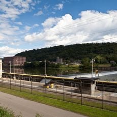
The town is located about 30 km northeast of Pittsburgh and is easily reached by car or local buses connecting to nearby towns. Downtown is compact enough to walk, parking is simple, and most attractions like shops, the theater, and parks are within walking distance.
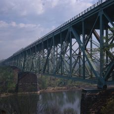
The town was used as a filming location for a science fiction movie, which surprised many visitors, and contains over 600 historic buildings listed on the National Register of Historic Places. The theater, built in 1900, was part of the vaudeville circuit and still hosts shows and events in the old-fashioned way.
The community of curious travelers
AroundUs brings together thousands of curated places, local tips, and hidden gems, enriched daily by 60,000 contributors worldwide.