Enable Location

We need your location to show you interesting places around you

Discover nearby places

Find interesting locations and hidden gems around you

Precise directions

Get accurate directions and distances to places

Your location is never shared with other users. It's only used when you tap the location button.

Marinette County

Log in to your account

Start exploring — it's free

Trusted by 62,937 travelers worldwide

Continue with Google
Continue with Apple
or

We will send you a code to connect

By continuing, you accept our Terms and Conditions and our Privacy Policy

Check your inbox

We've sent a pincode in your inbox. Please enter the code below.

Discussion Reviews 1 Photos
14.1k Popularity

Marinette County, Administrative division in northeastern Wisconsin, United States.

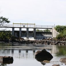
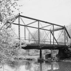
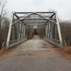
Marinette County is an administrative division in northeastern Wisconsin encompassing forests, rivers, and waterfront areas. The region is characterized by two major rivers that flow through heavily forested terrain and shape the landscape.

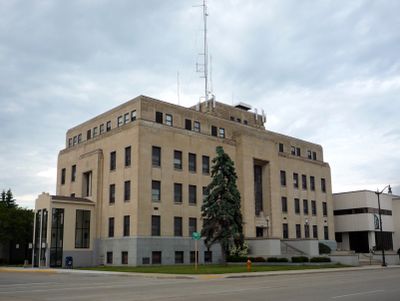
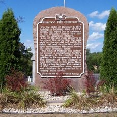
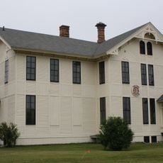
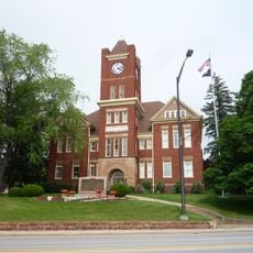
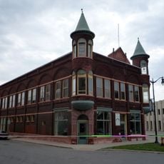
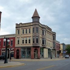
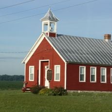
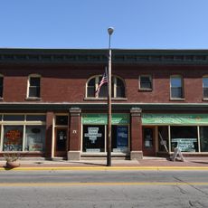
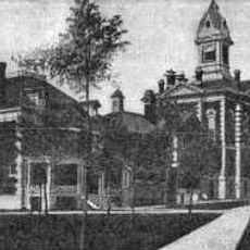
The county developed as a settled region with economic importance tied to timber and resource industries and became a major administrative center. Its role as a commercial hub and administrative seat grew alongside the region's economic expansion.

The demographic composition shows 93.4 percent white residents, with a median age of 40 years and steady population growth through natural births.

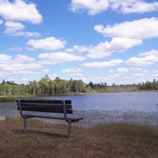
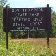
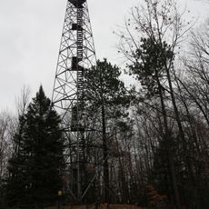
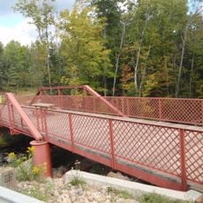
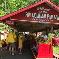
Visitors will find public parks, boat launches, and recreational facilities for outdoor activities throughout the area. Main services and visitor information are available through the county seat.

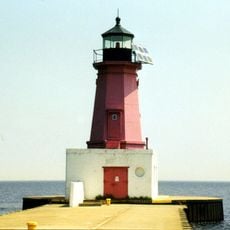
The Lake Michigan shoreline contains plant species found nowhere else in Wisconsin. These special natural habitats make the area particularly noteworthy for those interested in regional ecology.

The community of curious travelers

AroundUs brings together thousands of curated places, local tips, and hidden gems, enriched daily by 60,000 contributors worldwide.

Start exploring
GPS coordinates
45.38350,-88.04096
Latest update
December 7, 2025 20:23
Around this place
DeYoung Family Zoo
United States of America

DeYoung Family Zoo

32.1 km
Interstate Bridge
United States of America

Interstate Bridge

45.1 km
Governor Thompson State Park
United States of America

Governor Thompson State Park

17.1 km
United States of America

Dave's Falls

13.2 km
Peshtigo River State Forest
United States of America

Peshtigo River State Forest

15.7 km
Peshtigo Fire Cemetery
United States of America

Peshtigo Fire Cemetery

42.8 km
Mountain Fire Lookout Tower
United States of America

Mountain Fire Lookout Tower

38.1 km
IXL Historical Museum
United States of America

IXL Historical Museum

49.6 km
Riverside Site
United States of America

Riverside Site

42.9 km
Dickinson County Courthouse and Jail
United States of America

Dickinson County Courthouse and Jail

48.3 km
Chute Pond Dam
United States of America

Chute Pond Dam

42.2 km
St. John the Baptist Catholic Church
United States of America

St. John the Baptist Catholic Church

45.4 km
F.J. Lauerman House
United States of America

F.J. Lauerman House

44.6 km
Dunlap Square Building
United States of America

Dunlap Square Building

45 km
Minertown-Oneva
United States of America

Minertown-Oneva

45.7 km
Menominee Opera House
United States of America

Menominee Opera House

46.4 km
First Street Historic District
United States of America

First Street Historic District

46.2 km
Armstrong Creek Bridge
United States of America

Armstrong Creek Bridge

42.7 km
Lena Road School
United States of America

Lena Road School

38.4 km
Iron Mountain Iron Mine
United States of America

Iron Mountain Iron Mine

46.5 km
Bijou Theatre
United States of America

Bijou Theatre

45.1 km
Menominee River Park Archeological District
United States of America

Menominee River Park Archeological District

44.7 km
Independent Order of Odd Fellows-Lodge No. 189 Building
United States of America

Independent Order of Odd Fellows-Lodge No. 189 Building

46 km
Grand Avenue Bridge
United States of America

Grand Avenue Bridge

23.5 km
Menominee Pier Light
United States of America

Menominee Pier Light

47.8 km
Menominee County Courthouse
United States of America

Menominee County Courthouse

45.5 km
Menekaunee, Wisconsin
United States of America

Menekaunee, Wisconsin

47.9 km
Smyth Road Bridge
United States of America

Smyth Road Bridge

30.3 km
Show the full map
Reviews
Share your experience

No review yet

Discussions
Start a discussion...

No discussion yet

« Marinette County - Administrative division in northeastern Wisconsin, United States » is provided by Around Us (aroundus.com). Images and texts are derived from Wikimedia project under a Creative Commons license. You are allowed to copy, distribute, and modify copies of this page, under the conditions set by the license, as long as this note is clearly visible.

Discover hidden gems everywhere you go!

From secret cafés to breathtaking viewpoints, skip the crowded tourist spots and find places that match your style. Our app makes it easy with voice search, smart filtering, route optimization, and insider tips from travelers worldwide. Download now for the complete mobile experience.

Around Us App Screenshot

A unique approach to discovering new places

Le Figaro

All the places worth exploring

France Info

A tailor-made excursion in just a few clicks

20 Minutes

Around Us
Travel Guide & Maps
Download

Send to your phone

QR Code
1

Open the camera app on your mobile.

2

Point at the QR code with your camera. A notification will appear.

3

Tap the notification to open the link.