Watertown, town in Litchfield County, Connecticut, United States
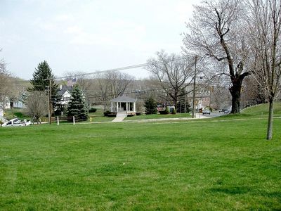
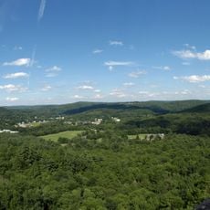
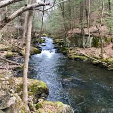
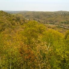
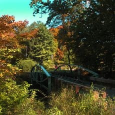
Watertown is a town in Litchfield County, Connecticut, situated in the Naugatuck Valley region and made up of residential neighborhoods, farmland, and small commercial areas. The town covers a broad area where houses, open fields, and local businesses are spread out across a gently rolling landscape.
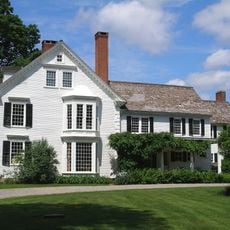
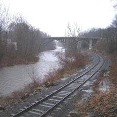
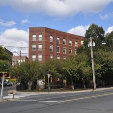
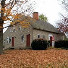
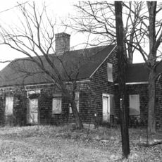
Watertown was established in the early 1700s when settlers from nearby towns moved into the area and began farming the land. The local rivers later powered mills and small factories that helped the town grow beyond farming.
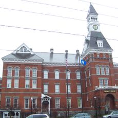
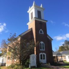
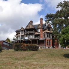
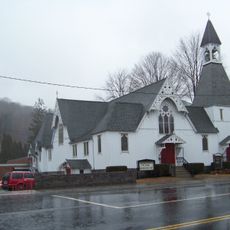
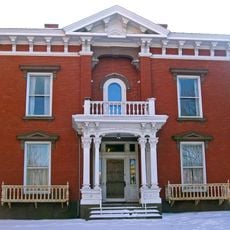
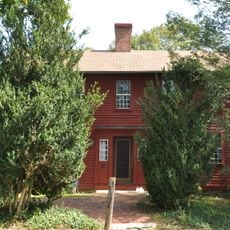
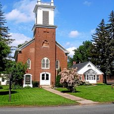
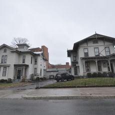
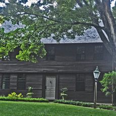
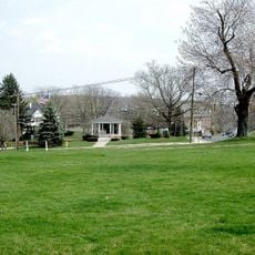
Watertown has a strong sense of local identity rooted in its New England character, with white-steepled churches and town greens that still anchor daily life. Residents gather around local schools, seasonal fairs, and small shops that give the town its everyday rhythm.
A car is the most practical way to get around, as residential and commercial areas are spread out and public transport is very limited. Basic amenities like shops and services are found in the town's small centers, so it helps to know in advance where you are headed.
Although Watertown is part of Litchfield County, it falls geographically within the Naugatuck Valley, giving it a character closer to the valley's industrial towns than to the rural communities of the rest of the county. This in-between position means the town has a mix of landscapes and local histories that do not fit neatly into one category.
The community of curious travelers
AroundUs brings together thousands of curated places, local tips, and hidden gems, enriched daily by 60,000 contributors worldwide.