East Haddam, town in Middlesex County, Connecticut, United States
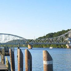
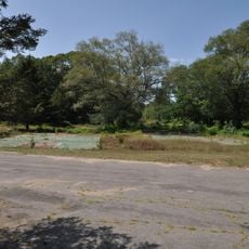
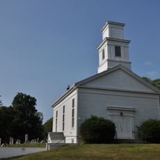
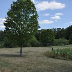
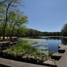
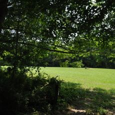
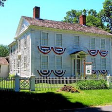
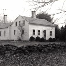
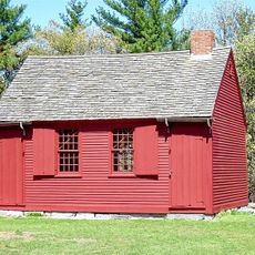
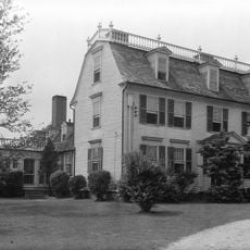
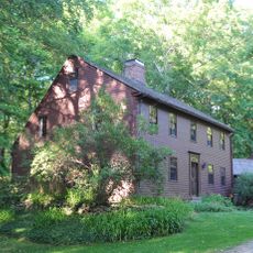
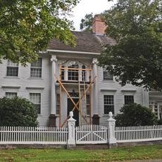
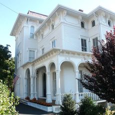
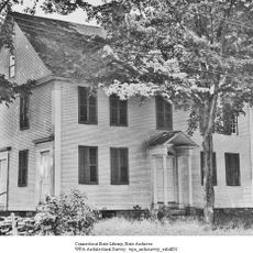
East Haddam is a small town in the Lower Connecticut River Valley with old trees and traditional homes that show a long local history. The region spans rural areas with river views and is divided into several parts, including the village of Moodus, each with its own character.
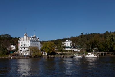
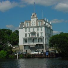
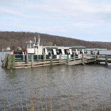
The area was originally known as Machimoodus, 'the place of noises,' as named by native peoples. East Haddam officially separated from Haddam in the 1700s and then developed through shipbuilding, timber, and leather tanning industries, with the river serving as a trade route.
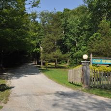
East Haddam's name comes from early settlers who purchased land in the 1600s and established roots here. The town maintains a strong community spirit where locals regularly gather at small shops and restaurants, taking pride in handmade crafts and meals made with fresh, local ingredients.
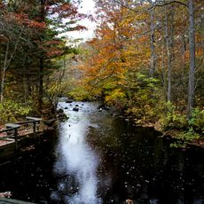
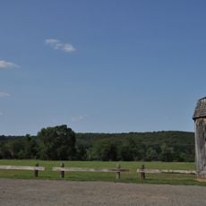
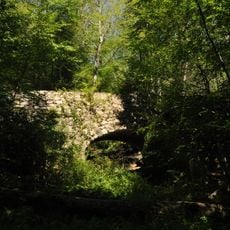
The town has walking and hiking trails through forests and along the river that are easy to access and show the natural beauty of the area. Visitors can comfortably stay overnight at small inns and bed-and-breakfast accommodations and find restaurants and cafes serving simple, hearty meals.
Machimoodus means 'the place of noises,' referring to strange sounds that native peoples heard in the woods. Gillette Castle State Park is a remarkable landmark with seemingly storybook stone walls and towers perched on a hill overlooking the river and countryside.
The community of curious travelers
AroundUs brings together thousands of curated places, local tips, and hidden gems, enriched daily by 60,000 contributors worldwide.