Randolph, town in Orange County, Vermont, United States
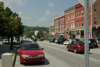
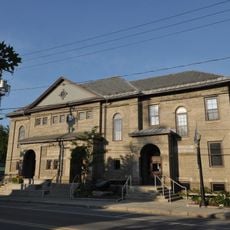
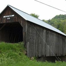
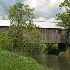
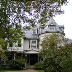
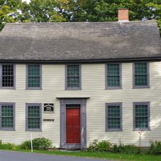
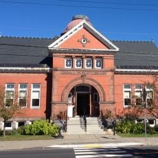
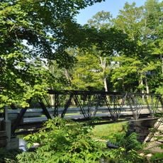
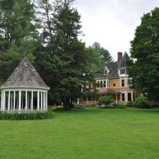
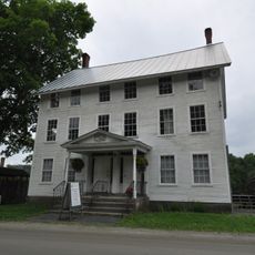
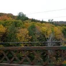
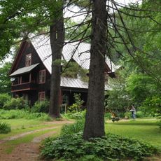
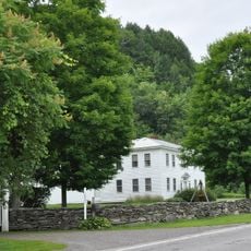
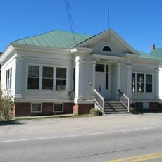
Randolph is a small town in central Vermont situated beside a winding bend in the White River. It features a compact downtown with brick buildings dating to the late 1800s mixed with older wooden structures, all arranged along streets that once served as railroad routes and mill areas.
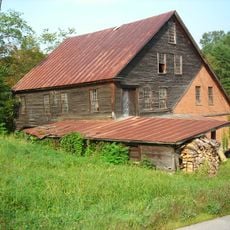
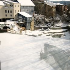
Randolph was officially established in 1781 and took its name from Edmund Randolph to help Vermont gain national recognition. The arrival of the railroad in 1848 transformed the town into a commercial and industrial hub, spurring construction of factories, shops, and residential areas along the rail lines.
The town was named after Edmund Randolph, the first U.S. Attorney General, as a way to make Vermont more known across the country. It holds special meaning for horse breeders worldwide because Justin Morgan developed the Morgan Horse breed here, which became Vermont's official animal.
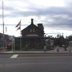
The town is easily accessible via Interstate 89 at exit 12 and offers lodging options from mountain cabins to cozy cottages. You can explore the downtown area on foot and find local shops, the Chandler Center for the Arts, and dining options near the town center.
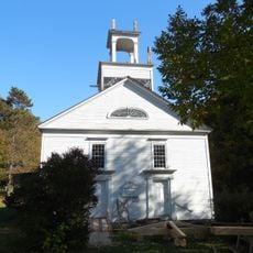
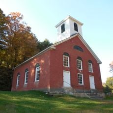
A bell cast by Paul Revere in 1807 hangs in the local church and originally served not just for worship but also to signal emergencies and announce the time to the community. This rare bell is a remnant of an era when church bells were central communication tools for entire towns.
The community of curious travelers
AroundUs brings together thousands of curated places, local tips, and hidden gems, enriched daily by 60,000 contributors worldwide.