Enable Location

We need your location to show you interesting places around you

Discover nearby places

Find interesting locations and hidden gems around you

Precise directions

Get accurate directions and distances to places

Your location is never shared with other users. It's only used when you tap the location button.

Orange County

Log in to your account

Start exploring — it's free

Trusted by 61,367 travelers worldwide

Continue with Google
Continue with Apple
or

We will send you a code to connect

By continuing, you accept our Terms and Conditions and our Privacy Policy

Check your inbox

We've sent a pincode in your inbox. Please enter the code below.

Orange County, Administrative county in central Vermont, United States.

Description

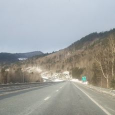
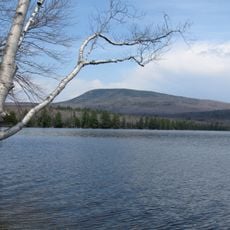
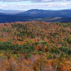
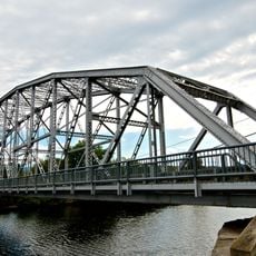
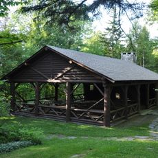
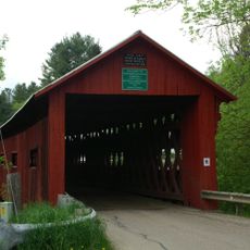
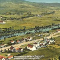
Orange County is an administrative region in central Vermont with dense forests, rolling hills, and farmland that supports seventeen towns. The landscape flows naturally between wooded areas and cleared fields, creating a patchwork pattern across the terrain.

History

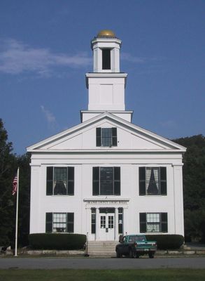
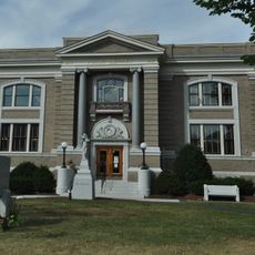
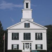
The county was established in 1781 as Vermont formed its own administrative districts and designated Chelsea as its governing center. This early system reflected the newly independent state's need to organize its scattered rural settlements.

Culture

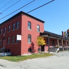
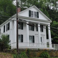
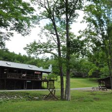
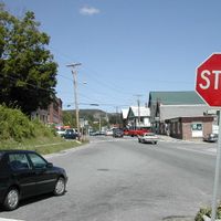
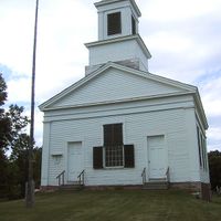
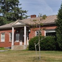
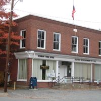
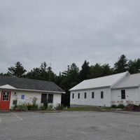
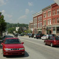
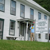
The area centers on small rural communities where residents maintain strong connections to farming and forestry traditions. Local gatherings and farmers markets show how daily life remains tied to the rhythms of the land.

Practical

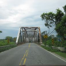
Visiting is possible year-round, though winter brings snow and slower travel between scattered towns. A car is the practical way to explore since towns spread across the region and public transportation is limited.

Did you know?

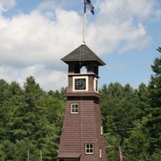
Allis State Park contains observation towers where visitors can see across multiple counties into the distance. These structures were built long ago as practical lookout points and remain accessible today to those who climb them.

Location
Inception
1781
Capital city
Chelsea
Shares border with
Caledonia County, Grafton County, Windsor County, Addison County, Washington County
GPS coordinates
43.99582,-72.37489
Latest update
December 7, 2025 19:32

AroundUs brings together thousands of curated places, local tips, and hidden gems, enriched daily by 60,000 contributors worldwide. Discover all places nearby (Vermont).

Around this place
Interstate 89
United States of America

Interstate 89

24.8 km
Joseph Smith Birthplace Memorial
United States of America

Joseph Smith Birthplace Memorial

20.7 km
Sunset Lake Floating Bridge
United States of America

Sunset Lake Floating Bridge

19.1 km
Barre Granite
United States of America

Barre Granite

19.5 km
Vermontasaurus
United States of America

Vermontasaurus

15.8 km
Smarts Mountain
United States of America

Smarts Mountain

33.4 km
Wells River Bridge
United States of America

Wells River Bridge

32 km
Gile Mountain
United States of America

Gile Mountain

23.1 km
Camp Billings
United States of America

Camp Billings

16.4 km
Justin Smith Morrill Homestead
United States of America

Justin Smith Morrill Homestead

14.8 km
Haverhill-Bath Covered Bridge
United States of America

Haverhill-Bath Covered Bridge

32.3 km
Bedell Covered Bridge
United States of America

Bedell Covered Bridge

24.7 km
Morey Memorial Bridge
United States of America

Morey Memorial Bridge

21.3 km
Ranger Bridge
United States of America

Ranger Bridge

32 km
Piermont Bridge
United States of America

Piermont Bridge

21.1 km
Socialist Labor Party Hall
United States of America

Socialist Labor Party Hall

24.9 km
Daniel Gay House
United States of America

Daniel Gay House

35.5 km
Lyme–East Thetford Bridge
United States of America

Lyme–East Thetford Bridge

25.6 km
Allis State Park
United States of America

Allis State Park

21.6 km
Northfield Falls Covered Bridge
United States of America

Northfield Falls Covered Bridge

29.6 km
Lanakila Camp
United States of America

Lanakila Camp

19.8 km
Vermont Granite Museum
United States of America

Vermont Granite Museum

26.7 km
Slaughter House Covered Bridge
United States of America

Slaughter House Covered Bridge

29.5 km
Randolph Center Historic District
United States of America

Randolph Center Historic District

20.1 km
Saint Monica's Church, Barre
United States of America

Saint Monica's Church, Barre

25.1 km
Braley Covered Bridge
United States of America

Braley Covered Bridge

16.4 km
Aldrich Public Library
United States of America

Aldrich Public Library

24.6 km
Bedell Bridge State Park
United States of America

Bedell Bridge State Park

24.8 km
Show the full map
« Orange County - Administrative county in central Vermont, United States » is provided by Around Us (aroundus.com). Images and texts are derived from Wikimedia project under a Creative Commons license. You are allowed to copy, distribute, and modify copies of this page, under the conditions set by the license, as long as this note is clearly visible.

Discover hidden gems everywhere you go!

From secret cafés to breathtaking viewpoints, skip the crowded tourist spots and find places that match your style. Our app makes it easy with voice search, smart filtering, route optimization, and insider tips from travelers worldwide. Download now for the complete mobile experience.

Around Us App Screenshot

A unique approach to discovering new places

Le Figaro

All the places worth exploring

France Info

A tailor-made excursion in just a few clicks

20 Minutes

Around Us
Travel Guide & Maps
Download

Send to your phone

QR Code
1

Open the camera app on your mobile.

2

Point at the QR code with your camera. A notification will appear.

3

Tap the notification to open the link.