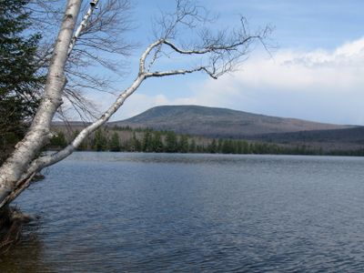
Smarts Mountain, Mountain summit in Lyme, New Hampshire, United States
Smarts Mountain is a summit in Lyme, New Hampshire, rising to around 3,240 feet (about 988 m) above sea level. Two marked trails lead to the top: the Appalachian Trail from the east and the Ranger Trail from the west, each approaching through forested terrain.
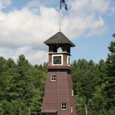
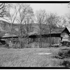
Two wooden fire-watch towers stood on the summit in the early 1900s before operations ended in 1922. The Dartmouth Outing Club later built a replacement tower and a shelter cabin, both of which remained in use into the 1970s.
The summit is a regular stop for long-distance hikers walking the Appalachian Trail, who use the shelter just below the top as a resting point. Local hiking clubs from nearby towns also organize group outings here throughout the warmer months.
Both trailheads have parking areas and are clearly signed, making it easy to find the start of each route. The paths become steep closer to the top, so sturdy footwear and an early start give you a more comfortable outing.
The mountain is separated from the White Mountains by Oliverian Notch, which gives it a relative prominence of over 2,000 feet (about 600 m), making it stand out among New Hampshire peaks. The old tower foundations are still visible on the summit, a quiet reminder of its former role as a fire lookout point.
The community of curious travelers
AroundUs brings together thousands of curated places, local tips, and hidden gems, enriched daily by 60,000 contributors worldwide.