
Codorus State Park
20.3 km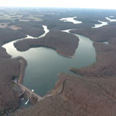
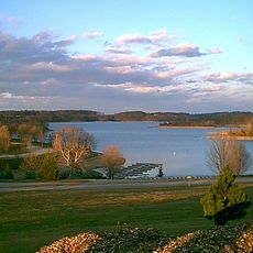
Prettyboy Reservoir
15.5 km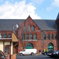
York Historic District
21.1 km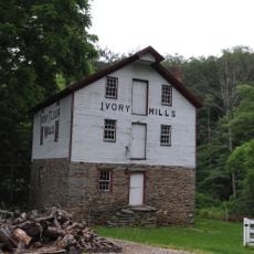
Ivory Mills
16.9 km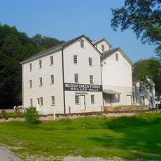
Muddy Creek Forks Historic District
19.9 km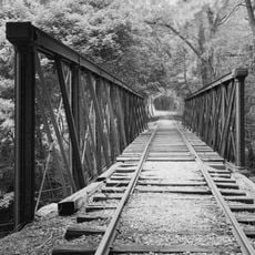
Valley Road Bridge, Stewartstown Railroad
7.8 km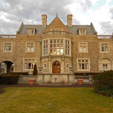
Springdale Historic District
21.1 km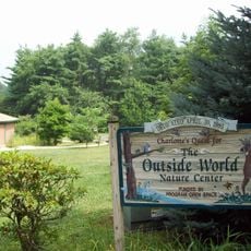
Charlotte's Quest Nature Center
18.7 km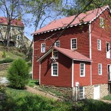
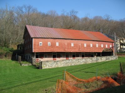
Wallace-Cross Mill
14.3 km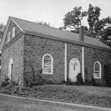
Guinston United Presbyterian Church
19.6 km
South Road Bridge, Northern Central Railway
8.5 km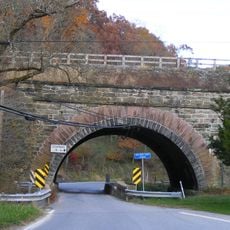
Bridge 634, Northern Central Railway
2.3 km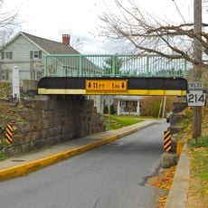
Bridge 5+92, Northern Central Railway
12.1 km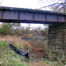
Stone Arch Road Bridge, Stewartstown Railroad
1.6 km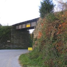
Ridge Road Bridge, Stewartstown Railroad
6.4 km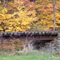
Deer Creek Bridge, Stewartstown Railroad
4.4 km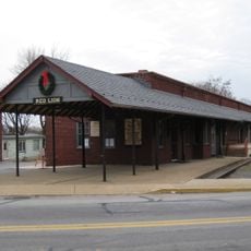
Red Lion Borough Historic District
17.2 km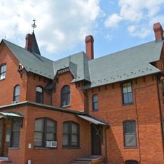
Spring Grove Borough Historic District
18.9 km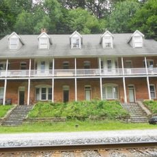
S. B. Brodbeck Housing
11 km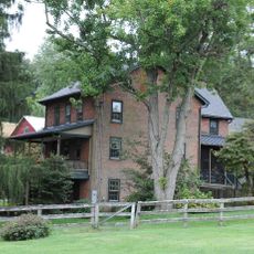
Jacob F. Shaffer Farm
13 km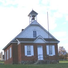
Fissel's School
3 km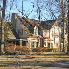
Chestnut Hill
21.2 km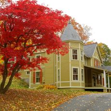
The Nook
20.7 km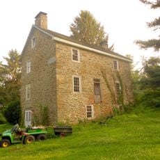
Payne's Folly
17.4 km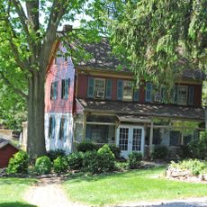
Samuel Stoner Homestead
19 km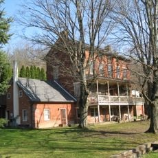
Railroad Borough Historic District
152 m
Bridgewater
19.7 km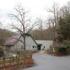
Nixon County Park
14 kmReviews
Visited this place? Tap the stars to rate it and share your experience / photos with the community! Try now! You can cancel it anytime.
Discover hidden gems everywhere you go!
From secret cafés to breathtaking viewpoints, skip the crowded tourist spots and find places that match your style. Our app makes it easy with voice search, smart filtering, route optimization, and insider tips from travelers worldwide. Download now for the complete mobile experience.

A unique approach to discovering new places❞
— Le Figaro
All the places worth exploring❞
— France Info
A tailor-made excursion in just a few clicks❞
— 20 Minutes