Chest opened
+${chestReward.xp} XP
Explorer
NOUVEAU ×${chestReward.collectible.quantity}
tapez pour fermer
Chest locked

Open chests in the app

Around Us is built for your phone — chests unlock when you walk, explore and capture nearby places.

Enable Location

We need your location to show you interesting places around you

Discover nearby places

Find interesting locations and hidden gems around you

Precise directions

Get accurate directions and distances to places

Your location is never shared with other users. It's only used when you tap the location button.

Log in to your account

Start exploring — it's free

Trusted by 72,891 travelers worldwide

Continue with Google
Continue with Apple
or

We will send you a code to connect

By continuing, you accept our Terms and Conditions and our Privacy Policy

Check your inbox

We've sent a pincode in your inbox. Please enter the code below.

Northern panhandle
Discussion Reviews Photo
23.8k Popularity

Northern panhandle, Geographic region in West Virginia, United States.

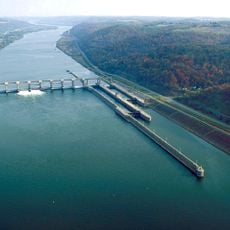
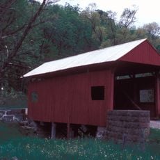
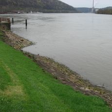
The Northern Panhandle is a geographic region in West Virginia that extends northward between Ohio and Pennsylvania, encompassing four counties along the Ohio River. The territory features varying elevations and diverse natural landforms shaped by river and geological processes.

The territory emerged from boundary agreements made in the 1780s that resolved disputes between Virginia and Pennsylvania during the Revolutionary era. These settlements determined how this region came to sit between the states as it exists today.

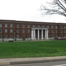
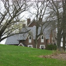
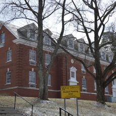
Three universities anchored in this territory shape local life and draw students from surrounding areas. Their campuses remain woven into how residents experience and gather in their communities.

The region links to major transportation routes through the Baltimore and Ohio Railroad system, which historically facilitated commerce between regional centers. Visitors can traverse this territory using various roads and rail lines that continue connecting communities today.

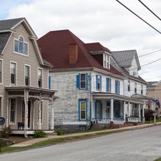
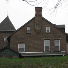
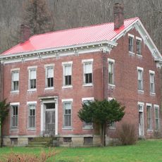
This territory became a center for steel and glass manufacturing, where industrial cities like Weirton and Wheeling supplied products across the nation. These factories shaped not just the economy but also daily life and how communities built their towns.

The community of curious travelers

AroundUs brings together thousands of curated places, local tips, and hidden gems, enriched daily by 60,000 contributors worldwide.

Start exploring
Location
GPS coordinates
40.16667,-80.58333
Latest update
December 20, 2025 13:40
Around this place
Alexander Campbell Mansion
United States of America

Alexander Campbell Mansion

5.5 km
Vancroft
United States of America

Vancroft

12.7 km
Pike Island Locks and Dam
United States of America

Pike Island Locks and Dam

10.4 km
Hodgen's Cemetery Mound
United States of America

Hodgen's Cemetery Mound

9.5 km
Old Bethany Church
United States of America

Old Bethany Church

5.1 km
Stratford Springs
United States of America

Stratford Springs

11.9 km
Delta Tau Delta Founders House
United States of America

Delta Tau Delta Founders House

4.8 km
Carter Farm
United States of America

Carter Farm

11 km
Mount Saint Joseph
United States of America

Mount Saint Joseph

8.7 km
Caldwell Tavern
United States of America

Caldwell Tavern

9.5 km
Nicholls House and Woolen Mill Site
United States of America

Nicholls House and Woolen Mill Site

10.2 km
Erskine Covered Bridge
United States of America

Erskine Covered Bridge

12.5 km
Elm Hill
United States of America

Elm Hill

11.4 km
Stringer Stone House
United States of America

Stringer Stone House

9.4 km
Bethany Historic District
United States of America

Bethany Historic District

5 km
Shaw Hall
United States of America

Shaw Hall

1.6 km
West Alexander Historic District
United States of America

West Alexander Historic District

9.3 km
Blaney Mays Covered Bridge
United States of America

Blaney Mays Covered Bridge

12 km
Pendleton Heights
United States of America

Pendleton Heights

4.9 km
Lucy Tarr Mansion
United States of America

Lucy Tarr Mansion

12.5 km
Gen. I.H. Duval Mansion
United States of America

Gen. I.H. Duval Mansion

12.1 km
Fischer-Lasch Farmhouse
United States of America

Fischer-Lasch Farmhouse

12 km
Shotwell Hall, West Liberty State College
United States of America

Shotwell Hall, West Liberty State College

1.7 km
Beallmore
United States of America

Beallmore

12.6 km
Wellsburg Wharf
United States of America

Wellsburg Wharf

11.7 km
Danforth Brown House
United States of America

Danforth Brown House

11.3 km
Harry and Louisiana Beall Paull Mansion
United States of America

Harry and Louisiana Beall Paull Mansion

12.2 km
Oglebay Park
United States of America

Oglebay Park

10 km
Show the full map
Reviews
Share your experience

No review yet

Discussions
Start a discussion...

No discussion yet

« Northern panhandle - Geographic region in West Virginia, United States » is provided by Around Us (aroundus.com). Images and texts are derived from Wikimedia project under a Creative Commons license. You are allowed to copy, distribute, and modify copies of this page, under the conditions set by the license, as long as this note is clearly visible.

Discover hidden gems everywhere you go!

From secret cafés to breathtaking viewpoints, skip the crowded tourist spots and find places that match your style. Our app makes it easy with voice search, smart filtering, route optimization, and insider tips from travelers worldwide. Download now for the complete mobile experience.

Around Us App Screenshot

A unique approach to discovering new places

Le Figaro

All the places worth exploring

France Info

A tailor-made excursion in just a few clicks

20 Minutes

Around Us
Travel Guide & Maps
Download

Send to your phone

QR Code
1

Open the camera app on your mobile.

2

Point at the QR code with your camera. A notification will appear.

3

Tap the notification to open the link.