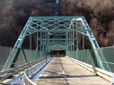
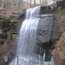
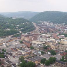
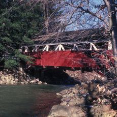
Inclined Plane Bridge, Road bridge at Stonycreek River, Johnstown, US
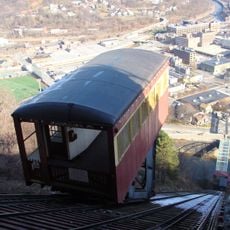
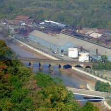
The Inclined Plane Bridge is a road bridge crossing the Stonycreek River that employs Pennsylvania truss design with wrought iron and steel riveted together. The structure spans roughly 237 feet and currently carries State Route 3022 while providing access to the lower station of the Johnstown Inclined Plane.
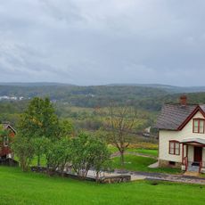
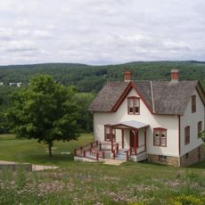
The Cambria Iron Company built this bridge after the devastating 1889 flood to connect the city with a new residential area on Yoder Hill. Its construction represents the region's efforts to rebuild and reconnect communities following the disaster.
The bridge serves as an educational resource for engineering students who study its Pennsylvania truss style and structural components from the late 19th century.
The bridge is open to both vehicle and pedestrian traffic and forms an important part of local transportation connections. Keep in mind that this is an active roadway, so visitors should exercise caution when exploring the structure.
During the 1936 flood, nearly 4,000 people rushed to the bridge seeking the inclined plane as an evacuation route. This event reveals how the community relied on the structure during times of crisis.
The community of curious travelers
AroundUs brings together thousands of curated places, local tips, and hidden gems, enriched daily by 60,000 contributors worldwide.