Chest opened
+${chestReward.xp} XP
Explorer
NOUVEAU ×${chestReward.collectible.quantity}
tapez pour fermer
Chest locked

Open chests in the app

Around Us is built for your phone — chests unlock when you walk, explore and capture nearby places.

Enable Location

We need your location to show you interesting places around you

Discover nearby places

Find interesting locations and hidden gems around you

Precise directions

Get accurate directions and distances to places

Your location is never shared with other users. It's only used when you tap the location button.

Falls Township

Log in to your account

Start exploring — it's free

Trusted by 72,887 travelers worldwide

Continue with Google
Continue with Apple
or

We will send you a code to connect

By continuing, you accept our Terms and Conditions and our Privacy Policy

Check your inbox

We've sent a pincode in your inbox. Please enter the code below.

Discussion Reviews 1 Photos
10.7k Popularity

Falls Township, Administrative division in Bucks County, Pennsylvania, United States.

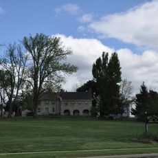
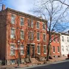
Falls Township is an administrative division in Bucks County, Pennsylvania, covering an area of residential neighborhoods, commercial districts, and public spaces across its boundaries. The community is characterized by a mix of developed regions and open land managed through local planning efforts.

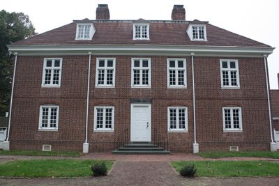
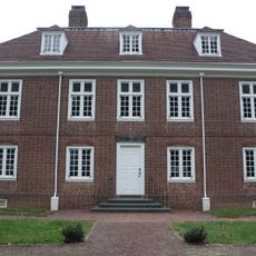
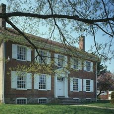
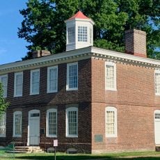
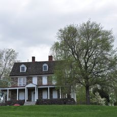
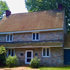
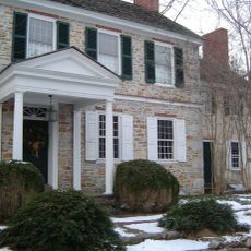
Welsh settlers founded the area in 1682, and it gained official township status in the early eighteenth century. This early settlement established the foundation for the community that developed over the following centuries.

The Board of Supervisors organizes regular community events throughout the year, bringing together residents from different neighborhoods for shared celebrations.

Visitors can access township services through the official municipal website and attend public meetings at the administrative center located on Lincoln Highway. Parks and recreational facilities throughout the area are open during regular hours and are typically well-marked for easy navigation.

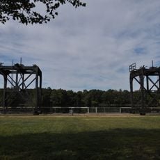
The township maintains multiple parks and recreational facilities while implementing strict zoning regulations to preserve the balance between development and open spaces.

The community of curious travelers

AroundUs brings together thousands of curated places, local tips, and hidden gems, enriched daily by 60,000 contributors worldwide.

Start exploring
GPS coordinates
40.16496,-74.77651
Latest update
December 10, 2025 15:52
Around this place
New Jersey State Prison
United States of America

New Jersey State Prison

5 km
Lower Trenton Bridge
United States of America

Lower Trenton Bridge

5.1 km
Sun National Bank Center
United States of America

Sun National Bank Center

5.6 km
Pennsbury Manor
United States of America

Pennsbury Manor

3.6 km
New Jersey State Museum
United States of America

New Jersey State Museum

6.4 km
John A. Roebling's Sons Company, Trenton N.J., Block 3
United States of America

John A. Roebling's Sons Company, Trenton N.J., Block 3

5.6 km
Trenton–Morrisville Toll Bridge
United States of America

Trenton–Morrisville Toll Bridge

5 km
Calhoun Street Bridge
United States of America

Calhoun Street Bridge

6.1 km
Trenton War Memorial
United States of America

Trenton War Memorial

6 km
Summerseat
United States of America

Summerseat

4.8 km
William Trent House
United States of America

William Trent House

5.4 km
Phineas Pemberton House
United States of America

Phineas Pemberton House

5.4 km
Roebling Machine Shop
United States of America

Roebling Machine Shop

5.4 km
Hog Island Cranes
United States of America

Hog Island Cranes

3.4 km
Stokely-Van Camp Industrial Complex
United States of America

Stokely-Van Camp Industrial Complex

4.3 km
Isaac Watson House
United States of America

Isaac Watson House

5.1 km
American Cigar Company
United States of America

American Cigar Company

5.9 km
In and Out Social Club
United States of America

In and Out Social Club

5.4 km
Douglass House
United States of America

Douglass House

6.1 km
Fallsington Historic District
United States of America

Fallsington Historic District

4.1 km
Bow Hill
United States of America

Bow Hill

4.1 km
Sotcher Farmhouse
United States of America

Sotcher Farmhouse

7 km
Gershom Craft House
United States of America

Gershom Craft House

4.3 km
Mott School and Second Street School
United States of America

Mott School and Second Street School

4.3 km
Trenton Ferry Historic District
United States of America

Trenton Ferry Historic District

5.2 km
Mill Hill Historic District
United States of America

Mill Hill Historic District

5.9 km
Morrisville–Trenton Railroad Bridge
United States of America

Morrisville–Trenton Railroad Bridge

4.9 km
Capital State Park
United States of America

Capital State Park

5.9 km
Show the full map
Reviews
Share your experience

No review yet

Discussions
Start a discussion...

No discussion yet

« Falls Township - Administrative division in Bucks County, Pennsylvania, United States » is provided by Around Us (aroundus.com). Images and texts are derived from Wikimedia project under a Creative Commons license. You are allowed to copy, distribute, and modify copies of this page, under the conditions set by the license, as long as this note is clearly visible.

Discover hidden gems everywhere you go!

From secret cafés to breathtaking viewpoints, skip the crowded tourist spots and find places that match your style. Our app makes it easy with voice search, smart filtering, route optimization, and insider tips from travelers worldwide. Download now for the complete mobile experience.

Around Us App Screenshot

A unique approach to discovering new places

Le Figaro

All the places worth exploring

France Info

A tailor-made excursion in just a few clicks

20 Minutes

Around Us
Travel Guide & Maps
Download

Send to your phone

QR Code
1

Open the camera app on your mobile.

2

Point at the QR code with your camera. A notification will appear.

3

Tap the notification to open the link.