
Waltham, town in Vermont
Location: Addison County
Inception: November 1796
Elevation above the sea: 131 m
Website: https://sites.google.com/site/townofwalthamvermont/
Website: https://sites.google.com/site/townofwalthamvermont
GPS coordinates: 44.13164,-73.23452
Latest update: March 15, 2025 17:46
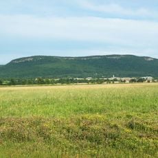
Snake Mountain
8.6 km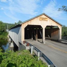
Pulp Mill Covered Bridge
12.7 km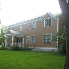
Rokeby
10.1 km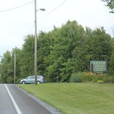
Grand Isle State Park
10.9 km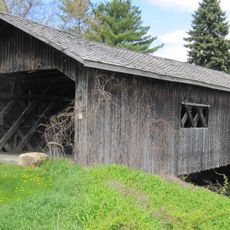
Spade Farm Covered Bridge
12.2 km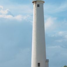
Barber's Point Light
13.8 km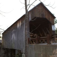
Halpin Covered Bridge
11.8 km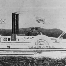
Champlain II
14.1 km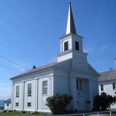
Addison Baptist Church
7.3 km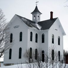
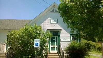
Lampson School
10.9 km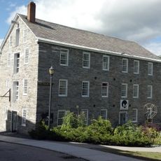
Stone Mill
13.6 km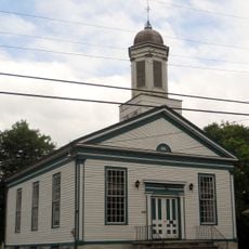
Wesleyan Methodist Church
7.6 km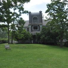
Hawley's Ferry House
13.1 km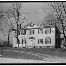
Gen. Samuel Strong House
4.1 km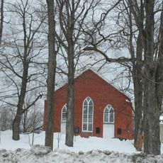
Union Meetinghouse
8.3 km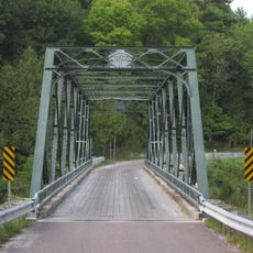
Bridge 26
7.3 km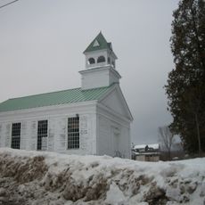
Union Church
10.9 km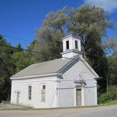
Brooksville Advent Church
8.9 km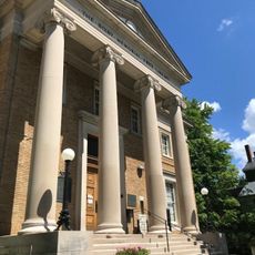
Bixby Memorial Free Library
4.3 km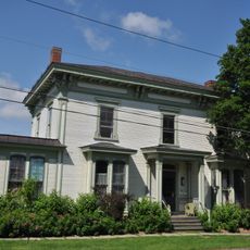
Vergennes Residential Historic District
4.1 km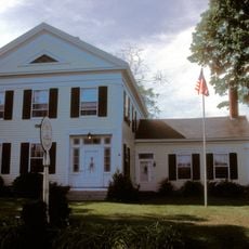
Samuel Paddock Strong House
3.9 km
Field Farm
10.9 km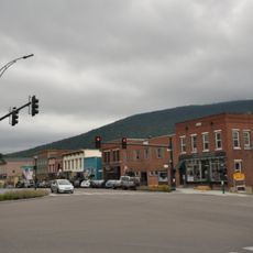
Bristol Downtown Historic District
12.5 km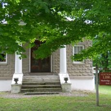
Cotton Free Library
7.6 km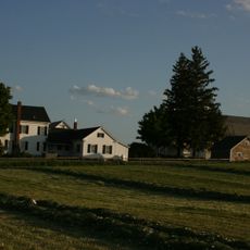
Bottum Farm
6.3 km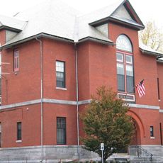
Vergennes Historic District
4.4 km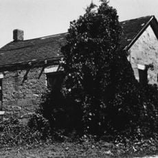
District School No. 1
10.4 km
Capts. Louis and Philomene Daniels House
4.7 kmReviews
Visited this place? Tap the stars to rate it and share your experience / photos with the community! Try now! You can cancel it anytime.
Discover hidden gems everywhere you go!
From secret cafés to breathtaking viewpoints, skip the crowded tourist spots and find places that match your style. Our app makes it easy with voice search, smart filtering, route optimization, and insider tips from travelers worldwide. Download now for the complete mobile experience.

A unique approach to discovering new places❞
— Le Figaro
All the places worth exploring❞
— France Info
A tailor-made excursion in just a few clicks❞
— 20 Minutes