Enable Location

We need your location to show you interesting places around you

Discover nearby places

Find interesting locations and hidden gems around you

Precise directions

Get accurate directions and distances to places

Your location is never shared with other users. It's only used when you tap the location button.

Montville

Log in to your account

Start exploring — it's free

Trusted by 63,038 travelers worldwide

Continue with Google
Continue with Apple
or

We will send you a code to connect

By continuing, you accept our Terms and Conditions and our Privacy Policy

Check your inbox

We've sent a pincode in your inbox. Please enter the code below.

Discussion Reviews 1 Photos
24.2k Popularity

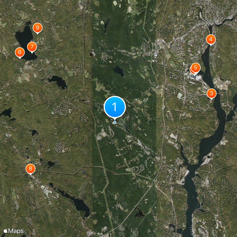
Montville, Town in New London County, Connecticut, US

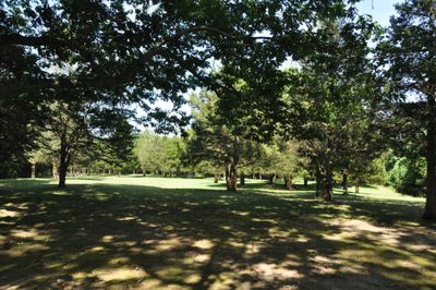
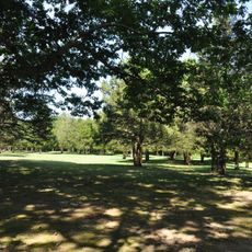
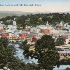
Montville is a town in New London County, Connecticut, organized around four distinct villages: Chesterfield, Mohegan, Oakdale, and Uncasville. These settlements sit along the Thames River in a rural setting with both residential and natural areas.

The area was originally home to the Pequot people until 1658, when Mohegan leader Uncas granted land to European settlers Richard Haughton and James Rogers. These early land transfers marked the beginning of European settlement in the region.

The Mohegan Tribal Nation maintains a living cultural presence here, sharing their heritage through educational initiatives and community events that visitors can experience. Their traditions continue to shape the character of the area.

The town offers various services for residents and visitors, including voter registration, hunting permits, and fishing licenses through its municipal offices. A community alert system keeps people informed about local announcements and emergency information.

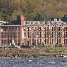
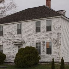
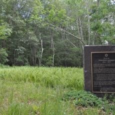
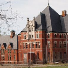
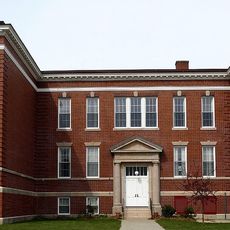
Four historic properties here are listed on the National Register of Historic Places, including Fort Shantok and Uncasville School, which offer visitors a chance to explore significant archaeological and educational heritage sites. These locations reveal traces of both Native American and colonial-era importance.

The community of curious travelers

AroundUs brings together thousands of curated places, local tips, and hidden gems, enriched daily by 60,000 contributors worldwide.

Start exploring
Inception
1786
Elevation above the sea
114 m
GPS coordinates
41.46389,-72.15556
Latest update
December 20, 2025 13:01
Around this place
Mohegan Sun
United States of America

Mohegan Sun

6.2 km
Fort Shantok
United States of America

Fort Shantok

6.7 km
American Thermos Bottle Company Laurel Hill Plant
United States of America

American Thermos Bottle Company Laurel Hill Plant

8.2 km
The Earth Tower
United States of America

The Earth Tower

6.3 km
United States of America

Gardner Lake State Park

7.7 km
United States of America

Minnie Island State Park

7.2 km
The Dinosaur Place at Nature's Art Village
United States of America

The Dinosaur Place at Nature's Art Village

6.6 km
United States of America

Hopemead State Park

7.9 km
Raymond-Bradford Homestead
United States of America

Raymond-Bradford Homestead

2.2 km
Laurel Hill Historic District
United States of America

Laurel Hill Historic District

9 km
Samson Occom Bridge
United States of America

Samson Occom Bridge

6 km
United States of America

Lake Konomoc

5.9 km
Mohegan-Pequot Bridge
United States of America

Mohegan-Pequot Bridge

7 km
New England Hebrew Farmers of the Emanuel Society Synagogue and Creamery Site
United States of America

New England Hebrew Farmers of the Emanuel Society Synagogue and Creamery Site

6.4 km
Norwich State Hospital
United States of America

Norwich State Hospital

7.4 km
Discovery Depot at Nature's Art Village
United States of America

Discovery Depot at Nature's Art Village

6.6 km
United States of America

Thamesville Playground

7.8 km
United States of America

Oxoboxo Lake

4.7 km
United States of America

Bogue Brook Reservoir

4.9 km
United States of America

Norwich Golf Course

6 km
United States of America

Malerba's Golf Driving Range

6.4 km
Uncasville School
United States of America

Uncasville School

4.9 km
United States of America

Nature's Art Village

6.7 km
United States of America

The Cabaret Theatre

6.3 km
United States of America

Laurel Lock Campground

7.7 km
United States of America

Pequot Ledge Campground

6.9 km
United States of America

Monty the T-Rex

6.6 km
United States of America

Work of art, graffiti

6.9 km
Show the full map
Reviews
Share your experience

No review yet

Discussions
Start a discussion...

No discussion yet

« Montville - Town in New London County, Connecticut, US » is provided by Around Us (aroundus.com). Images and texts are derived from Wikimedia project under a Creative Commons license. You are allowed to copy, distribute, and modify copies of this page, under the conditions set by the license, as long as this note is clearly visible.

Discover hidden gems everywhere you go!

From secret cafés to breathtaking viewpoints, skip the crowded tourist spots and find places that match your style. Our app makes it easy with voice search, smart filtering, route optimization, and insider tips from travelers worldwide. Download now for the complete mobile experience.

Around Us App Screenshot

A unique approach to discovering new places

Le Figaro

All the places worth exploring

France Info

A tailor-made excursion in just a few clicks

20 Minutes

Around Us
Travel Guide & Maps
Download

Send to your phone

QR Code
1

Open the camera app on your mobile.

2

Point at the QR code with your camera. A notification will appear.

3

Tap the notification to open the link.