Enable Location

We need your location to show you interesting places around you

Discover nearby places

Find interesting locations and hidden gems around you

Precise directions

Get accurate directions and distances to places

Your location is never shared with other users. It's only used when you tap the location button.

Mankato

Log in to your account

Start exploring — it's free

Trusted by 61,514 travelers worldwide

Continue with Google
Continue with Apple
or

We will send you a code to connect

By continuing, you accept our Terms and Conditions and our Privacy Policy

Check your inbox

We've sent a pincode in your inbox. Please enter the code below.

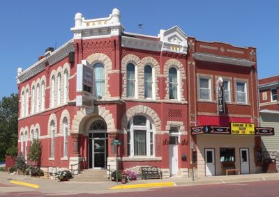
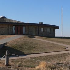
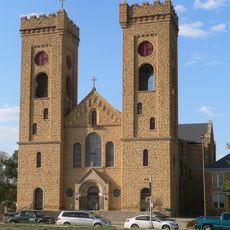
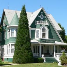
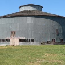
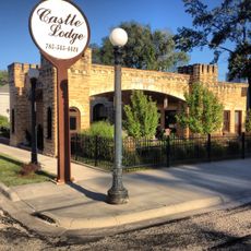
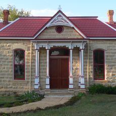
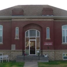
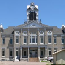
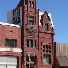
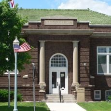
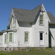
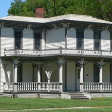
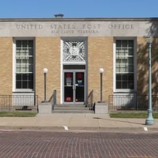
Mankato, County seat in Blue Earth County, Minnesota, US

Description

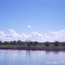
Mankato sits where the Minnesota River and Blue Earth River meet, sprawling across parts of three counties. This river location shaped how the city grew and developed over time.

History

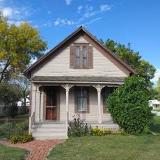
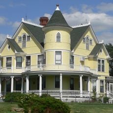
The settlement began in 1852 as Mankato Township and became formally organized in 1858 when Minnesota entered the Union. These early years set the foundation for the community that exists today.

Culture

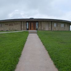
The city grew from Dakota roots, and you can find reminders of this heritage throughout the area. Local institutions work to share stories about the people and communities that shaped this place.

Practical

The city is accessible through several major routes, including U.S. Routes 14 and 169 and state highways 22 and 60. These roads make it easy to reach nearby city areas and travel throughout the region.

Did you know?

The name Mankato came from a typo of the intended Dakota word Mahkato that stuck in official records. This early spelling mistake became a permanent part of how the city is known.

GPS coordinates
39.78692,-98.20934
Latest update
December 8, 2025 13:42

AroundUs brings together thousands of curated places, local tips, and hidden gems, enriched daily by 60,000 contributors worldwide. Discover all places nearby (Mankato).

Around this place
Geographic center of the contiguous United States
United States of America

Geographic center of the contiguous United States

32 km
United States of America

Waconda Lake

35.8 km
Willa Cather House
United States of America

Willa Cather House

42.7 km
William Ducker House
United States of America

William Ducker House

43.6 km
Pawnee Indian Museum State Historic Site
United States of America

Pawnee Indian Museum State Historic Site

32.7 km
St. John the Baptist Catholic Church
United States of America

St. John the Baptist Catholic Church

37.7 km
Wallace Warren and Lillian Genevieve Bradshaw Kendall House
United States of America

Wallace Warren and Lillian Genevieve Bradshaw Kendall House

29 km
Starke Round Barn
United States of America

Starke Round Barn

38.5 km
Jamestown (Kansas) Wildlife Area
United States of America

Jamestown (Kansas) Wildlife Area

29.2 km
Jewell County Courthouse
United States of America

Jewell County Courthouse

183 m
Burr Oak United Methodist Church
United States of America

Burr Oak United Methodist Church

12.2 km
Mitchell County Courthouse
United States of America

Mitchell County Courthouse

37.6 km
E. W. Norris Service Station
United States of America

E. W. Norris Service Station

33.1 km
Old Cawker City Library
United States of America

Old Cawker City Library

36.2 km
Downs Carnegie Library
United States of America

Downs Carnegie Library

42.9 km
Nuckolls County Courthouse
United States of America

Nuckolls County Courthouse

48 km
Farmer's and Merchant's Bank Building
United States of America

Farmer's and Merchant's Bank Building

42.7 km
Auld Public Library
United States of America

Auld Public Library

42.9 km
Matthew R. Bentley House
United States of America

Matthew R. Bentley House

43.3 km
Miner House
United States of America

Miner House

42.8 km
Red Cloud United States Post Office
United States of America

Red Cloud United States Post Office

42.7 km
Warner-Cather House
United States of America

Warner-Cather House

43.1 km
Nelson Cemetery Walk
United States of America

Nelson Cemetery Walk

47.9 km
Dr. Gilbert McKeeby House
United States of America

Dr. Gilbert McKeeby House

43.4 km
Pawnee Indian Museum State Historic Site
United States of America

Pawnee Indian Museum State Historic Site

32.7 km
Cather Childhood Home
United States of America

Cather Childhood Home

42.7 km
Red Cloud Bridge
United States of America

Red Cloud Bridge

40.5 km
O.W. Francis House
United States of America

O.W. Francis House

13.3 km
Show the full map
« Mankato - County seat in Blue Earth County, Minnesota, US » is provided by Around Us (aroundus.com). Images and texts are derived from Wikimedia project under a Creative Commons license. You are allowed to copy, distribute, and modify copies of this page, under the conditions set by the license, as long as this note is clearly visible.

Discover hidden gems everywhere you go!

From secret cafés to breathtaking viewpoints, skip the crowded tourist spots and find places that match your style. Our app makes it easy with voice search, smart filtering, route optimization, and insider tips from travelers worldwide. Download now for the complete mobile experience.

Around Us App Screenshot

A unique approach to discovering new places

Le Figaro

All the places worth exploring

France Info

A tailor-made excursion in just a few clicks

20 Minutes

Around Us
Travel Guide & Maps
Download

Send to your phone

QR Code
1

Open the camera app on your mobile.

2

Point at the QR code with your camera. A notification will appear.

3

Tap the notification to open the link.