Eastern panhandle, Geographic region in northeast West Virginia, United States.
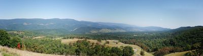
This region spans eight counties in northeast West Virginia with broad valleys shaped by river systems. The landscape is drained by the Potomac River, Cacapon River, and Shenandoah tributaries that flow through the area.
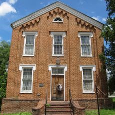
The region played a key role when West Virginia separated from Virginia and became its own state in 1863. Berkeley, Hampshire, Hardy, Jefferson, and Morgan Counties were central to this division.
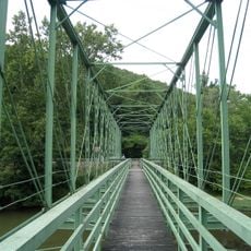
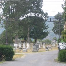
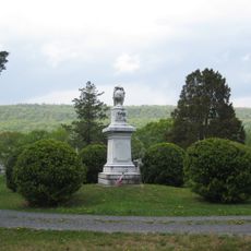
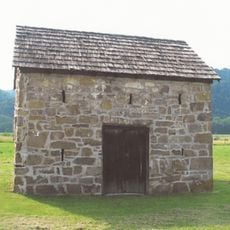
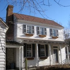
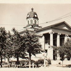
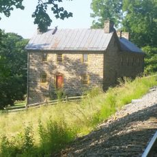
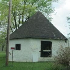
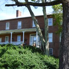
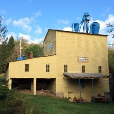
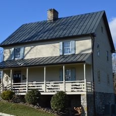
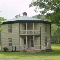
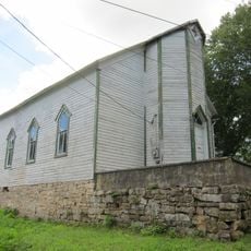
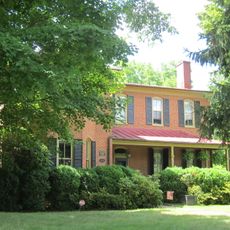
The region holds strong ties to its past through museums and historical sites that dot its communities. You can encounter craft traditions and monuments throughout the area that shape how locals connect with their heritage.
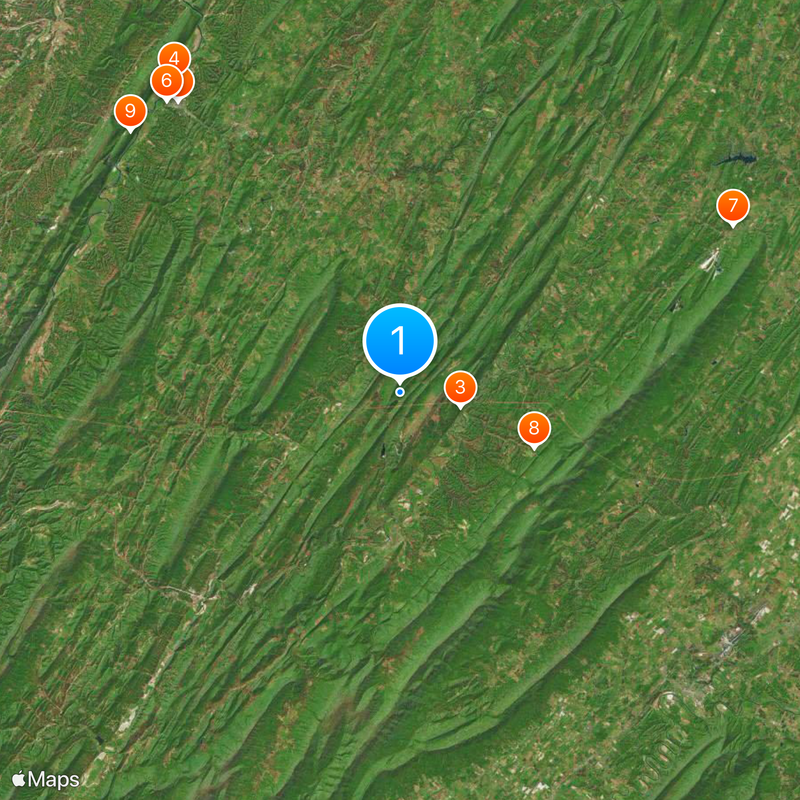
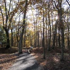
The area connects easily to Washington DC through Interstate 81, making it accessible by car. US-522 and US-340 also link to outdoor recreation and historical sites throughout the region.
The area holds a striking geographical contrast: it contains both the highest and lowest elevation points within West Virginia. Spruce Knob rises as the highest peak while Harpers Ferry sits at the lowest point.
The community of curious travelers
AroundUs brings together thousands of curated places, local tips, and hidden gems, enriched daily by 60,000 contributors worldwide.