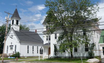
Conway, town in New Hampshire
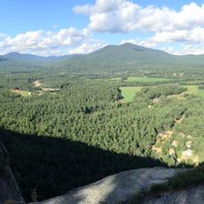
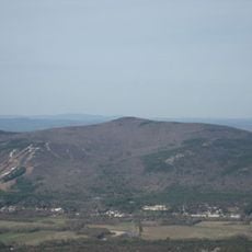
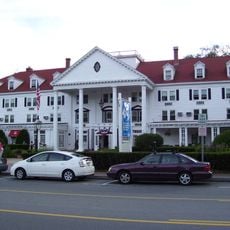
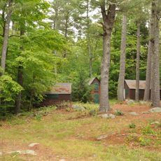
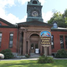
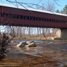
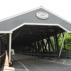
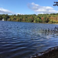
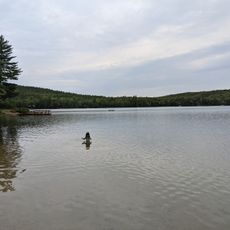
Conway is a town in Carroll County, New Hampshire, located in the New England region. The community spreads across a rural landscape shaped by forests, river valleys, and mountain views that define the area's character.
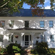
Conway was founded in the 18th century as a settlement in what was then Massachusetts territory before becoming part of New Hampshire. Early growth depended on local resources and the arrival of settlers who built communities in this rural landscape.
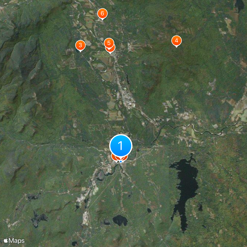
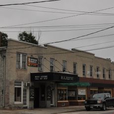
As a rural town, Conway is best explored by car since attractions are spread across the area. Most visitors use it as a base for outdoor activities in the surrounding forests and mountains.
The community of curious travelers
AroundUs brings together thousands of curated places, local tips, and hidden gems, enriched daily by 60,000 contributors worldwide.