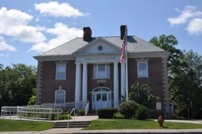
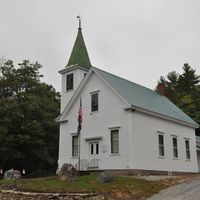
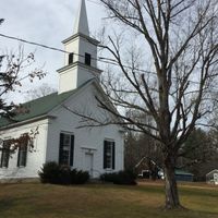
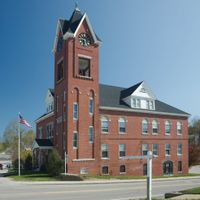
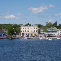
Carroll County, Administrative county in eastern New Hampshire, United States
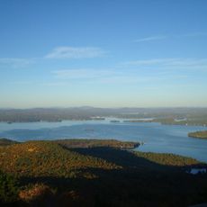
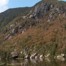
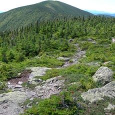
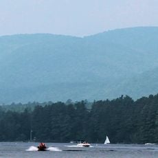
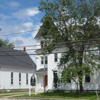
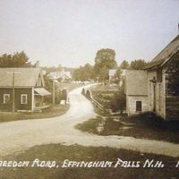
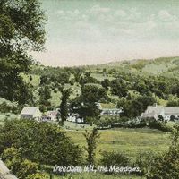
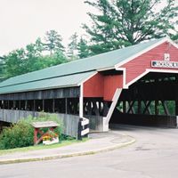
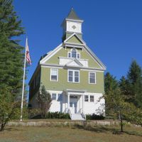
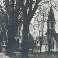
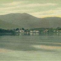
Carroll County is an administrative division in eastern New Hampshire with Ossipee as its county seat and comprises nineteen municipalities. The region combines mountains, lakes, and rural communities into a cohesive landscape.
The county was established in 1840 from sections of Strafford County and named after Charles Carroll, the last surviving signer of the Declaration of Independence. Its creation represented a significant administrative reorganization in northern New England.
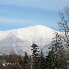
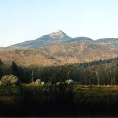
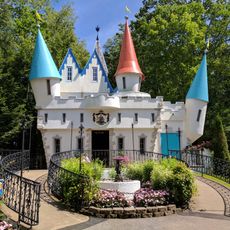
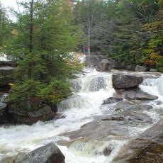
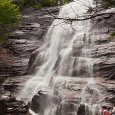
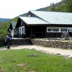
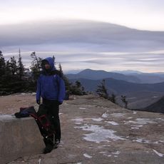
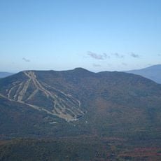
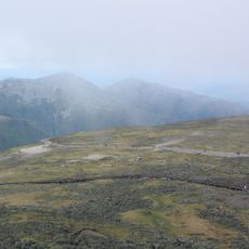
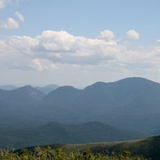
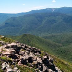
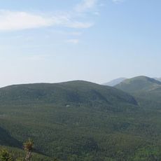
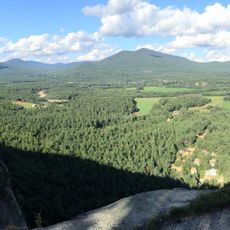
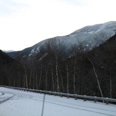
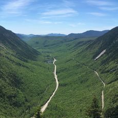
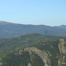
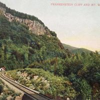
White Mountain National Forest extends into Carroll County, providing outdoor activities through multiple ski areas including Cranmore Mountain, Attitash, and Black Mountain.
The Registry of Deeds office in Ossipee on Water Village Road handles document recording and public record searches. Services are available Monday through Friday for those needing to view or register documents.
The county maintains distinct political divisions between its northern and southern regions, with the north showing liberal tendencies and the south expressing conservative preferences.
Location: New Hampshire
Inception: 1840
Capital city: Ossipee
Shares border with: Oxford County, Strafford County, Belknap County, York County, Grafton County, Coös County
Website: http://carrollcountynh.net
GPS coordinates: 43.82261,-71.18159
Latest update: December 7, 2025 10:03
Mount Washington
50.8 km
Mount Washington Hotel
52.6 km
Castle in the Clouds
15.4 km
Mount Chocorua
16.4 km
Funspot
33.2 km
Mount Major
35.4 km
Conway Scenic Railroad
25.8 km
Story Land
32.7 km
Diana's Baths
27.7 km
Arethusa Falls
39.8 km
Kimball Castle
31 km
Willey House, New Hampshire
43.6 km
Mount Osceola
34.7 km
Tip-Top House
50.8 km
Mount Tecumseh
34.1 km
Mount Washington State Park
50.8 km
Mount Carrigain
36.9 km
Pemigewasset Wilderness
42.5 km
Mount Pierce
47.4 km
Wildcat Mountain
48.6 km
Carter Dome
49.5 km
Madison Boulder
12.2 km
Gunstock Mountain
36.7 km
Crawford Path
47.8 km
Echo Lake-Cathedral Ledge State Park
25.7 km
Mount Willey
44.5 km
Crawford Notch State Park
43.6 km
Mount Jackson
45.1 kmVisited this place? Tap the stars to rate it and share your experience / photos with the community! Try now! You can cancel it anytime.
Discover hidden gems everywhere you go!
From secret cafés to breathtaking viewpoints, skip the crowded tourist spots and find places that match your style. Our app makes it easy with voice search, smart filtering, route optimization, and insider tips from travelers worldwide. Download now for the complete mobile experience.
A unique approach to discovering new places❞
— Le Figaro
All the places worth exploring❞
— France Info
A tailor-made excursion in just a few clicks❞
— 20 Minutes