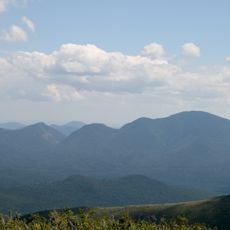
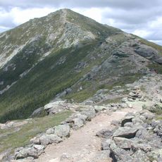
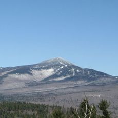
Mount Osceola, Mountain summit in White Mountains, New Hampshire, US
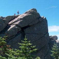
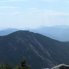
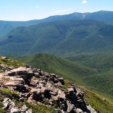
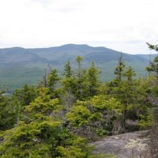
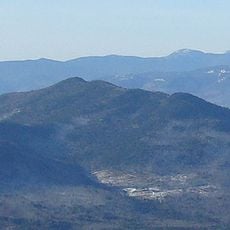
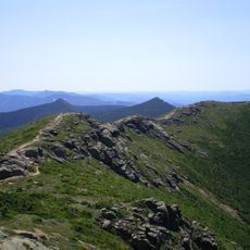
Mount Osceola is a summit in the White Mountain National Forest in New Hampshire, rising above 4,300 feet (about 1,310 m) with forested slopes and exposed granite ledges near the top. The trail opens up close to the summit, where the trees thin out and the surrounding ridge line comes into view.
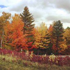
The mountain takes its name from Osceola, a Seminole leader of the 19th century known for resisting the forced removal of his people. Naming peaks after Native American figures was a pattern among European settlers across New England, leaving traces of that history in the landscape today.
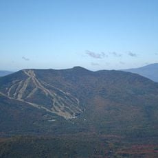
This peak is part of the New England Four Thousand Footer Club, a hiking challenge that draws people who want to summit all mountains above 4,000 feet in the region. The challenge creates a sense of community among hikers who share this ambitious goal.
The main trail starts from Tripoli Road and takes several hours to complete round trip, so an early start makes the day more comfortable. The path gets muddy after rain, so solid hiking boots with good grip are worth wearing from the trailhead.
A fire lookout tower once stood at the summit and was used by forest rangers to watch for signs of fire across the surrounding woods until the 1970s. A few traces of its base are still visible on the ground, quietly marking what once stood there.
The community of curious travelers
AroundUs brings together thousands of curated places, local tips, and hidden gems, enriched daily by 60,000 contributors worldwide.