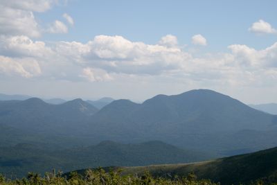
Mount Carrigain, Mountain summit in White Mountains, New Hampshire, United States
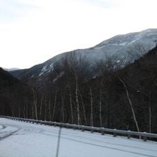
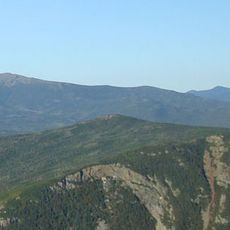
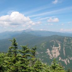
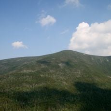
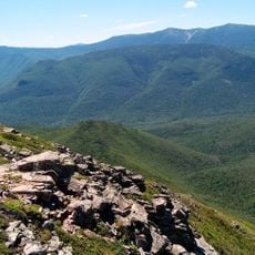
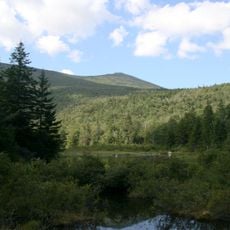
Mount Carrigain is a summit in the White Mountains with a distinctive rounded shape that rises to about 4,680 feet. The peak features an observation tower at the top that offers wide views across the surrounding peaks above 4,000 feet.
The first documented ascent took place in 1857 when Arnold Guyot, S. Hastings Grant, and guide Bill Hatch reached the summit. This early climb was part of the scientific exploration of the mountain range during the 1800s.
The peak carries the name of Phillip Carrigain, a New Hampshire state official who served from 1805 to 1810. The name honors an important figure from the state's early governance.
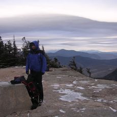
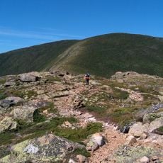
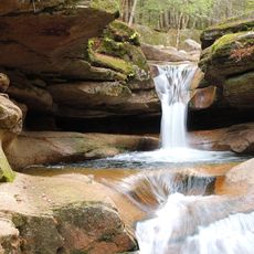
The hike up Signal Ridge Trail takes roughly four to six hours for the round trip and involves steady climbing, especially in the upper sections. The footing becomes steeper and more rocky near the top, so good boots and careful attention are helpful for safety.
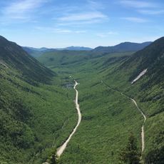
Meltwater and rainfall at the summit drain in three separate directions, feeding the Sawyer River, Carrigain Brook, and the East Branch of the Pemigewasset River. This water split makes the peak a meeting point of different watershed systems.
The community of curious travelers
AroundUs brings together thousands of curated places, local tips, and hidden gems, enriched daily by 60,000 contributors worldwide.