Hubbard Brook Experimental Forest

Log in to your account

AroundUs is a community-driven map of interesting places, built by curious explorers like you. It grows with every review, story, and photo you share.
Connect to save your favorite spots, contribute locations, and create personalized routes.
Continue with Google
Continue with Apple
Continue with X
Continue with Facebook
Continue with email
By continuing, you accept our Terms and Conditions and our Privacy Policy
Create an account
Add to collection
Map
Suggest a change
Share

Hubbard Brook Experimental Forest, Ecological research station in White Mountains, United States

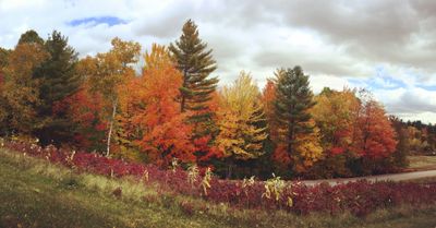
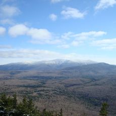
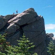
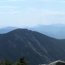
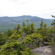
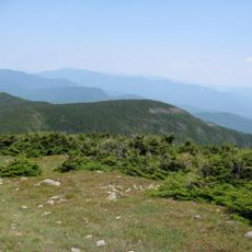
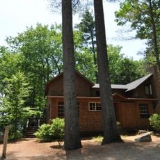
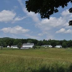
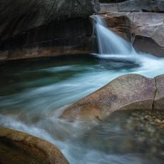
Hubbard Brook Experimental Forest is a research station in the White Mountains covering about 3,140 hectares of hardwood forest in a valley with elevations between 222 and 1,015 meters. The Robert S. Pierce Laboratory provides research facilities, dormitories, and administrative offices where scientists conduct long-term ecological studies.

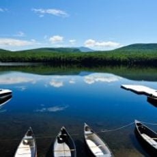
The station was established in 1955 when scientists began installing monitoring equipment on streams to study relationships between forest cover and water quality. This unbroken observation record is among the world's most valuable for understanding forest change.

The location serves as a hub for scientific collaboration where researchers from different universities work together to study forest ecology and translate their findings into environmental protection measures. This work has transformed our understanding of how forests, water, and human activity are interconnected.

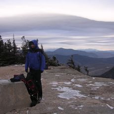
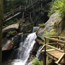
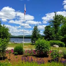
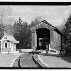
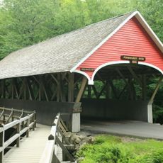
The site is accessible via walking and hiking trails that wind through different forest types, allowing visitors to explore the landscape firsthand. The best time to visit is during the growing season from spring through fall when trails are easiest to navigate.

Nine separate watersheds function as isolated systems where scientists can track how nutrients circulate through the ecosystem with exceptional precision. This isolation makes it possible to measure changes that would be difficult to detect elsewhere.

Location: New Hampshire

Inception: 1976

GPS coordinates: 43.93333,-71.75000

Latest update: December 8, 2025 19:56

Photos
Around this place
Mount Moosilauke
United States of America

Mount Moosilauke

12 km
Flume Gorge
United States of America

Flume Gorge

19.6 km
Franconia Notch State Park
United States of America

Franconia Notch State Park

24 km
Mount Osceola
United States of America

Mount Osceola

18.8 km
United States of America

Mount Tecumseh

15.9 km
Lost River Reservation
United States of America

Lost River Reservation

11.9 km
Mount Liberty
United States of America

Mount Liberty

22.1 km
Mount Flume
United States of America

Mount Flume

21.8 km
White Mountain Central Railroad
United States of America

White Mountain Central Railroad

13.9 km
Whale's Tale Water Park
United States of America

Whale's Tale Water Park

16.2 km
Camp Walt Whitman
United States of America

Camp Walt Whitman

17.9 km
Lake Tarleton
United States of America

Lake Tarleton

17.7 km
Sandwich Mountain
United States of America

Sandwich Mountain

20.5 km
United States of America

East Peak Mount Osceola

20.1 km
United States of America

Scar Ridge

16.3 km
Blair Bridge
United States of America

Blair Bridge

15.3 km
Mount Blue
United States of America

Mount Blue

12.2 km
Rockywold-Deephaven Camps
United States of America

Rockywold-Deephaven Camps

24.1 km
United States of America

Lake Tarleton State Park

18.9 km
True Farm
United States of America

True Farm

24.2 km
Chapel of the Holy Cross
United States of America

Chapel of the Holy Cross

20.4 km
Old Grafton County Courthouse
United States of America

Old Grafton County Courthouse

20.1 km
Norman and Marion Perry House
United States of America

Norman and Marion Perry House

9.7 km
Plymouth Historic District
United States of America

Plymouth Historic District

20.2 km
North Holderness Freewill Baptist Church-Holderness Historical Society Building
United States of America

North Holderness Freewill Baptist Church-Holderness Historical Society Building

23.1 km
The Basin
United States of America

The Basin

21.6 km
Clark's Bridge
United States of America

Clark's Bridge

14.1 km
Flume Covered Bridge
United States of America

Flume Covered Bridge

19.4 km
Show the full map
Reviews

Visited this place? Tap the stars to rate it and share your experience / photos with the community! Try now! You can cancel it anytime.

« Hubbard Brook Experimental Forest - Ecological research station in White Mountains, United States » is provided by Around Us (aroundus.com). Images and texts are derived from Wikimedia project under a Creative Commons license. You are allowed to copy, distribute, and modify copies of this page, under the conditions set by the license, as long as this note is clearly visible.

Discover hidden gems everywhere you go!

From secret cafés to breathtaking viewpoints, skip the crowded tourist spots and find places that match your style. Our app makes it easy with voice search, smart filtering, route optimization, and insider tips from travelers worldwide. Download now for the complete mobile experience.

Around Us App Screenshot

A unique approach to discovering new places

Le Figaro

All the places worth exploring

France Info

A tailor-made excursion in just a few clicks

20 Minutes