Enable Location

We need your location to show you interesting places around you

Discover nearby places

Find interesting locations and hidden gems around you

Precise directions

Get accurate directions and distances to places

Your location is never shared with other users. It's only used when you tap the location button.

LaFollette

Log in to your account

Start exploring — it's free

Trusted by 63,884 travelers worldwide

Continue with Google
Continue with Apple
or

We will send you a code to connect

By continuing, you accept our Terms and Conditions and our Privacy Policy

Check your inbox

We've sent a pincode in your inbox. Please enter the code below.

Discussion Reviews 1 Photos
19.8k Popularity

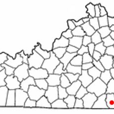
LaFollette, city in Campbell County, Tennessee, United States of America

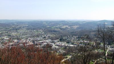
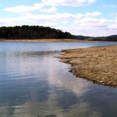
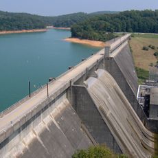
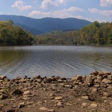
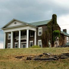
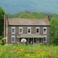
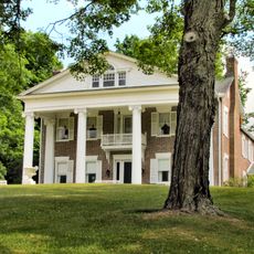
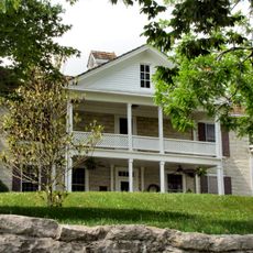
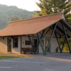
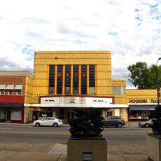
LaFollette is a small city in Campbell County, Tennessee, located in a mountainous region next to the large Norris Lake. The city displays a mix of older buildings from its industrial era and modern facilities, with streets retaining the original wide street layout design from the late 1800s.

Harvey and Grant LaFollette founded the city in 1890 on over 37,000 acres of land, creating a company for coal, iron, and railroad operations. The city was officially established in 1897 and grew rapidly until the business collapsed in the 1920s, but the community persisted and continued to develop.

The name LaFollette comes from Harvey and Grant LaFollette, the brothers who founded the town in 1890. The streets and buildings still reflect the planned layout from that era, especially the unusually wide Main Street that formed the center of the community from the start.

The city is easily accessible via Interstate 75 and US Route 25W, providing visitors easy access to Norris Lake and local parks. Locally, there is a community center, a public library, and several small parks for recreation and picnics.

The city was planned by famous writer John Fox Jr., who designed the streets and infrastructure, making it a rare example of a deliberately planned community from the late 1800s. This careful planning remains visible today in the wide Main Street and regular street pattern.

The community of curious travelers

AroundUs brings together thousands of curated places, local tips, and hidden gems, enriched daily by 60,000 contributors worldwide.

Start exploring
Location
Inception
1897
Elevation above the sea
327 m
GPS coordinates
36.37500,-84.12750
Latest update
February 16, 2026 22:20
Around this place
Norris Lake
United States of America

Norris Lake

23.4 km
Norris Dam
United States of America

Norris Dam

17.1 km
Museum of Appalachia
United States of America

Museum of Appalachia

22.2 km
Norris Dam State Park
United States of America

Norris Dam State Park

15.2 km
Big Ridge State Park
United States of America

Big Ridge State Park

22.4 km
Cove Lake State Park
United States of America

Cove Lake State Park

10.5 km
Green McAdoo School
United States of America

Green McAdoo School

30.4 km
United Church, The Chapel on the Hill
United States of America

United Church, The Chapel on the Hill

39.7 km
Kentucky Splash Waterpark
United States of America

Kentucky Splash Waterpark

39.5 km
Alexander Inn
United States of America

Alexander Inn

39.9 km
LaFollette House
United States of America

LaFollette House

1.3 km
Alexander Bishop House
United States of America

Alexander Bishop House

36.6 km
Cumberland Inn Museum
United States of America

Cumberland Inn Museum

39.3 km
Oak Ridge Historic District
United States of America

Oak Ridge Historic District

40.2 km
Kincaid-Howard House
United States of America

Kincaid-Howard House

7.8 km
Luther Brannon House
United States of America

Luther Brannon House

37.5 km
J. B. Jones House
United States of America

J. B. Jones House

40.9 km
A.E. Perkins House
United States of America

A.E. Perkins House

6.8 km
Kincaid-Ausmus House
United States of America

Kincaid-Ausmus House

31.9 km
Kincaid House
United States of America

Kincaid House

29.2 km
Smith-Little-Mars House
United States of America

Smith-Little-Mars House

19.4 km
McClain-Ellison House
United States of America

McClain-Ellison House

20 km
Lane Theater
United States of America

Lane Theater

40.9 km
Indian Mountain State Park
United States of America

Indian Mountain State Park

23.4 km
Ritz Theatre
United States of America

Ritz Theatre

30.6 km
Cross Mountain Miners' Circle
United States of America

Cross Mountain Miners' Circle

21.6 km
Fraterville Miners' Circle Cemetery
United States of America

Fraterville Miners' Circle Cemetery

18.3 km
Union County Courthouse
United States of America

Union County Courthouse

32.6 km
Show the full map
Reviews
Share your experience

No review yet

Discussions
Start a discussion...

No discussion yet

« LaFollette - city in Campbell County, Tennessee, United States of America » is provided by Around Us (aroundus.com). Images and texts are derived from Wikimedia project under a Creative Commons license. You are allowed to copy, distribute, and modify copies of this page, under the conditions set by the license, as long as this note is clearly visible.

Discover hidden gems everywhere you go!

From secret cafés to breathtaking viewpoints, skip the crowded tourist spots and find places that match your style. Our app makes it easy with voice search, smart filtering, route optimization, and insider tips from travelers worldwide. Download now for the complete mobile experience.

Around Us App Screenshot

A unique approach to discovering new places

Le Figaro

All the places worth exploring

France Info

A tailor-made excursion in just a few clicks

20 Minutes

Around Us
Travel Guide & Maps
Download

Send to your phone

QR Code
1

Open the camera app on your mobile.

2

Point at the QR code with your camera. A notification will appear.

3

Tap the notification to open the link.