Chest opened
+${chestReward.xp} XP
Explorer
NOUVEAU ×${chestReward.collectible.quantity}
tapez pour fermer
Chest locked

Open chests in the app

Around Us is built for your phone — chests unlock when you walk, explore and capture nearby places.

Enable Location

We need your location to show you interesting places around you

Discover nearby places

Find interesting locations and hidden gems around you

Precise directions

Get accurate directions and distances to places

Your location is never shared with other users. It's only used when you tap the location button.

Copperopolis

Log in to your account

Start exploring — it's free

Trusted by 72,889 travelers worldwide

Continue with Google
Continue with Apple
or

We will send you a code to connect

By continuing, you accept our Terms and Conditions and our Privacy Policy

Check your inbox

We've sent a pincode in your inbox. Please enter the code below.

Discussion Reviews 3 Photos
22.1k Popularity

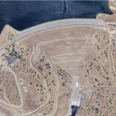
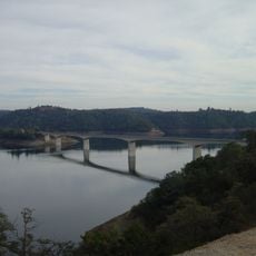
Copperopolis, Historical mining site in Calaveras County, California, US.

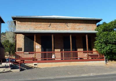
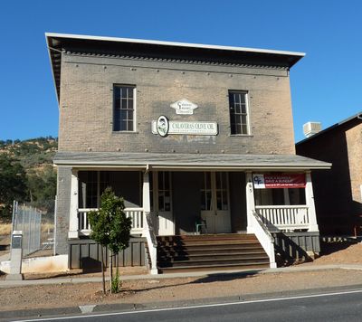
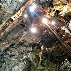
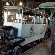
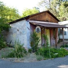
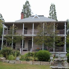
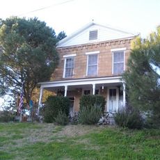
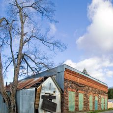
Copperopolis is a rural settlement in Calaveras County that retains various structures from its mining past scattered across the countryside. Old shafts, machinery parts, and mining buildings can still be seen throughout the area today.

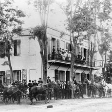
The settlement was established in 1860 when miners discovered copper deposits and started extracting ore from the land. Growth accelerated during the Civil War period when copper became highly sought after for military production.

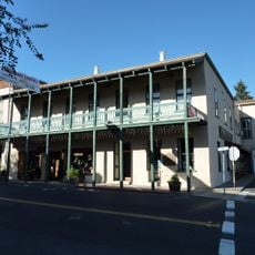
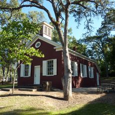
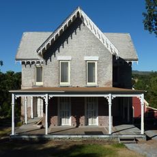
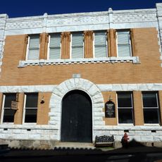
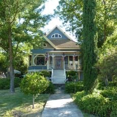
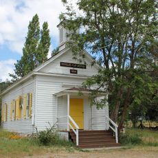
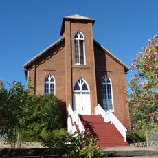
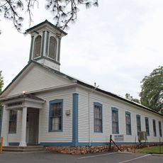
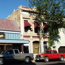
The four buildings listed on the National Register of Historic Places include the Copperopolis Armory, Congregational Church, Honigsberger Store, and Reed's Store.

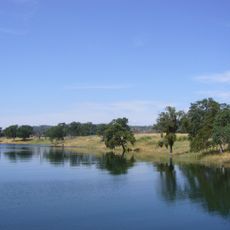
The site can be explored on foot and is generally open for visitors, though sturdy footwear is advisable due to uneven ground and old mining hazards. Bring water and a hat as shade is limited in this rural area.

The mines produced over 72 million pounds of copper valued at more than $12 million before their closure in 1946, marking the end of major mining operations.

The community of curious travelers

AroundUs brings together thousands of curated places, local tips, and hidden gems, enriched daily by 60,000 contributors worldwide.

Start exploring
Location
Elevation above the sea
304 m
GPS coordinates
37.98111,-120.64194
Latest update
December 7, 2025 10:04
Around this place
New Melones Lake
United States of America

New Melones Lake

10.8 km
Moaning Cavern
United States of America

Moaning Cavern

18.3 km
Railtown 1897 State Historic Park
United States of America

Railtown 1897 State Historic Park

19.9 km
Murphys Hotel
United States of America

Murphys Hotel

23.2 km
Lake Tulloch
United States of America

Lake Tulloch

10.7 km
New Hogan Lake
United States of America

New Hogan Lake

24.1 km
New Don Pedro Dam
United States of America

New Don Pedro Dam

36.9 km
Mercer Caverns
United States of America

Mercer Caverns

23.8 km
California Caverns
United States of America

California Caverns

27.3 km
Angels Hotel
United States of America

Angels Hotel

12.9 km
Pardee Dam
United States of America

Pardee Dam

35.7 km
Knight's Ferry Bridge
United States of America

Knight's Ferry Bridge

18.1 km
Salt Spring Valley Reservoir
United States of America

Salt Spring Valley Reservoir

11.3 km
Track Bus No. 19
United States of America

Track Bus No. 19

20 km
Altaville Grammar School
United States of America

Altaville Grammar School

13.3 km
Thorn House
United States of America

Thorn House

24.1 km
Calaveras County Courthouse
United States of America

Calaveras County Courthouse

24.2 km
Archie Stevenot Bridge
United States of America

Archie Stevenot Bridge

12.7 km
John J. Snyder House
United States of America

John J. Snyder House

24.4 km
Douglas Flat School
United States of America

Douglas Flat School

22.4 km
Sam Choy Brick Store
United States of America

Sam Choy Brick Store

13.4 km
Copperopolis Congregational Church
United States of America

Copperopolis Congregational Church

330 m
Utica Mansion
United States of America

Utica Mansion

13.3 km
Abraham Schell House
United States of America

Abraham Schell House

18.3 km
Murphys Grammar School
United States of America

Murphys Grammar School

23.6 km
Calaveras County Bank
United States of America

Calaveras County Bank

13.3 km
Gamble Building and Miner's Bean Kettle
United States of America

Gamble Building and Miner's Bean Kettle

38.1 km
Jacksonville Road Bridge
United States of America

Jacksonville Road Bridge

30.6 km
Show the full map
Reviews
Share your experience

No review yet

Discussions
Start a discussion...

No discussion yet

« Copperopolis - Historical mining site in Calaveras County, California, US » is provided by Around Us (aroundus.com). Images and texts are derived from Wikimedia project under a Creative Commons license. You are allowed to copy, distribute, and modify copies of this page, under the conditions set by the license, as long as this note is clearly visible.

Discover hidden gems everywhere you go!

From secret cafés to breathtaking viewpoints, skip the crowded tourist spots and find places that match your style. Our app makes it easy with voice search, smart filtering, route optimization, and insider tips from travelers worldwide. Download now for the complete mobile experience.

Around Us App Screenshot

A unique approach to discovering new places

Le Figaro

All the places worth exploring

France Info

A tailor-made excursion in just a few clicks

20 Minutes

Around Us
Travel Guide & Maps
Download

Send to your phone

QR Code
1

Open the camera app on your mobile.

2

Point at the QR code with your camera. A notification will appear.

3

Tap the notification to open the link.