Chest opened
+${chestReward.xp} XP
Explorer
NOUVEAU ×${chestReward.collectible.quantity}
tapez pour fermer
Chest locked

Open chests in the app

Around Us is built for your phone — chests unlock when you walk, explore and capture nearby places.

Enable Location

We need your location to show you interesting places around you

Discover nearby places

Find interesting locations and hidden gems around you

Precise directions

Get accurate directions and distances to places

Your location is never shared with other users. It's only used when you tap the location button.

Carrollton

Log in to your account

Start exploring — it's free

Trusted by 72,882 travelers worldwide

Continue with Google
Continue with Apple
or

We will send you a code to connect

By continuing, you accept our Terms and Conditions and our Privacy Policy

Check your inbox

We've sent a pincode in your inbox. Please enter the code below.

Discussion Reviews 1 Photos
15.4k Popularity

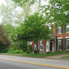
Carrollton, county seat in Kentucky

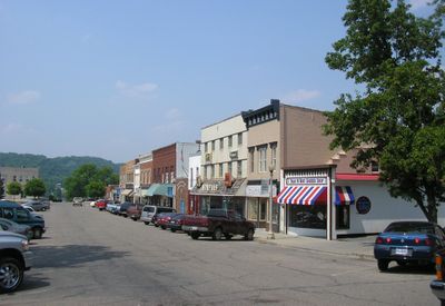
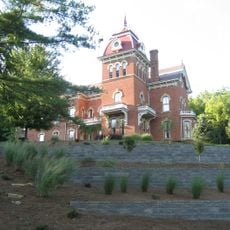
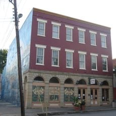
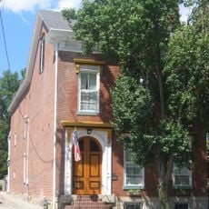
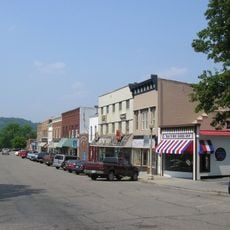
Carrollton is a city in Carroll County in western Georgia, about 50 miles from Atlanta. The city is built around the central Adamson Square and serves as a center for education, business, and healthcare with friendly streets and local shops.

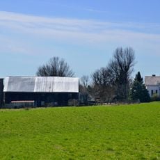
The city was founded in the late 1820s when the county seat moved to Carrollton. The arrival of the railroad in the 19th century was crucial to its growth and allowed farmers to ship crops, especially cotton, to distant markets.

Carrollton is named after Charles Carroll of Carrollton, a signer of the Declaration of Independence. The city has a lively arts scene with the Carrollton Center for the Arts and regular festivals like Mayfest on Adamson Square, where music, crafts, and local culture are celebrated.

Carrollton has a Norfolk Southern Railroad station and a small airport called West Georgia Regional Airport just north of the city. The 18-mile Greenbelt, a paved path around the city, is ideal for biking and walking.

From 1978 to 2001, Carrollton was home to the world's largest music record manufacturing plant run by Sony Music. The city also hosted a major Walmart distribution center that managed online sales, playing an important role in early e-commerce.

The community of curious travelers

AroundUs brings together thousands of curated places, local tips, and hidden gems, enriched daily by 60,000 contributors worldwide.

Start exploring
Location
Elevation above the sea
147 m
GPS coordinates
38.67720,-85.17140
Latest update
February 20, 2026 00:00
Around this place
Kentucky Speedway
United States of America

Kentucky Speedway

22.5 km
Clifty Falls State Park
United States of America

Clifty Falls State Park

22.6 km
Markland Locks and Dam
United States of America

Markland Locks and Dam

21 km
General Butler State Resort Park
United States of America

General Butler State Resort Park

1.7 km
Lanier Mansion
United States of America

Lanier Mansion

19.8 km
Milton-Madison Bridge
United States of America

Milton-Madison Bridge

18.2 km
Benjamin Schenck Mansion
United States of America

Benjamin Schenck Mansion

11.8 km
Madison Historic District
United States of America

Madison Historic District

19.3 km
Charles L. Shrewsbury House
United States of America

Charles L. Shrewsbury House

19.4 km
Eagle Station meteorite
United States of America

Eagle Station meteorite

19 km
Schofield House
United States of America

Schofield House

19.4 km
Hoosier Theatre
United States of America

Hoosier Theatre

12 km
Edward and George Cary Eggleston House
United States of America

Edward and George Cary Eggleston House

11.6 km
Mathias Wolf Farm
United States of America

Mathias Wolf Farm

15.4 km
Switzerland County Courthouse
United States of America

Switzerland County Courthouse

11.8 km
Gen. William O. Butler House
United States of America

Gen. William O. Butler House

601 m
Hunter's Bottom Historic District
United States of America

Hunter's Bottom Historic District

11.7 km
Lemuel Allen Farm
United States of America

Lemuel Allen Farm

15.6 km
Crawford-Whitehead-Ross House
United States of America

Crawford-Whitehead-Ross House

19.7 km
Carrollton Historic District
United States of America

Carrollton Historic District

596 m
Coleman House
United States of America

Coleman House

16 km
Thomas T. Wright House
United States of America

Thomas T. Wright House

5.7 km
Ghent Historic District
United States of America

Ghent Historic District

11.8 km
William L. Coleman House
United States of America

William L. Coleman House

18.4 km
Venoge Farmstead
United States of America

Venoge Farmstead

9.9 km
Bates House
United States of America

Bates House

15.9 km
House on KY 1492
United States of America

House on KY 1492

13.6 km
Henry Ogburn House
United States of America

Henry Ogburn House

3.7 km
Show the full map
Reviews
Share your experience

No review yet

Discussions
Start a discussion...

No discussion yet

« Carrollton - county seat in Kentucky » is provided by Around Us (aroundus.com). Images and texts are derived from Wikimedia project under a Creative Commons license. You are allowed to copy, distribute, and modify copies of this page, under the conditions set by the license, as long as this note is clearly visible.

Discover hidden gems everywhere you go!

From secret cafés to breathtaking viewpoints, skip the crowded tourist spots and find places that match your style. Our app makes it easy with voice search, smart filtering, route optimization, and insider tips from travelers worldwide. Download now for the complete mobile experience.

Around Us App Screenshot

A unique approach to discovering new places

Le Figaro

All the places worth exploring

France Info

A tailor-made excursion in just a few clicks

20 Minutes

Around Us
Travel Guide & Maps
Download

Send to your phone

QR Code
1

Open the camera app on your mobile.

2

Point at the QR code with your camera. A notification will appear.

3

Tap the notification to open the link.