
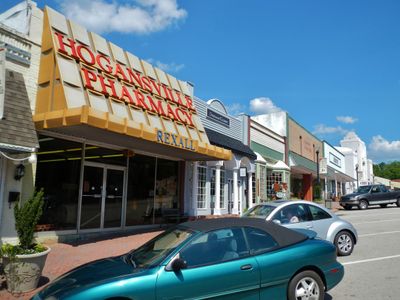
Hogansville, human settlement in Troup County, Georgia, United States of America
Location: Troup County
Elevation above the sea: 217 m
Website: http://cityofhogansville.org/
GPS coordinates: 33.17000,-84.90920
Latest update: March 16, 2025 00:07
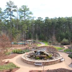
Callaway Gardens
36.6 km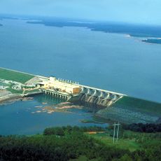
West Point Lake
36.7 km
Wild Animal Safari, Pine Mountain
29.7 km
McIntosh Reserve
31 km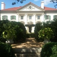
Hills and Dales Estate
19.5 km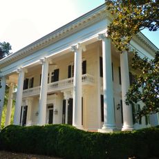
Bellevue
18.7 km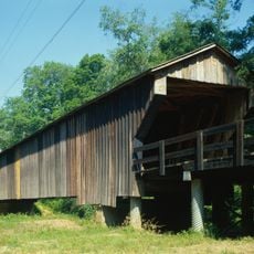
Red Oak Creek Covered Bridge
36.3 km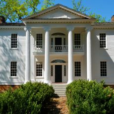
Nutwood
18.3 km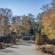
Roscoe-Dunaway Gardens Historic District
35.2 km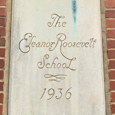
Eleanor Roosevelt School
36.7 km
Coweta County Courthouse
24.9 km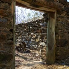
McCosh Grist Mill
31.1 km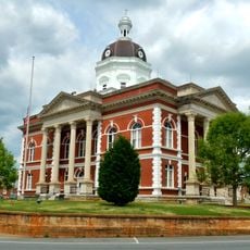
Meriwether County Courthouse
24.2 km
Broad Street Historic District
18.9 km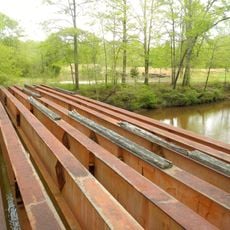
White Oak Creek Covered Bridge
33.5 km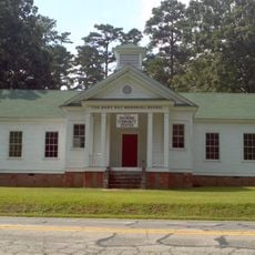
Mary Ray Memorial School
25.7 km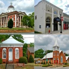
Greenville Historic District
24.2 km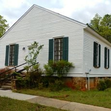
Greenville Presbyterian Church and Cemetery
22.3 km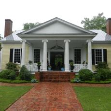
McFarland-Render House
27.7 km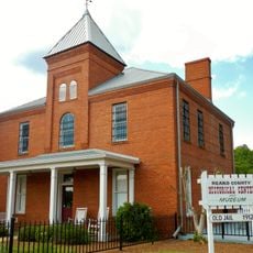
Heard County Jail
21.6 km
Powell Chapel School
29.7 km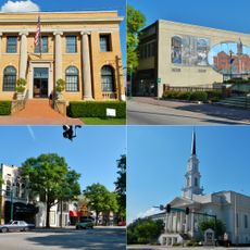
LaGrange Commercial Historic District
18.5 km
The Woodbury Shoppe
36.1 km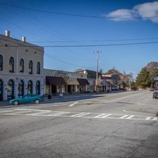
Grantville Historic District
10 km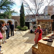
Biblical History Center
22.3 km
Historic Train Depot
25.1 km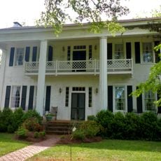
Liberty Hill
21.5 km
Jones–Florence Plantation
18.4 kmVisited this place? Tap the stars to rate it and share your experience / photos with the community! Try now! You can cancel it anytime.
Discover hidden gems everywhere you go!
From secret cafés to breathtaking viewpoints, skip the crowded tourist spots and find places that match your style. Our app makes it easy with voice search, smart filtering, route optimization, and insider tips from travelers worldwide. Download now for the complete mobile experience.

A unique approach to discovering new places❞
— Le Figaro
All the places worth exploring❞
— France Info
A tailor-made excursion in just a few clicks❞
— 20 Minutes