Cohasset, human settlement in Itasca County, Minnesota, United States of America
Location: Itasca County
Elevation above the sea: 391 m
Website: http://cohasset-mn.com
GPS coordinates: 47.26361,-93.62028
Latest update: March 16, 2025 03:05
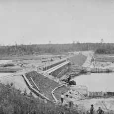
Lake Winnibigoshish
47 km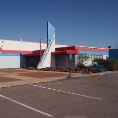
Greyhound Bus Museum
54.9 km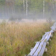
Savanna Portage State Park
59 km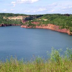
Hill Annex Mine State Park
27.9 km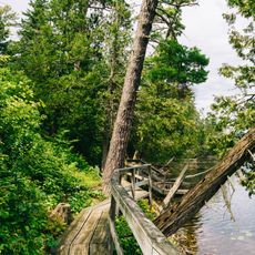
Scenic State Park
51.1 km
The Big Fish
49.8 km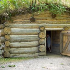
Forest History Center
5.5 km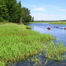
Schoolcraft State Park
14.2 km
Bowstring State Forest
39.6 km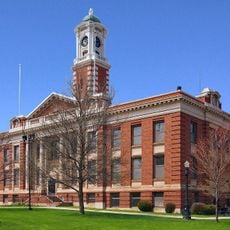
Hibbing City Hall
54.6 km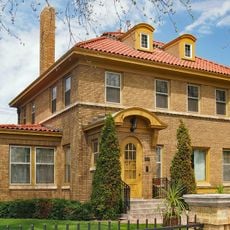
Andrew G. Anderson House
55.2 km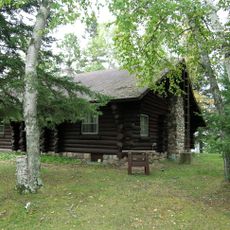
Marcell Ranger Station
37.4 km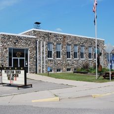
Bigfork Village Hall
53.5 km
Sons of Italy Hall
54.9 km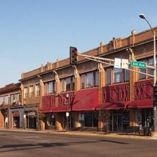
East Howard Street Commercial Historic District
54.5 km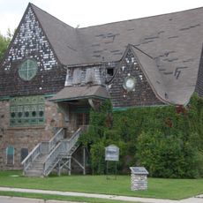
Coleraine Methodist Episcopal Church
14.8 km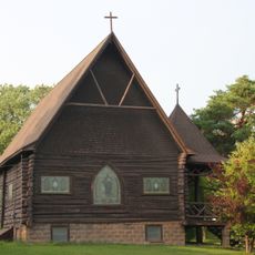
Church of the Good Shepherd
14.7 km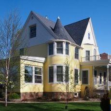
Mitchell–Tappan House
54.5 km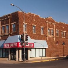
Delvic Building
54.3 km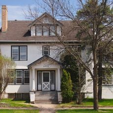
Emmett Butler House
53.9 km
Thunder Alley XL
9.1 km
Remer State Forest
21.4 km
Scenic State Park CCC/WPA/Rustic Style Historic Resources
51 km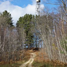
Draper Lookout Tower
44.1 km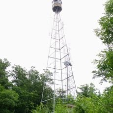
Quadna Fire Tower
33.6 km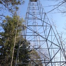
Farley Hill Lookout Tower
51.6 km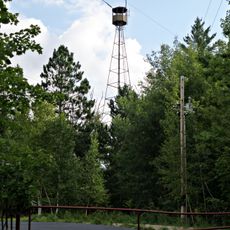
Coleraine Fire Lookout Tower
13.1 km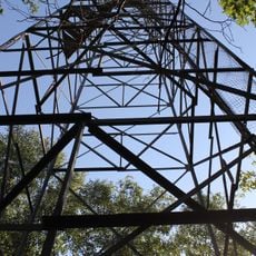
Ball Bluff Lookout Tower
46 kmVisited this place? Tap the stars to rate it and share your experience / photos with the community! Try now! You can cancel it anytime.
Discover hidden gems everywhere you go!
From secret cafés to breathtaking viewpoints, skip the crowded tourist spots and find places that match your style. Our app makes it easy with voice search, smart filtering, route optimization, and insider tips from travelers worldwide. Download now for the complete mobile experience.

A unique approach to discovering new places❞
— Le Figaro
All the places worth exploring❞
— France Info
A tailor-made excursion in just a few clicks❞
— 20 Minutes