Enable Location

We need your location to show you interesting places around you

Discover nearby places

Find interesting locations and hidden gems around you

Precise directions

Get accurate directions and distances to places

Your location is never shared with other users. It's only used when you tap the location button.

Itasca County

Log in to your account

Start exploring — it's free

Trusted by 62,943 travelers worldwide

Continue with Google
Continue with Apple
or

We will send you a code to connect

By continuing, you accept our Terms and Conditions and our Privacy Policy

Check your inbox

We've sent a pincode in your inbox. Please enter the code below.

Discussion Reviews 2 Photos
20.6k Popularity

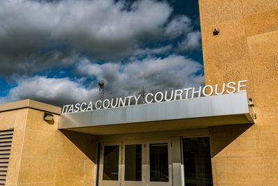
Itasca County, Administrative county in northeastern Minnesota, US.

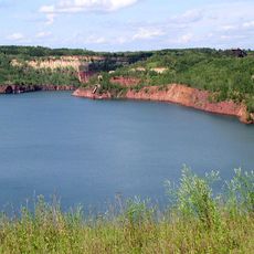
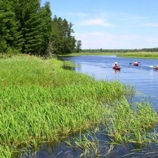
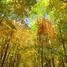
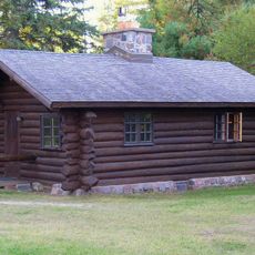
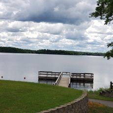
Itasca County is an administrative region in northeastern Minnesota containing over 1,400 lakes and extensive forest lands. Grand Rapids functions as the county seat, serving as the main center for government and community services.

The county was established in 1849 and initially encompassed a much larger territory that was later divided into several separate counties. This territorial division shaped the region's current boundaries and development.

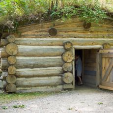
The Bois Forte and Leech Lake reservations shape the visible culture and community life throughout the county today. You encounter this heritage in local gatherings, traditions, and the everyday character of the region.

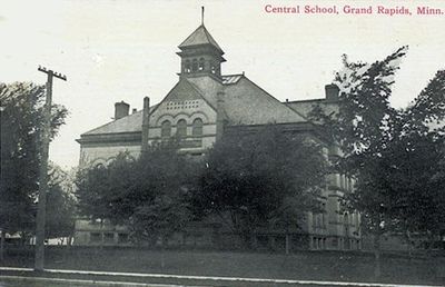
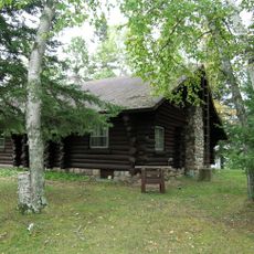
Grand Rapids serves as the hub for healthcare services, government offices, and schools throughout the area. Here you will find the main facilities and resources for daily needs and visitor information.

The name derives from a Latin phrase referencing the source of the Mississippi River, one of North America's most important waterways. This connection to the river's origin remains part of the region's identity.

The community of curious travelers

AroundUs brings together thousands of curated places, local tips, and hidden gems, enriched daily by 60,000 contributors worldwide.

Start exploring
Location
Inception
October 27, 1849
Capital city
Grand Rapids
Shares border with
Koochiching County, Aitkin County, St. Louis County, Cass County, Beltrami County
GPS coordinates
47.51000,-93.63000
Latest update
December 22, 2025 18:46
Around this place
Lake Winnibigoshish
United States of America

Lake Winnibigoshish

41.9 km
Hill Annex Mine State Park
United States of America

Hill Annex Mine State Park

33.5 km
Scenic State Park
United States of America

Scenic State Park

24 km
United States of America

The Big Fish

51.1 km
Forest History Center
United States of America

Forest History Center

31.5 km
Schoolcraft State Park
United States of America

Schoolcraft State Park

34.2 km
United States of America

George Washington State Forest

40.3 km
Bowstring State Forest
United States of America

Bowstring State Forest

36.3 km
United States of America

Big Fork State Forest

6.4 km
United States of America

Battleground State Forest

57.5 km
United States of America

Golden Anniversary State Forest

56.7 km
United States of America

Buena Vista State Forest

61.9 km
United States of America

Blackduck State Forest

55.3 km
United States of America

Cut Foot Sioux Trail

33.1 km
Marcell Ranger Station
United States of America

Marcell Ranger Station

10.5 km
Bigfork Village Hall
United States of America

Bigfork Village Hall

26.1 km
Coleraine Methodist Episcopal Church
United States of America

Coleraine Methodist Episcopal Church

29.1 km
Church of the Good Shepherd
United States of America

Church of the Good Shepherd

29.1 km
Remer State Forest
United States of America

Remer State Forest

44.5 km
Scenic State Park CCC/WPA/Rustic Style Historic Resources
United States of America

Scenic State Park CCC/WPA/Rustic Style Historic Resources

23.9 km
Tioga Pit Beach
United States of America

Tioga Pit Beach

31.9 km
United States of America

Paper Mill Reservoir

31.1 km
United States of America

Egg Lake Impoundment

23.5 km
United States of America

Marcell Experimental Forest

12.8 km
Farley Hill Lookout Tower
United States of America

Farley Hill Lookout Tower

38.3 km
United States of America

Scenic State Park CCC/Rustic Style Service Yard

22.2 km
United States of America

Hiway 6 Impoundment

45.9 km
United States of America

Patrick Stilling Basin

34.9 km
Show the full map
Reviews
Share your experience

No review yet

Discussions
Start a discussion...

No discussion yet

« Itasca County - Administrative county in northeastern Minnesota, US » is provided by Around Us (aroundus.com). Images and texts are derived from Wikimedia project under a Creative Commons license. You are allowed to copy, distribute, and modify copies of this page, under the conditions set by the license, as long as this note is clearly visible.

Discover hidden gems everywhere you go!

From secret cafés to breathtaking viewpoints, skip the crowded tourist spots and find places that match your style. Our app makes it easy with voice search, smart filtering, route optimization, and insider tips from travelers worldwide. Download now for the complete mobile experience.

Around Us App Screenshot

A unique approach to discovering new places

Le Figaro

All the places worth exploring

France Info

A tailor-made excursion in just a few clicks

20 Minutes

Around Us
Travel Guide & Maps
Download

Send to your phone

QR Code
1

Open the camera app on your mobile.

2

Point at the QR code with your camera. A notification will appear.

3

Tap the notification to open the link.