Log in to your account

AroundUs is a community-driven map of interesting places, built by curious explorers like you. It grows with every review, story, and photo you share.
Connect to save your favorite spots, contribute locations, and create personalized routes.
Continue with Google
Continue with Apple
Continue with X
Continue with Facebook
Continue with email
By continuing, you accept our Terms and Conditions and our Privacy Policy
Create an account
Add to collection
Map
Suggest a change
Share

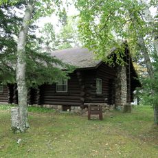
Battleground State Forest, State forest in Cass County, Minnesota.

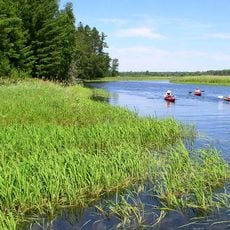
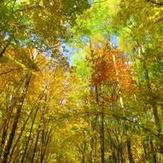
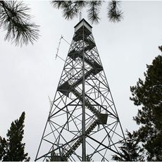
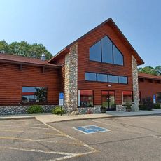
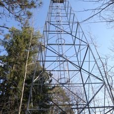
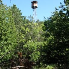
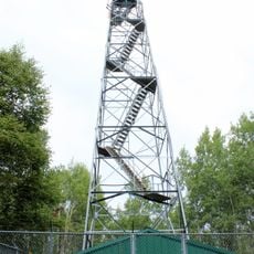
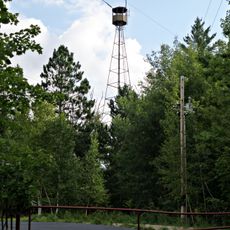
Battleground State Forest is a state forest in Cass County spanning about 17,969 acres (7,270 hectares) of mixed terrain within the broader Chippewa National Forest region in northern Minnesota. The land includes lakes, woodlands, and various terrain types that support outdoor recreation and wildlife habitat.

The state forest was established in 1963 by the Minnesota Department of Natural Resources to protect natural resources and support sustainable forest management. This creation reflected broader efforts to preserve the woodlands and waters of the region for the future.

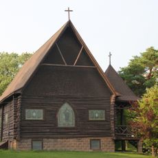
This forest sits partly within the Leech Lake Indian Reservation, connecting visitors with the traditional lands of the Leech Lake Band of Ojibwe people. The presence here carries meaning for those whose families have lived on and cared for these woods for generations.

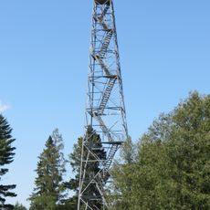
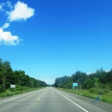
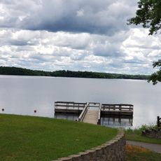
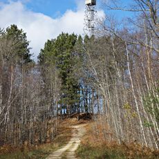
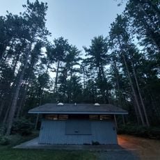
Two public boat launches provide access to Leech Lake, and marked trails run throughout the property for hiking and mountain biking. Visitors should come prepared for variable terrain and weather conditions typical of northern forest areas.

The area sits where two ecological zones meet: the Western Great Lakes Forests and the Northern Lakes and Forests ecosystem. This overlap creates a mix of plant and animal species that varies from what you find in nearby areas.

Location: Cass County

Location: Leech Lake Indian Reservation

Website: https://dnr.state.mn.us/state_forests/forest.html?id=sft00003#homepage

GPS coordinates: 47.12370,-94.13500

Latest update: December 14, 2025 14:45

Photos
Around this place
Lake Winnibigoshish
United States of America

Lake Winnibigoshish

36.5 km
Minnesota State Sanatorium for Consumptives
United States of America

Minnesota State Sanatorium for Consumptives

33.6 km
United States of America

The Big Fish

27.3 km
Forest History Center
United States of America

Forest History Center

44.6 km
Schoolcraft State Park
United States of America

Schoolcraft State Park

27.8 km
Bowstring State Forest
United States of America

Bowstring State Forest

33 km
Badoura State Forest
United States of America

Badoura State Forest

54.1 km
Wilford H. Fawcett House
United States of America

Wilford H. Fawcett House

59.7 km
Nevis Tiger Muskie
United States of America

Nevis Tiger Muskie

56.5 km
Marcell Ranger Station
United States of America

Marcell Ranger Station

62.5 km
Cole Memorial Building
United States of America

Cole Memorial Building

59.5 km
Coleraine Methodist Episcopal Church
United States of America

Coleraine Methodist Episcopal Church

56.5 km
Church of the Good Shepherd
United States of America

Church of the Good Shepherd

56.4 km
Thunder Alley XL
United States of America

Thunder Alley XL

49.3 km
Remer State Forest
United States of America

Remer State Forest

23.2 km
Pequot Fire Lookout Tower
United States of America

Pequot Fire Lookout Tower

59.2 km
Sandtrap Golf Course
United States of America

Sandtrap Golf Course

46.4 km
Tioga Pit Beach
United States of America

Tioga Pit Beach

41.1 km
Draper Lookout Tower
United States of America

Draper Lookout Tower

27.2 km
Leisure Suites
United States of America

Leisure Suites

59.7 km
Norway Beach Swimming Area
United States of America

Norway Beach Swimming Area

40.9 km
Cuba Hill Lookout Tower
United States of America

Cuba Hill Lookout Tower

36.2 km
Quadna Fire Tower
United States of America

Quadna Fire Tower

45.3 km
Farley Hill Lookout Tower
United States of America

Farley Hill Lookout Tower

50 km
Emily Lookout Tower
United States of America

Emily Lookout Tower

51.7 km
Badoura Lookout Tower
United States of America

Badoura Lookout Tower

53.4 km
Kabekona Lookout Tower
United States of America

Kabekona Lookout Tower

57.1 km
Coleraine Fire Lookout Tower
United States of America

Coleraine Fire Lookout Tower

54.7 km
Show the full map
Reviews

Visited this place? Tap the stars to rate it and share your experience / photos with the community! Try now! You can cancel it anytime.

« Battleground State Forest - State forest in Cass County, Minnesota » is provided by Around Us (aroundus.com). Images and texts are derived from Wikimedia project under a Creative Commons license. You are allowed to copy, distribute, and modify copies of this page, under the conditions set by the license, as long as this note is clearly visible.

Discover hidden gems everywhere you go!

From secret cafés to breathtaking viewpoints, skip the crowded tourist spots and find places that match your style. Our app makes it easy with voice search, smart filtering, route optimization, and insider tips from travelers worldwide. Download now for the complete mobile experience.

Around Us App Screenshot

A unique approach to discovering new places

Le Figaro

All the places worth exploring

France Info

A tailor-made excursion in just a few clicks

20 Minutes