Enable Location

We need your location to show you interesting places around you

Discover nearby places

Find interesting locations and hidden gems around you

Precise directions

Get accurate directions and distances to places

Your location is never shared with other users. It's only used when you tap the location button.

Log in to your account

Start exploring — it's free

Trusted by 62,954 travelers worldwide

Continue with Google
Continue with Apple
or

We will send you a code to connect

By continuing, you accept our Terms and Conditions and our Privacy Policy

Check your inbox

We've sent a pincode in your inbox. Please enter the code below.

Big Fork State Forest
Discussion Reviews Photo
1.6k Popularity

Big Fork State Forest, State forest in Itasca and Koochiching Counties, United States.

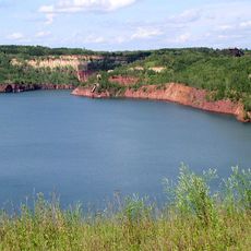
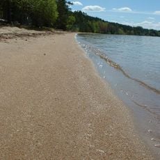
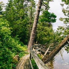
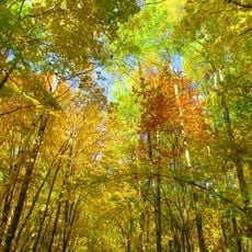
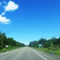
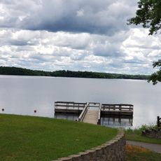
Big Fork State Forest spans more than 127,000 acres across northern Minnesota and features rolling hills formed by glacial activity, scattered lakes, open wetlands, and dense northern hardwood forests. The terrain shifts between wet lowlands and elevated wooded ridges that define the landscape.

The forest was officially established as a protected area in 1963 and harbors the Lost 40 section, where original old-growth trees have stood untouched for over a century due to a surveying mistake. These ancient trees offer a rare window into what the region's forests looked like before logging.

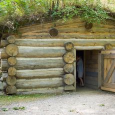
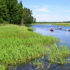
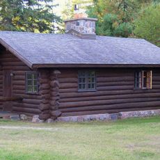
The forest reflects Minnesota's deep ties to outdoor living, where hunting, fishing, and watching wildlife remain central to how people spend their time in the region.

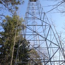
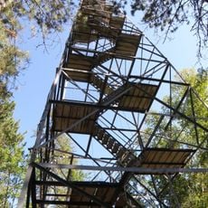
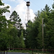
The forest has several access points and a trail network for hiking, mountain biking, and cross-country skiing depending on the season. Visitors should expect hilly terrain and trails that range from easy to challenging.

The forest is home to Minnesota's largest red pine tree, and the Big Fork River flows through it with rapids varying from gentle Class I to extreme Class V waters. This mix of notable trees and challenging whitewater makes it special for different kinds of visitors.

The community of curious travelers

AroundUs brings together thousands of curated places, local tips, and hidden gems, enriched daily by 60,000 contributors worldwide.

Start exploring
Location
GPS coordinates
47.47500,-93.56310
Latest update
December 14, 2025 14:23
Around this place
Lake Winnibigoshish
United States of America

Lake Winnibigoshish

46.5 km
Greyhound Bus Museum
United States of America

Greyhound Bus Museum

47.1 km
Hill Annex Mine State Park
United States of America

Hill Annex Mine State Park

27.2 km
McCarthy Beach State Park
United States of America

McCarthy Beach State Park

45.7 km
Scenic State Park
United States of America

Scenic State Park

27.4 km
Forest History Center
United States of America

Forest History Center

27.3 km
Schoolcraft State Park
United States of America

Schoolcraft State Park

33.1 km
Bowstring State Forest
United States of America

Bowstring State Forest

40.3 km
Hibbing City Hall
United States of America

Hibbing City Hall

47.4 km
Andrew G. Anderson House
United States of America

Andrew G. Anderson House

48 km
Marcell Ranger Station
United States of America

Marcell Ranger Station

16.4 km
Bigfork Village Hall
United States of America

Bigfork Village Hall

30.7 km
Sons of Italy Hall
United States of America

Sons of Italy Hall

47.7 km
East Howard Street Commercial Historic District
United States of America

East Howard Street Commercial Historic District

47.3 km
Coleraine Methodist Episcopal Church
United States of America

Coleraine Methodist Episcopal Church

23.3 km
Church of the Good Shepherd
United States of America

Church of the Good Shepherd

23.2 km
Mitchell–Tappan House
United States of America

Mitchell–Tappan House

47.4 km
Delvic Building
United States of America

Delvic Building

47.1 km
Chisholm Commercial Historic District
United States of America

Chisholm Commercial Historic District

51.3 km
Emmett Butler House
United States of America

Emmett Butler House

47 km
Remer State Forest
United States of America

Remer State Forest

42.9 km
Scenic State Park CCC/WPA/Rustic Style Historic Resources
United States of America

Scenic State Park CCC/WPA/Rustic Style Historic Resources

27.4 km
Minnesota Discovery Center
United States of America

Minnesota Discovery Center

50.2 km
Tioga Pit Beach
United States of America

Tioga Pit Beach

28.2 km
Farley Hill Lookout Tower
United States of America

Farley Hill Lookout Tower

44 km
Side Lake Lookout Tower
United States of America

Side Lake Lookout Tower

47.3 km
Coleraine Fire Lookout Tower
United States of America

Coleraine Fire Lookout Tower

23.3 km
Ruby Lake Camp
United States of America

Ruby Lake Camp

5.1 km
Show the full map
Reviews
Share your experience

No review yet

Discussions
Start a discussion...

No discussion yet

« Big Fork State Forest - State forest in Itasca and Koochiching Counties, United States » is provided by Around Us (aroundus.com). Images and texts are derived from Wikimedia project under a Creative Commons license. You are allowed to copy, distribute, and modify copies of this page, under the conditions set by the license, as long as this note is clearly visible.

Discover hidden gems everywhere you go!

From secret cafés to breathtaking viewpoints, skip the crowded tourist spots and find places that match your style. Our app makes it easy with voice search, smart filtering, route optimization, and insider tips from travelers worldwide. Download now for the complete mobile experience.

Around Us App Screenshot

A unique approach to discovering new places

Le Figaro

All the places worth exploring

France Info

A tailor-made excursion in just a few clicks

20 Minutes

Around Us
Travel Guide & Maps
Download

Send to your phone

QR Code
1

Open the camera app on your mobile.

2

Point at the QR code with your camera. A notification will appear.

3

Tap the notification to open the link.