Enable Location

We need your location to show you interesting places around you

Discover nearby places

Find interesting locations and hidden gems around you

Precise directions

Get accurate directions and distances to places

Your location is never shared with other users. It's only used when you tap the location button.

Koochiching County

Log in to your account

Start exploring — it's free

Trusted by 61,368 travelers worldwide

Continue with Google
Continue with Apple
or

We will send you a code to connect

By continuing, you accept our Terms and Conditions and our Privacy Policy

Check your inbox

We've sent a pincode in your inbox. Please enter the code below.

Koochiching County

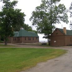
Koochiching County, Administrative county in northern Minnesota, United States.

Description

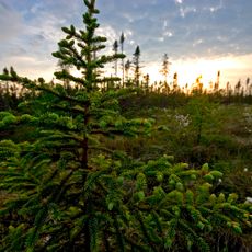
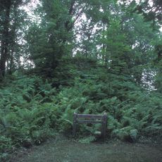
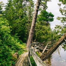
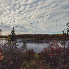
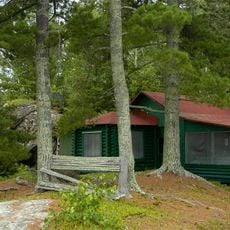
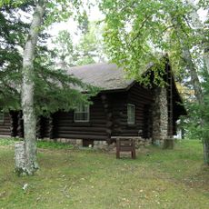
Koochiching County is an administrative county in northern Minnesota covering forests, lakes, and rivers with a border along Canada at the Rainy River. The area features an extensive network of waterways and dense woodlands that define the northern edge of the state.

History

The county was separated from Itasca County on December 19, 1906, during a period when logging was expanding rapidly across northern Minnesota. This division occurred at the height of resource development that reshaped the region.

Culture

The name comes from Ojibwe and Cree languages, meaning "at the place of inlets," which reflects the Native American heritage that shaped this region.

Practical

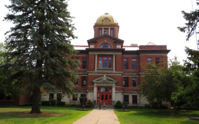
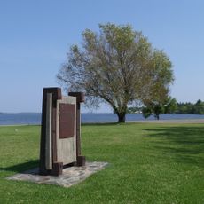
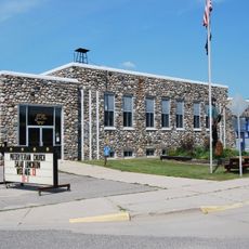
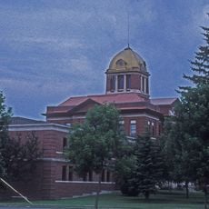
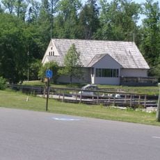
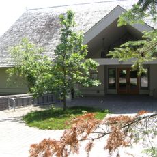
International Falls, the county seat, serves as the central hub for visitor services and administrative information. The region is best explored by car, and visitors should prepare for extreme cold conditions during winter months.

Did you know?

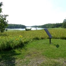
The region includes parts of Voyageurs National Park, an expansive water-based landscape that requires boats to fully explore. International Falls holds a record for extreme winter cold, making it one of the coldest places in the nation.

GPS coordinates
48.22160,-93.76843
Latest update
December 7, 2025 19:29

AroundUs brings together thousands of curated places, local tips, and hidden gems, enriched daily by 60,000 contributors worldwide. Discover all places nearby (Koochiching County).

Around this place
Voyageurs National Park
United States of America

Voyageurs National Park

72.4 km
Big Bog State Recreation Area
United States of America

Big Bog State Recreation Area

55.2 km
Grand Mound
United States of America

Grand Mound

33.2 km
Kay-Nah-Chi-Wah-Nung
Canada

Kay-Nah-Chi-Wah-Nung

52.4 km
Scenic State Park
United States of America

Scenic State Park

57.6 km
Fort Saint Pierre
Canada

Fort Saint Pierre

53.5 km
Kabetogama State Forest
United States of America

Kabetogama State Forest

59 km
Franz Jevne State Park
United States of America

Franz Jevne State Park

52.1 km
Jun Fujita Cabin
United States of America

Jun Fujita Cabin

75.7 km
Sts. Peter and Paul Russian Orthodox Church
United States of America

Sts. Peter and Paul Russian Orthodox Church

57.1 km
Finstad's Auto Marine Shop
United States of America

Finstad's Auto Marine Shop

53.8 km
Marcell Ranger Station
United States of America

Marcell Ranger Station

69.9 km
Bigfork Village Hall
United States of America

Bigfork Village Hall

53.8 km
Kabetogama Ranger Station District
United States of America

Kabetogama Ranger Station District

60.1 km
Koochiching County Courthouse
United States of America

Koochiching County Courthouse

49.8 km
Orr Roadside Parking Area
United States of America

Orr Roadside Parking Area

72 km
Civilian Conservation Corps Camp S-52
United States of America

Civilian Conservation Corps Camp S-52

69.9 km
Gold Mine Sites
United States of America

Gold Mine Sites

61.4 km
Scenic State Park CCC/WPA/Rustic Style Historic Resources
United States of America

Scenic State Park CCC/WPA/Rustic Style Historic Resources

57.7 km
Ash River Lookout Tower
United States of America

Ash River Lookout Tower

75.5 km
Kabetogama Lookout Tower
United States of America

Kabetogama Lookout Tower

58.1 km
Ash River Visitor Center
United States of America

Ash River Visitor Center

72 km
Kabetogama Lake Visitor Center
United States of America

Kabetogama Lake Visitor Center

60 km
Elephant Lake Lookout Tower
United States of America

Elephant Lake Lookout Tower

75.7 km
Rapid River Fire Tower
United States of America

Rapid River Fire Tower

69.5 km
Rainy Lake Visitor Center
United States of America

Rainy Lake Visitor Center

60.4 km
Black Bay Lookout Tower
United States of America

Black Bay Lookout Tower

60.8 km
Gheen Hill Lookout Tower
United States of America

Gheen Hill Lookout Tower

74.8 km
Show the full map
« Koochiching County - Administrative county in northern Minnesota, United States » is provided by Around Us (aroundus.com). Images and texts are derived from Wikimedia project under a Creative Commons license. You are allowed to copy, distribute, and modify copies of this page, under the conditions set by the license, as long as this note is clearly visible.

Discover hidden gems everywhere you go!

From secret cafés to breathtaking viewpoints, skip the crowded tourist spots and find places that match your style. Our app makes it easy with voice search, smart filtering, route optimization, and insider tips from travelers worldwide. Download now for the complete mobile experience.

Around Us App Screenshot

A unique approach to discovering new places

Le Figaro

All the places worth exploring

France Info

A tailor-made excursion in just a few clicks

20 Minutes

Around Us
Travel Guide & Maps
Download

Send to your phone

QR Code
1

Open the camera app on your mobile.

2

Point at the QR code with your camera. A notification will appear.

3

Tap the notification to open the link.