Enable Location

We need your location to show you interesting places around you

Discover nearby places

Find interesting locations and hidden gems around you

Precise directions

Get accurate directions and distances to places

Your location is never shared with other users. It's only used when you tap the location button.

Kabetogama State Forest

Log in to your account

Start exploring — it's free

Trusted by 62,376 travelers worldwide

Continue with Google
Continue with Apple
or

We will send you a code to connect

By continuing, you accept our Terms and Conditions and our Privacy Policy

Check your inbox

We've sent a pincode in your inbox. Please enter the code below.

Kabetogama State Forest

Kabetogama State Forest, State forest in St. Louis and Koochiching Counties, United States.

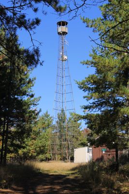
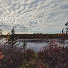
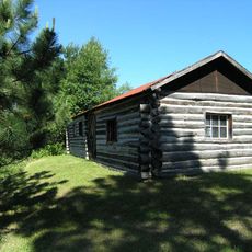
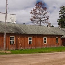
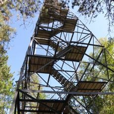
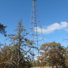
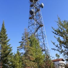
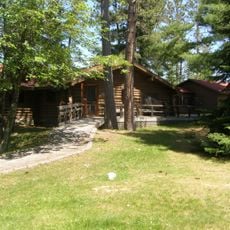
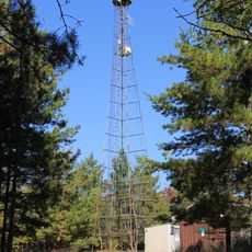
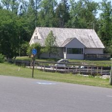
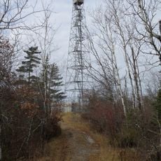
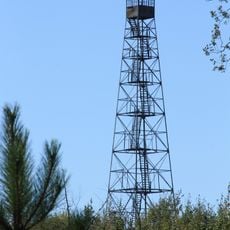
Kabetogama State Forest spreads across about 600,000 acres with diverse landscapes including lakes, wetlands, and forests where moose, bears, and waterfowl live. The land offers multiple campgrounds, boat launches, and various trails suitable for different activities and seasons.

The forest was officially established in 1933 as a protected area for local communities. It connects geographically with the Superior National Forest and Voyageurs National Park, forming part of Minnesota's forest network.

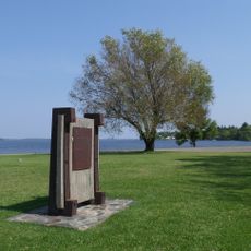
The forest holds deep connections to the Ojibwe people who have used its resources for hunting and fishing for generations. Visitors walking here today can sense the long relationship between the land and the communities that depend on it.

The area is most accessible from May through October when weather and water conditions are favorable. Visitors should prepare for uneven terrain and allow time for navigation across this expansive wilderness.

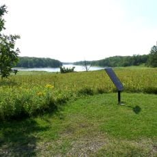
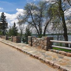
The forest contains Lake Vermilion, one of the largest lakes in the region with tens of thousands of acres, where visitors can boat to remote campsites. This island location offers genuine seclusion far from any civilization.

The community of curious travelers

AroundUs brings together thousands of curated places, local tips, and hidden gems, enriched daily by 60,000 contributors worldwide.

Start exploring
Location
GPS coordinates
48.43690,-93.03930
Latest update
December 13, 2025 11:42
Around this place
Voyageurs National Park
United States of America

Voyageurs National Park

13.5 km
Kettle Falls Hotel
United States of America

Kettle Falls Hotel

30.4 km
Grand Mound
United States of America

Grand Mound

50.2 km
Kay-Nah-Chi-Wah-Nung
Canada

Kay-Nah-Chi-Wah-Nung

79.8 km
Fort Saint Pierre
Canada

Fort Saint Pierre

31.1 km
Franz Jevne State Park
United States of America

Franz Jevne State Park

79.9 km
Kettle Falls Historic District
United States of America

Kettle Falls Historic District

30.3 km
Iron Range Off-Highway Vehicle State Recreation Area
United States of America

Iron Range Off-Highway Vehicle State Recreation Area

73.5 km
Jun Fujita Cabin
United States of America

Jun Fujita Cabin

17.7 km
Sts. Peter and Paul Russian Orthodox Church
United States of America

Sts. Peter and Paul Russian Orthodox Church

59.9 km
Alango School
United States of America

Alango School

76.1 km
Finstad's Auto Marine Shop
United States of America

Finstad's Auto Marine Shop

30.2 km
William Ingersoll Estate
United States of America

William Ingersoll Estate

42.8 km
Kabetogama Ranger Station District
United States of America

Kabetogama Ranger Station District

1.2 km
Koochiching County Courthouse
United States of America

Koochiching County Courthouse

32.9 km
Orr Roadside Parking Area
United States of America

Orr Roadside Parking Area

44.8 km
Civilian Conservation Corps Camp S-52
United States of America

Civilian Conservation Corps Camp S-52

40.1 km
Gold Mine Sites
United States of America

Gold Mine Sites

20.7 km
Sturgeon River State Forest
United States of America

Sturgeon River State Forest

69.4 km
Ash River Lookout Tower
United States of America

Ash River Lookout Tower

18.9 km
Kabetogama Lookout Tower
United States of America

Kabetogama Lookout Tower

9.4 km
Ash River Visitor Center
United States of America

Ash River Visitor Center

13.9 km
Rainy Lake Visitor Center
United States of America

Rainy Lake Visitor Center

18.7 km
Elephant Lake Lookout Tower
United States of America

Elephant Lake Lookout Tower

35.7 km
Kabetogama Lake Visitor Center
United States of America

Kabetogama Lake Visitor Center

1.1 km
Black Bay Lookout Tower
United States of America

Black Bay Lookout Tower

20.6 km
Gheen Hill Lookout Tower
United States of America

Gheen Hill Lookout Tower

53.3 km
Vermilion Dam Lookout Tower
United States of America

Vermilion Dam Lookout Tower

66.7 km
Show the full map
« Kabetogama State Forest - State forest in St. Louis and Koochiching Counties, United States » is provided by Around Us (aroundus.com). Images and texts are derived from Wikimedia project under a Creative Commons license. You are allowed to copy, distribute, and modify copies of this page, under the conditions set by the license, as long as this note is clearly visible.

Discover hidden gems everywhere you go!

From secret cafés to breathtaking viewpoints, skip the crowded tourist spots and find places that match your style. Our app makes it easy with voice search, smart filtering, route optimization, and insider tips from travelers worldwide. Download now for the complete mobile experience.

Around Us App Screenshot

A unique approach to discovering new places

Le Figaro

All the places worth exploring

France Info

A tailor-made excursion in just a few clicks

20 Minutes

Around Us
Travel Guide & Maps
Download

Send to your phone

QR Code
1

Open the camera app on your mobile.

2

Point at the QR code with your camera. A notification will appear.

3

Tap the notification to open the link.