Kay-Nah-Chi-Wah-Nung

Log in to your account

AroundUs is a community-driven map of interesting places, built by curious explorers like you. It grows with every review, story, and photo you share.
Connect to save your favorite spots, contribute locations, and create personalized routes.
By continuing, you accept our Terms and Conditions and our Privacy Policy
Add to collection
Map
Suggest a change
Share

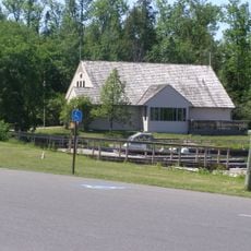
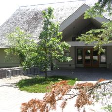
Kay-Nah-Chi-Wah-Nung, National historic site and burial mounds complex in Rainy River District, Canada

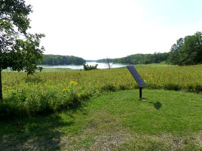
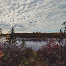
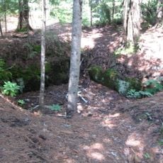
Kay-Nah-Chi-Wah-Nung is a site with fifteen burial mounds spread across three kilometers along the north bank of the Rainy River. The location contains remains from approximately thirty village sites, reflecting different periods of habitation and use.

Construction of the burial mounds at this location began around 3000 years ago and continued until the 1600s. This extended timeline shows the place's lasting importance to successive First Nations cultures.

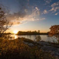
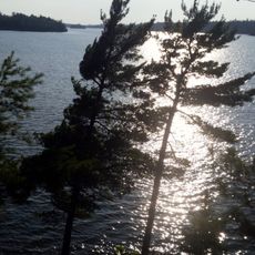
The Ojibway name Kay-Nah-Chi-Wah-Nung means 'place of the long rapids' and reflects its importance as a gathering location where First Nations peoples gathered over many generations.

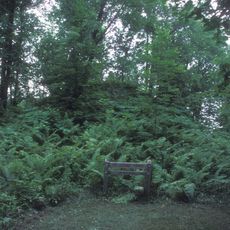
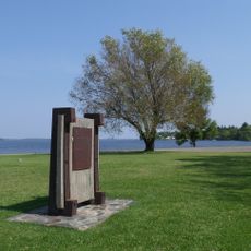
Visitors can explore the grounds by walking along marked trails that connect the mounds and village sites. Wearing sturdy shoes is helpful, as the terrain can be uneven and soft in places.

Some of the burial mounds reach heights of up to 40 feet (12 meters), representing one of Canada's largest concentrations of ancient burial structures. These monuments show the engineering skill of the First Nations peoples who built them.

Location: Rainy River District

GPS coordinates: 48.64670,-94.07420

Latest update: December 12, 2025 12:03

Photos
Around this place
Voyageurs National Park
United States of America

Voyageurs National Park

89.2 km
Fort Saint Charles
United States of America

Fort Saint Charles

103.6 km
Big Bog State Recreation Area
United States of America

Big Bog State Recreation Area

60 km
Grand Mound
United States of America

Grand Mound

30.6 km
United States of America

Northwest Angle State Forest

97.4 km
Zippel Bay State Park
United States of America

Zippel Bay State Park

62.5 km
Fort Saint Pierre
Canada

Fort Saint Pierre

52.6 km
Kabetogama State Forest
United States of America

Kabetogama State Forest

79.8 km
Franz Jevne State Park
United States of America

Franz Jevne State Park

557 m
Sioux Narrows Bridge
Canada

Sioux Narrows Bridge

85.4 km
Jun Fujita Cabin
United States of America

Jun Fujita Cabin

89.2 km
Birch Point Provincial Park
Canada

Birch Point Provincial Park

102.8 km
Finstad's Auto Marine Shop
United States of America

Finstad's Auto Marine Shop

53.6 km
Bigfork Village Hall
United States of America

Bigfork Village Hall

105.2 km
Kabetogama Ranger Station District
United States of America

Kabetogama Ranger Station District

80.2 km
Koochiching County Courthouse
United States of America

Koochiching County Courthouse

49.1 km
Gold Mine Sites
United States of America

Gold Mine Sites

66.9 km
Sioux Narrows Provincial Park
Canada

Sioux Narrows Provincial Park

86.6 km
Ash River Lookout Tower
United States of America

Ash River Lookout Tower

98.6 km
Kabetogama Lookout Tower
United States of America

Kabetogama Lookout Tower

85 km
Ash River Visitor Center
United States of America

Ash River Visitor Center

93.2 km
Kabetogama Lake Visitor Center
United States of America

Kabetogama Lake Visitor Center

80.2 km
Rainy Lake Visitor Center
United States of America

Rainy Lake Visitor Center

67.6 km
Faunce Lookout Tower
United States of America

Faunce Lookout Tower

65 km
Rapid River Fire Tower
United States of America

Rapid River Fire Tower

34.5 km
Black Bay Lookout Tower
United States of America

Black Bay Lookout Tower

66.5 km
Linder Fire Tower
United States of America

Linder Fire Tower

95.5 km
Prosper Lookout Tower
United States of America

Prosper Lookout Tower

72 km
Show the full map
Reviews

Visited this place? Tap the stars to rate it and share your experience / photos with the community! Try now! You can cancel it anytime.

« Kay-Nah-Chi-Wah-Nung - National historic site and burial mounds complex in Rainy River District, Canada » is provided by Around Us (aroundus.com). Images and texts are derived from Wikimedia project under a Creative Commons license. You are allowed to copy, distribute, and modify copies of this page, under the conditions set by the license, as long as this note is clearly visible.

Discover hidden gems everywhere you go!

From secret cafés to breathtaking viewpoints, skip the crowded tourist spots and find places that match your style. Our app makes it easy with voice search, smart filtering, route optimization, and insider tips from travelers worldwide. Download now for the complete mobile experience.

Around Us App Screenshot

A unique approach to discovering new places

Le Figaro

All the places worth exploring

France Info

A tailor-made excursion in just a few clicks

20 Minutes